Browse / Canada / Saskatchewan / Estevan
Estevan
Saskatchewancity

Estevan
Total population
11,054
Founded
1892
Demographic figures from Statistics Canada. Overview below cites Wikipedia and may reference a different year.
City facts
Facts from Wikidata (CC0).
Overview
Estevan is the eleventh-largest city in Saskatchewan, Canada. It is approximately 16 kilometres (9.9 mi) north of the Canada–United States border. The Souris River runs by the city. This city is surrounded by the Rural Municipality of Estevan No. 5.
Read more on WikipediaHistory & geography
History
The first settlers in what was to become Estevan arrived in 1892, along with the expansion of the Canadian Pacific Railway. It was incorporated as a village in 1899, and later became a town in 1906. On March 1, 1957, Estevan acquired the status of a city, which, in Saskatchewan terms, is any community of 5,000 or more. The name origin is attributed to George Stephen's registered telegraphic address, Estevan. George Stephen was the first President of the Canadian Pacific Railway, from 1881 to 1888. On December 22, 1915, the 152nd (Weyburn-Estevan) Battalion, CEF was authorised and recruited men from the area before departing to Great Britain on October 3, 1916. Estevan was the site of the notorious Estevan riot in 1931. Although most of the strikers were from nearby Bienfait, the strike is associated with Estevan because it was in this city the demonstrators were met by members of the Royal Canadian Mounted Police. After the subsequent riot, which lasted 45 minutes, three strikers lay dead. It was later proven the three miners had been killed by the RCMP. The miners had been organised by the Workers' Unity League.
Excerpted from the corresponding Wikipedia article (CC BY-SA).
Geography
Coordinates & boundaries from the US Census TIGER/Line shapefiles.
Climate
Air quality
Walkability
Amenities nearby
Wildlife & biodiversity
Earthquake history
Photos
Sights & places nearby
Notable people from here


People born within ~10 km, from Wikidata (CC0). Click any name for their Wikipedia article.
Geography & sun
Nearby airports
Public attention
Books about this place
Recent natural events nearby
- Wildfire Ayers Pond, Prairie, MontanaWildfires · 2026-09-03 · 192 mi
- Incident Complex Rattlesnake Complex, Prairie, MontanaWildfires · 2026-09-04 · 198 mi
- Wildfire Snow, Custer, MontanaWildfires · 2026-09-02 · 210 mi
Wildfires, storms and other events from NASA EONET (last 12 months, within 250 mi).
Ground air-quality sensors
Recently spotted species

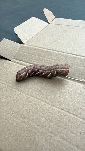
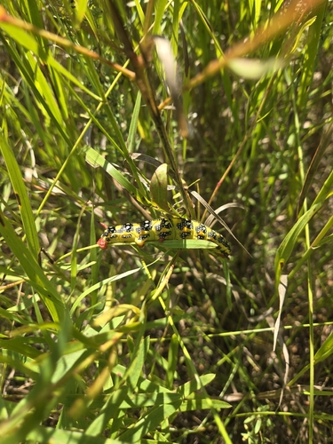
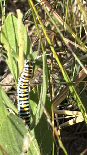
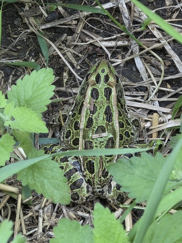
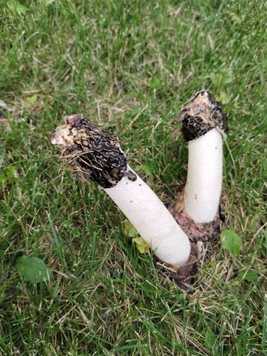


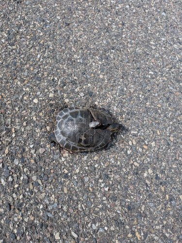
Research-grade observations from iNaturalist (within ~15 mi).
Events
Gallery
Official Identifiers
StatCan — Statistics Canada
- SGC code
- 4701024
- Population (Wikidata)
- 11,483
- Wikidata
- Q1018271
Standard Geographical Classification (SGC) via Wikidata P3012
Sources
- • Wikipedia
- • Wikidata
- • iNaturalist
- • NASA EONET
- • StatCan — Statistics Canada — Standard Geographical Classification (SGC) via Wikidata P3012