Browse / Canada / New Brunswick / Exmoor
Exmoor
New Brunswickhamlet
Founded
1954
Demographic figures from Statistics Canada. Overview below cites Wikipedia and may reference a different year.
City facts
Facts from Wikidata (CC0).
Overview
Set in New Brunswick, Canada, Exmoor is recorded in open geodata as a hamlet. The settlement sits at 46.972°, -65.825°, a temperate location in the northern hemisphere. No reliable population estimate is published for this entry in the open data we rely on. The latitude suggests four distinct seasons with warm summers and cold winters. Solar-resource estimates put the area at about 1,243 kWh/m² of solar irradiance per year with sunshine for roughly 49% of daylight hours. Read on for charts and tables covering demographics, climate, hazards, schools, wildlife and other open-data indicators for Exmoor.
Summary composed automatically from structured open data on this page. See our Terms for details.
History & geography
History
There is evidence of occupation of the area by people from Mesolithic times onward. In the Neolithic period, people started to manage animals and grow crops on farms cleared from the woodland, rather than act purely as hunters and as gatherers. It is also likely that extraction and smelting of mineral ores to make metal tools, weapons, containers and ornaments started in the late Neolithic, and continued into the Bronze and Iron Ages. Tarr Steps are a prehistoric ( 1000 BC) clapper bridge across the River Barle, about south-east of Withypool and north-west of Dulverton. The stone slabs weigh up to 5 tonnes apiece, and the bridge has been designated by English Heritage as a grade I listed building, to recognise its special architectural, historical or cultural significance. There is little evidence of Roman occupation apart from two fortlets on the coast. Lanacombe is the site of several standing stones and cairns which have been scheduled as ancient monuments. The stone settings are between and high. A series of Bronze Age stone cairns are closely associated with the standing stones. Holwell Castle, at Parracombe, was a Norman motte-and-bailey castle built to guard the junction of the east–west and north–south trade routes, enabling movement of people and goods and the growth of the population. Alternative explanations for its construction suggest it may have been constructed to obtain taxes at the River Heddon bridging place, or to protect and supervise silver mining in the area around Combe Martin. It was in diameter and high above the bottom of a rock cut ditch which is deep. It was built, in the late 11th or early 12th century. The earthworks of the castle are still clearly visible from a nearby footpath, but there is no public access to them.…
Geography
Exmoor has of coastline. The highest sea cliff on mainland Britain (if a cliff is defined as having a slope greater than 60 degrees) is Great Hangman near Combe Martin at high, with a cliff face of . Its sister cliff is the Little Hangman, which marks the edge of Exmoor. The coastal hills reach a maximum height of at Culbone Hill. Exmoor's woodlands sometimes reach the shoreline, The Exmoor Coastal Heaths have been recognised as a Site of Special Scientific Interest due to the diversity of plant species present. The scenery of rocky headlands, ravines, waterfalls and towering cliffs gained the Exmoor coast recognition as a heritage coast in 1991. With its huge waterfalls and caves, this dramatic coastline has become an adventure playground for both climbers and explorers. The cliffs provide one of the longest and most isolated seacliff traverses in the UK. The South West Coast Path, at the longest National Trail in England and Wales, starts at Minehead and runs along all of Exmoor's coast. There are small harbours at Lynmouth, Porlock Weir and Combe Martin. Once crucial to coastal trade, the harbours are now primarily used for pleasure; individually owned sailing boats and non-commercial fishing boats are often found in the harbours. and Sexton's Burrows forms a natural breakwater to the harbour of Watermouth Bay on the coast. The high ground forms the catchment area for numerous rivers and streams. There are about of named rivers on Exmoor. The River Exe, after which Exmoor is named, rises at Exe Head near the village of Simonsbath, close to the Bristol Channel coast, but flows more or less directly due south, so that most of its length lies in Devon. It reaches the sea at a substantial ria (estuary) on the south (English Channel) coast of Devon. It has…
Excerpted from the corresponding Wikipedia article (CC BY-SA).
Geography
Coordinates & boundaries from the US Census TIGER/Line shapefiles.
Climate
Air quality
Walkability
Amenities nearby
Wildlife & biodiversity
Earthquake history
Photos
Sights & places nearby
Notable people from here
Nearby places in New Brunswick
- Sunny Corner1.8 mi away
- Metepenagiag / Red Bank2 mi away · pop. 400
- Lyttleton4.8 mi away
- Warwick Settlement6.1 mi away
- Strathadam7.4 mi away
- Natoaganeg / Eel Ground9.4 mi away · pop. 575
- Upper Derby9.5 mi away
- Millerton10.3 mi away
- McKinleyville10.4 mi away
- White Rapids10.4 mi away
- Derby Junction10.9 mi away
- Renous11.3 mi away
Geography & sun
Elevation, sunrise/sunset and daylight from Open-Meteo. Solar climatology from NASA POWER.
Nearby airports
Public attention
Pageview totals from the Wikimedia Pageviews API.
Books about this place
Recent natural events nearby
Ground air-quality sensors
Recently spotted species
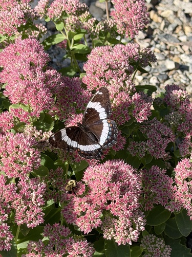

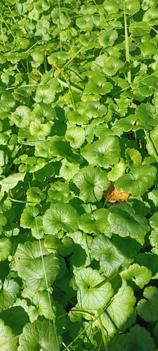
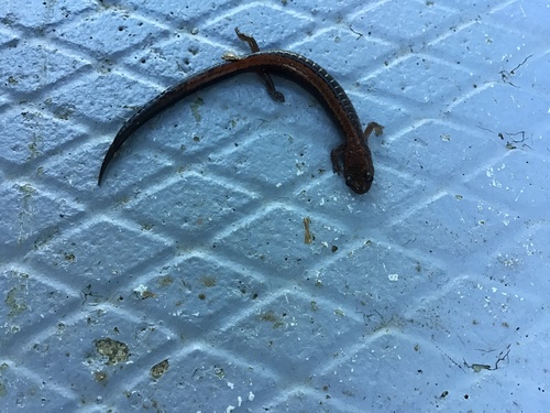

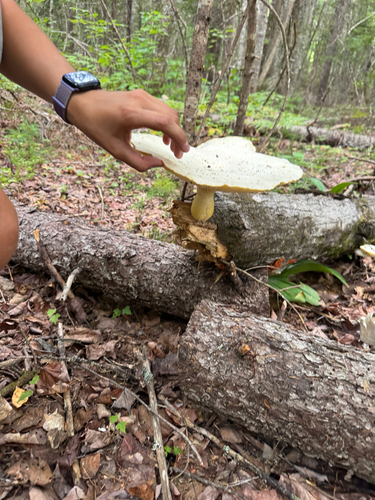
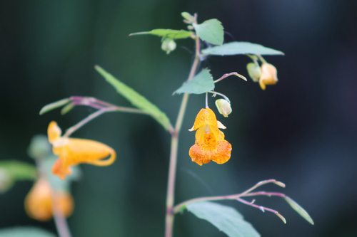
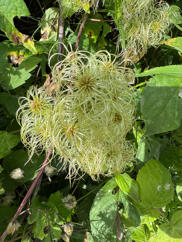
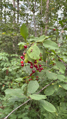
Research-grade observations from iNaturalist (within ~15 mi).
Events
Gallery
Sources
- • Wikipedia
- • Wikidata
- • iNaturalist
- • Open-Elevation
- • Open-Meteo / sunrise-sunset.org
- • Wikipedia Pageviews API