Browse / United States / California / Fair Oaks
Fair Oaks
CaliforniaCDP
Total population
32,799
Median home value
$683,000
Bachelor's+
Median income
$116,975
Demographic figures from US Census Bureau · ACS 5-year estimates. Overview below cites Wikipedia and may reference a different year.
City facts
Overview
Fair Oaks is an unincorporated community in Sacramento County, California, United States. It is part of the Sacramento metropolitan area. For statistical purposes, the United States Census Bureau has defined Fair Oaks as a census-designated place (CDP). The population was 32,514 at the 2020 census, up from 30,912 at the 2010 census. The Fair Oaks zip code is 95628 and its area codes are 916 and 279. It is bordered to the west by Carmichael, north by the city of Citrus Heights, to the east by Orangevale, and to the south by the American River.
Read more on WikipediaHistory & geography
History
The community began as part of the 1844 Rancho San Juan Mexican land grant. In 1895, Brevet Brigadier General Charles Henry Howard and James W. Wilson of the Howard-Wilson Publishing Company of Chicago acquired rights to present Fair Oaks community, then primarily covered by citrus farms, from California Senator Frederick K. Cox and businessman Crawford W. Clarke. The Howard-Wilson company surveyed and mapped the land and began to promote Fair Oaks as one of their “Sunset Colonies.” The Howard-Wilson company advertised Fair Oaks as an innovative and growing citrus colony after destructive freezes in Southern California and Florida and a national depression hitting in 1893. Many of the purchasers were professionals and other friends of the investors and the Fair Oaks community was initially composed primarily of businessmen and other professionals, including bankers and engineers. In 1897, 300 permanent settlers lived in Fair Oaks, and purchased land in 5 to 20-acre tracts. Few farmers came to Fair Oaks, causing investment to diminish. This led to the Howard-Wilson Company withdrawing from the area. A club of businessmen in Chicago and Sacramento who had an investment (land or fruit) in the newborn colony and Orangevale formed the Chicago-Fair Oaks Club in 1899. They lobbied the government and other investors. They also helped in the construction of a bridge in Fair Oaks in 1901. Some temporary dislocations occurred when employment at Aerojet dropped over 90% in the late 1960s and early 1970s. The growth rate still continued, however, because of the increased access to Sacramento by Highway 50 and the construction of the Sunrise Boulevard Bridge in 1954. This allowed both for residents of Fair Oaks to find greater employment in the connecting area and for…
Geography
Fair Oaks is a natural, lush foliage town with rolling streets, canopies of trees, located at (38.651254, -121.259279), between Sacramento and Folsom. Fair Oaks is bounded on the south side by the American River, and Gold River, on the north side by the city of Citrus Heights, on the west side by Carmichael, and the east side by Orangevale and Folsom. Fair Oaks has a mix of upscale, custom home pocket areas, few apartments, and is a semi-rural neighborhood with easy access to Highway 50. According to the United States Census Bureau, the CDP has a total area of , of which is land and (3.20%) is water. Fair Oaks has a hot-summer Mediterranean climate (Köppen Csa), characterized by damp to wet, mild winters and hot, dry summers. The normal annual mean temperature is , with the monthly daily average temperature ranging from in December to in July. Summer heat is often moderated by a sea breeze known as the "delta breeze" which comes through the Sacramento–San Joaquin River Delta from the San Francisco Bay, and temperatures cool down sharply at night. On average, there are 73 days where the high exceeds , and 14 days where the high exceeds ; On the other extreme, there are 15 days where the temperature does not exceed , and 15 freezing nights per year. The foggiest months are December and January. Tule fog can be extremely dense, lowering visibility to less than and making driving conditions extremely hazardous. Chilling tule fog events have been known to last for several consecutive days or weeks. During Tule fog events, temperatures do not exceed 50 degrees. The average annual precipitation is . The wet season is generally October through April, though there may be a day or two of light rainfall in June or September. On average, precipitation falls on 60…
Excerpted from the corresponding Wikipedia article (CC BY-SA).
Demographics & economy
Race & ethnicity
Source: US Census Bureau — American Community Survey, 5-year estimates.
Geography
Coordinates & boundaries from the US Census TIGER/Line shapefiles.
Climate
Current forecast
Forecast for Fair Oaks, CA from NOAA NWS API.
Air quality
Industrial & pollution facilities
Natural hazard risk
Health (adults)
Walkability
Amenities nearby
Wildlife & biodiversity
Schools
Earthquake history
Photos
Sights & places nearby
Notable people from here


People born within ~10 km, from Wikidata (CC0). Click any name for their Wikipedia article.
Nearby places in California
Geography & sun
Elevation, sunrise/sunset and daylight from Open-Meteo. Solar climatology from NASA POWER.
Nearby airports
Public attention
Pageview totals from the Wikimedia Pageviews API.
Books about Fair Oaks



Search results from Open Library.
Recent natural events nearby
- Wildfire GANN, Calaveras, CaliforniaWildfires · 2026-08-03 · 45 mi
- Wildfire FLORISTON, Nevada, CaliforniaWildfires · 2026-09-16 · 84 mi
- Wildfire Hawk, Washoe, NevadaWildfires · 2026-08-22 · 93 mi
- Wildfire Hawk, Washoe, NevadaWildfires · 2026-08-22 · 93 mi
- Wildfire Bug, Lassen, CaliforniaWildfires · 2026-08-08 · 99 mi
- Wildfire LUCAS, Lake, CaliforniaWildfires · 2026-09-10 · 102 mi
- Wildfire LUCAS, Lake, CaliforniaWildfires · 2026-09-10 · 102 mi
- Wildfire FELIZ, Mendocino, CaliforniaWildfires · 2026-08-01 · 106 mi
Wildfires, storms and other events from NASA EONET (last 12 months, within 250 mi).
Ground air-quality sensors
Recently spotted species
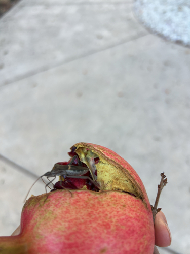
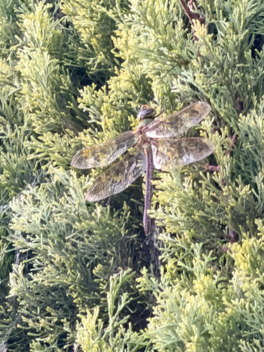
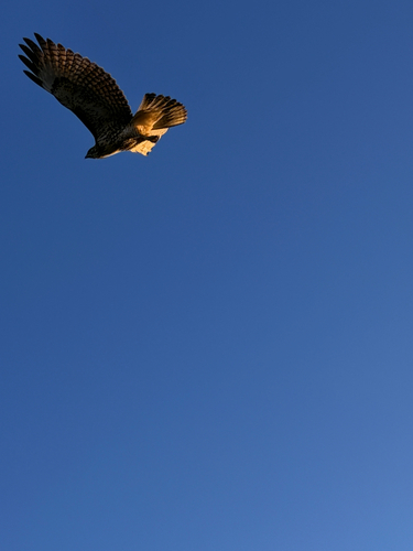
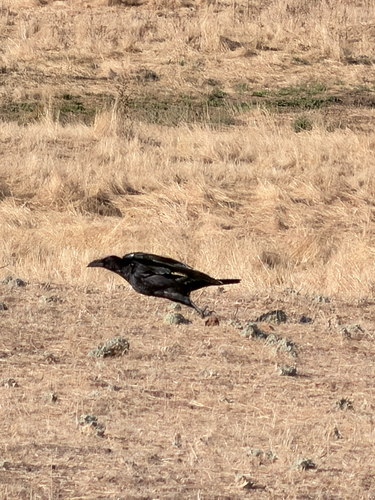
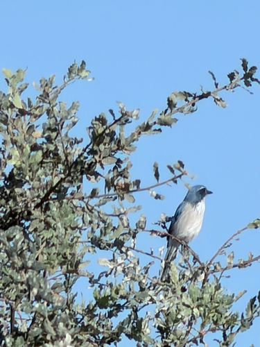
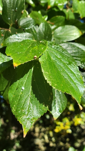
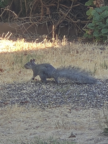
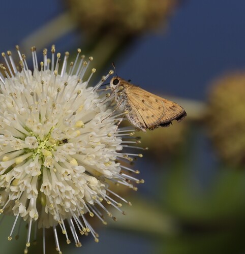
Research-grade observations from iNaturalist (within ~15 mi).
Nearest stream gauge
Events
Gallery
Sources
- • Wikipedia
- • US Census Bureau (ACS 5-year estimates)
- • NOAA National Weather Service
- • Wikidata
- • iNaturalist
- • Open-Meteo / sunrise-sunset.org
- • Wikipedia Pageviews API
- • Open Library
- • NASA EONET