Browse / United States / California / Fields Landing
Fields Landing
CaliforniaCDP

Fields Landing
Total population
532
Median home value
$435,500
Bachelor's+
Median income
$78,686
Demographic figures from US Census Bureau · ACS 5-year estimates. Overview below cites Wikipedia and may reference a different year.
City facts
Facts from Wikidata (CC0).
Overview
Fields Landing is a census-designated place in Humboldt County, California, United States. It is located on Humboldt Bay, 6 miles (9.7 km) south-southwest of downtown Eureka, at an elevation of 13 feet. The ZIP Code is 95537. The population was 287 at the 2020 census.
Read more on WikipediaHistory & geography
History
Before the arrival of European settlers, the area now known as Humboldt County was occupied by a number of indigenous peoples, including the Wiyot, Yurok, Hupa, Karuk, Chilula, Whilkut, and the southern Athabascans. Fields Landing is located within the original territory of the Wiyot tribe. The first recorded entrance into Humboldt Bay occurred in 1806 by members of a Russian-American company from Sitka. The Josiah Gregg party arrived by land in December 1849, and by 1850 the first ships came to the bay bringing men seeking gold. As the Gold Rush subsided, the economy shifted to the use of the surrounding natural resources, mainly timber, salmon, and agricultural land. The area was a prime exporter of agricultural products from 1857 to 1900. Fort Humboldt, built in 1853 to protect settlers from retaliatory attacks and keep peace between the settlers and the natives, was a failure, as the garrison did neither successfully. Indians were enslaved under the terms of the 1850 "Act for the Government and Protection of Indians" that provided legal basis for the continued Californio practice of capturing and using Native people as forced workers, particularly that of young women and children, which was carried on as a legal business enterprise. Intrusion of professional hunters and settlers and their herds of cattle and pigs into the hunting and gathering areas of the natives in the interior led the reduction of their food supplies and native resistance to this began the Bald Hills War. Development around the bay, disease, and the February 26, 1860 Indian Island Massacre, and consequences of the Bald Hills War, led to decimation of the peaceful Wiyot reducing their numbers from 3,000 to less than 100 survivors by 1865. In the 1880s, docks were built in Fields Landing for…
Excerpted from the corresponding Wikipedia article (CC BY-SA).
Demographics & economy
Race & ethnicity
Source: US Census Bureau — American Community Survey, 5-year estimates.
Geography
Coordinates & boundaries from the US Census TIGER/Line shapefiles.
Climate
Current forecast
Forecast for Fields Landing, CA from NOAA NWS API.
Air quality
Industrial & pollution facilities
Natural hazard risk
Health (adults)
Walkability
Amenities nearby
Wildlife & biodiversity
Schools
Earthquake history
Photos
Sights & places nearby
Notable people from here


People born within ~10 km, from Wikidata (CC0). Click any name for their Wikipedia article.
Geography & sun
Elevation, sunrise/sunset and daylight from Open-Meteo. Solar climatology from NASA POWER.
Nearby airports
Public attention
Pageview totals from the Wikimedia Pageviews API.
Books about Fields Landing

Search results from Open Library.
Recent natural events nearby
- Wildfire MP18, Humboldt, CaliforniaWildfires · 2026-08-07 · 40 mi
- Wildfire LUCAS, Lake, CaliforniaWildfires · 2026-09-10 · 121 mi
- Wildfire LUCAS, Lake, CaliforniaWildfires · 2026-09-10 · 122 mi
- Wildfire Fielder Mtn, Jackson, OregonWildfires · 2026-08-13 · 128 mi
- Wildfire FELIZ, Mendocino, CaliforniaWildfires · 2026-08-01 · 132 mi
- Wildfire Wrights Spring, Klamath, OregonWildfires · 2026-08-05 · 176 mi
- Wildfire Bug, Lassen, CaliforniaWildfires · 2026-08-08 · 231 mi
- Wildfire Picture Rock, Lake, OregonWildfires · 2026-08-16 · 237 mi
Wildfires, storms and other events from NASA EONET (last 12 months, within 250 mi).
Ground air-quality sensors
Recently spotted species
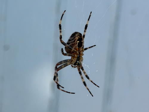
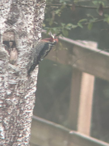
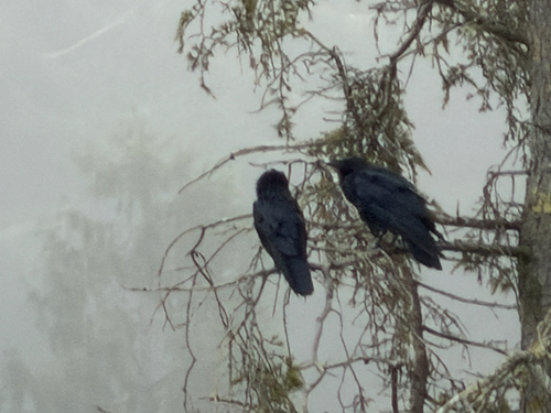
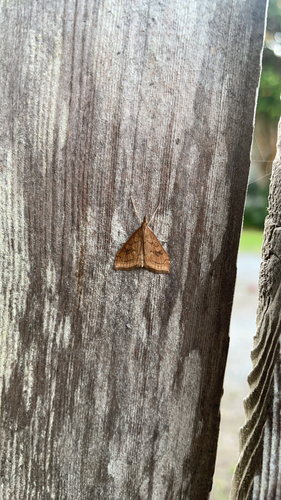
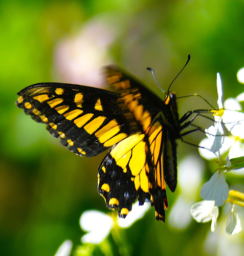
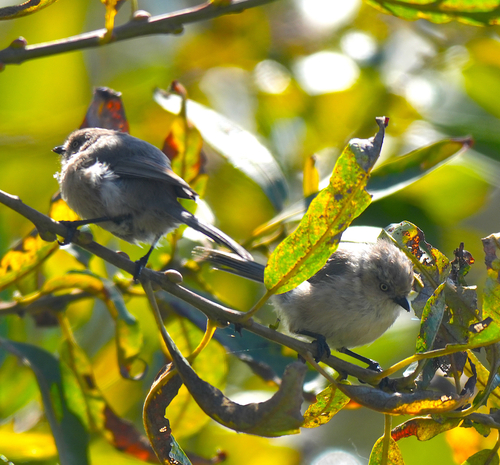
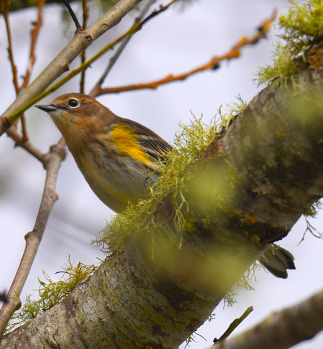
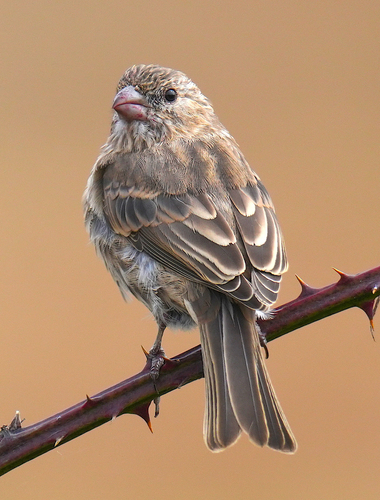
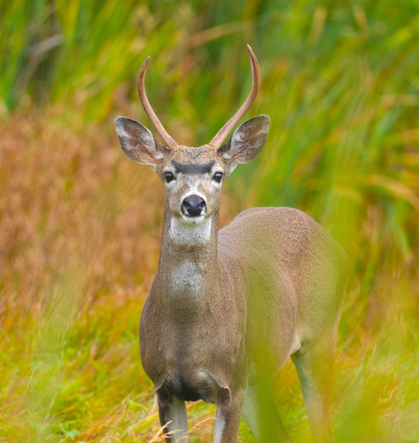
Research-grade observations from iNaturalist (within ~15 mi).
Nearest stream gauge
Live readings from USGS NWIS · measured 2026-09-18 14:45 UTC.
Events
Gallery
Sources
- • Wikipedia
- • US Census Bureau (ACS 5-year estimates)
- • NOAA National Weather Service
- • Wikidata
- • USGS NWIS (water data)
- • iNaturalist
- • Open-Meteo / sunrise-sunset.org
- • Wikipedia Pageviews API
- • Open Library
- • NASA EONET