Browse / Canada / Newfoundland and Labrador / Fleur de Lys
Fleur de Lys
Newfoundland and Labradorhamlet

Fleur de Lys
Demographic figures from Statistics Canada. Overview below cites Wikipedia and may reference a different year.
City facts
Overview
The fleur-de-lis, also spelled fleur-de-lys, is a common heraldic charge in the (stylized) shape of a lily. Most notably, the fleur-de-lis is depicted on multiple flags of Quebec and on the traditional coat of arms of France that was used from the High Middle Ages until the French Revolution in 1789, and then again in brief periods in the 19th century. This design still represents France and its royal dynasty in the form of marshalling on the arms of other countries and jurisdictions, including Spain, Quebec and Canada.
Read more on WikipediaHistory & geography
Geography
Coordinates & boundaries from the US Census TIGER/Line shapefiles.
Climate
Air quality
Walkability
Amenities nearby
Wildlife & biodiversity
Earthquake history
Photos
Sights & places nearby
Notable people from here
Geography & sun
Nearby airports
Public attention
Books about this place
Recent natural events nearby
Ground air-quality sensors
Recently spotted species

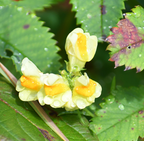

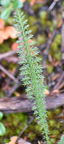
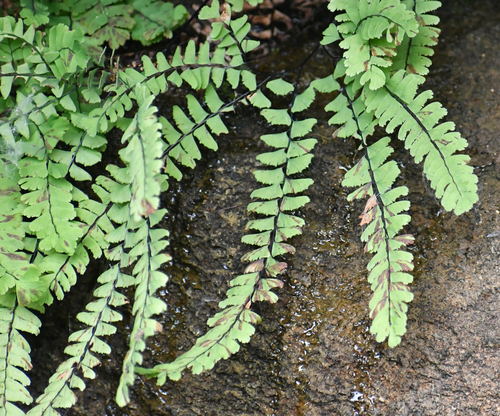
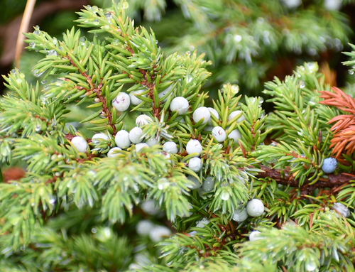
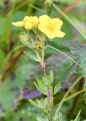
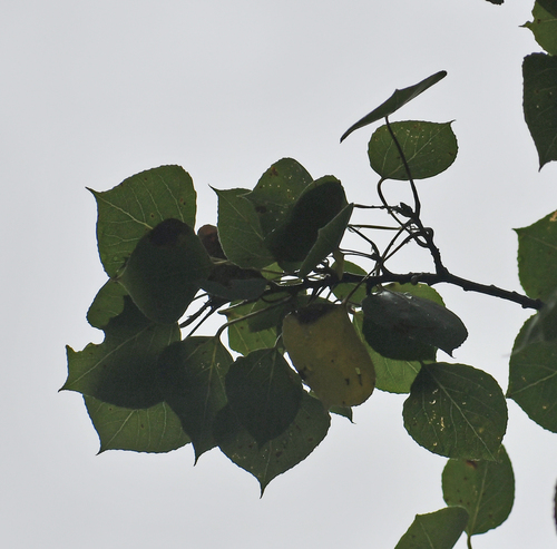
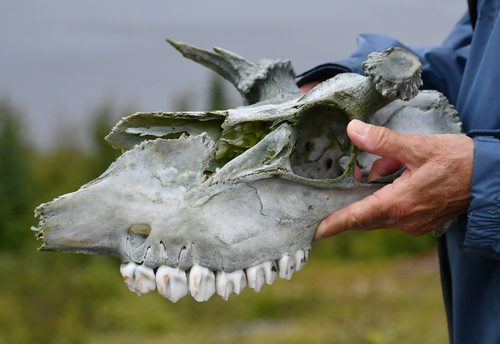
Research-grade observations from iNaturalist (within ~15 mi).
Events
Gallery
Official Identifiers
StatCan — Statistics Canada
- SGC code
- 1008075
- Wikidata
- Q5458872
Standard Geographical Classification (SGC) via Wikidata P3012
Sources
- • Wikipedia
- • iNaturalist
- • StatCan — Statistics Canada — Standard Geographical Classification (SGC) via Wikidata P3012