Browse / Canada / Alberta / Foremost
Foremost
Albertavillage

Foremost
Demographic figures from Statistics Canada. Overview below cites Wikipedia and may reference a different year.
City facts
Facts from Wikidata (CC0).
Overview
Foremost is a village in Alberta, Canada. It is located 106 km (66 mi) southwest of Medicine Hat, along the Red Coat Trail, in the County of Forty Mile No. 8.
Read more on WikipediaHistory & geography
Geography
Foremost experiences a semi-arid climate (Köppen climate classification BSk).
Excerpted from the corresponding Wikipedia article (CC BY-SA).
Geography
Coordinates & boundaries from the US Census TIGER/Line shapefiles.
Climate
Air quality
Walkability
Amenities nearby
Wildlife & biodiversity
Most-observed species
- Mourning DoveZenaida macroura (Linnaeus, 1758) · Aves35
- Red-winged BlackbirdAgelaius phoeniceus (Linnaeus, 1766) · Aves32
- MallardAnas platyrhynchos Linnaeus, 1758 · Aves31
- KilldeerCharadrius vociferus Linnaeus, 1758 · Aves27
- Horned LarkEremophila alpestris (Linnaeus, 1758) · Aves25
- Black-billed MagpiePica hudsonia (Sabine, 1823) · Aves23
- House SparrowPasser domesticus (Linnaeus, 1758) · Aves22
- Northern ShovelerSpatula clypeata (Linnaeus, 1758) · Aves22
Citizen-science & research observations from the Global Biodiversity Information Facility (GBIF).
Earthquake history
Most recent
- M 2.9 — 2014-09-1213 km ENE of Picture Butte, Canada
- M 3.4 — 2014-09-0736 km SSE of Magrath, Canada
- M 3 — 2009-06-0920 km NNW of Santa Rita, Montana
- M 3.5 — 2008-01-0313 km SSE of Magrath, Canada
Events from the USGS Earthquake Catalog (global) (FDSN Event Web Service).
Photos
Sights & places nearby
Notable people from here
Nearby places in Alberta
- Baker Hutterite Colony9.9 mi away
- Starbrite Hutterite Colony10.1 mi away
- Kings Lake Hutterite Colony10.5 mi away
- Shamrock Hutterite Colony13 mi away
- Sunrise Hutterite Colony14.3 mi away
- Ponderosa Hutterite Colony15.6 mi away
- Rosedale Hutterite Colony18.2 mi away
- Gold Spring Hutterite Colony20.3 mi away
- Mayfield Hutterite Colony20.5 mi away
- Fairlane Hutterite Colony20.8 mi away
- Miltow Hutterite Colony22.2 mi away
- Prairie Home Hutterite Colony23.5 mi away
Geography & sun
Elevation, sunrise/sunset and daylight from Open-Meteo. Solar climatology from NASA POWER.
Nearby airports
Public attention
Pageview totals from the Wikimedia Pageviews API.
Books about Foremost


Search results from Open Library.
Recent natural events nearby
- Wildfire Middle Coulee, Chouteau, MontanaWildfires · 2026-08-02 · 122 mi
- Wildfire Camp Creek, Powell, MontanaWildfires · 2026-08-21 · 161 mi
- Wildfire Skillet, Lincoln, MontanaWildfires · 2026-07-29 · 169 mi
- Wildfire Deer Creek, Lincoln, MontanaWildfires · 2026-08-20 · 189 mi
- Wildfire Ant Park, Meagher, MontanaWildfires · 2026-07-31 · 193 mi
- Wildfire Parker Lake, Boundary, IdahoWildfires · 2026-08-23 · 238 mi
- Wildfire Silver, Boundary, IdahoWildfires · 2026-08-23 · 243 mi
- Wildfire Dudley, Shoshone, IdahoWildfires · 2026-08-26 · 245 mi
Wildfires, storms and other events from NASA EONET (last 12 months, within 250 mi).
Ground air-quality sensors
Recently spotted species
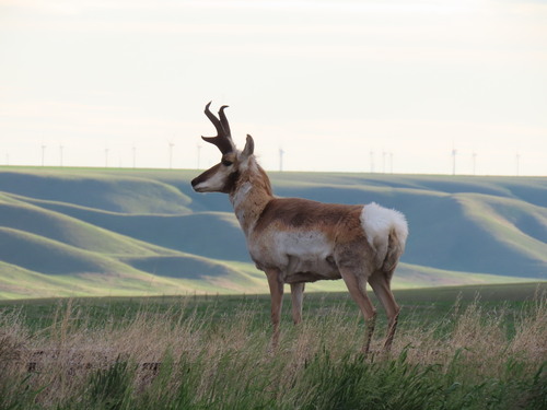
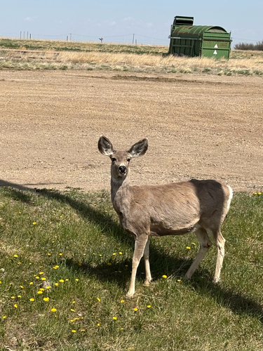
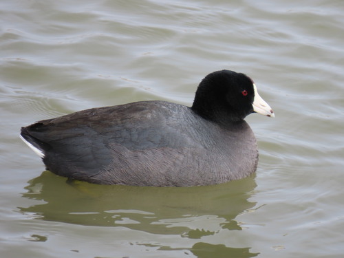
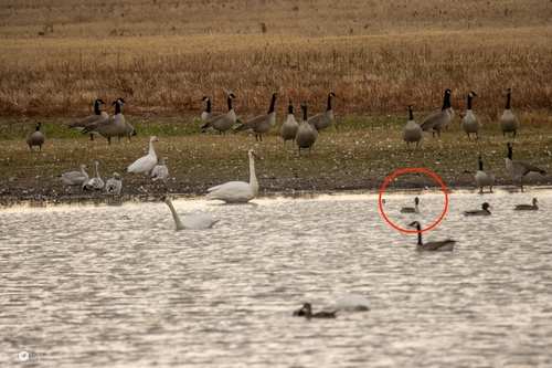
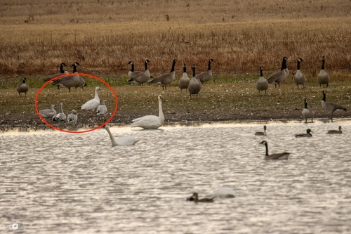
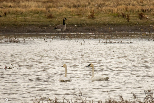
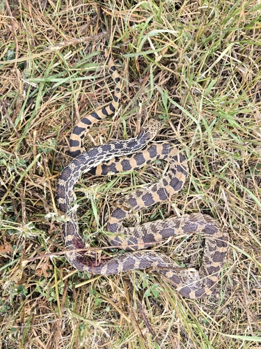
Research-grade observations from iNaturalist (within ~15 mi).
Events
Gallery
Official Identifiers
StatCan — Statistics Canada
- SGC code
- 4801009
- Population (Wikidata)
- 541
- Wikidata
- Q1743712
Standard Geographical Classification (SGC) via Wikidata P3012
Sources
- • Wikipedia
- • Wikidata
- • USGS Earthquake Catalog (global feed)
- • GBIF (Global Biodiversity Information Facility)
- • iNaturalist
- • Open-Meteo / sunrise-sunset.org
- • Wikipedia Pageviews API
- • Open Library
- • NASA EONET
- • StatCan — Statistics Canada — Standard Geographical Classification (SGC) via Wikidata P3012