Browse / United States / California / Forest Ranch
Forest Ranch
CaliforniaCDP

Forest Ranch
Total population
1,915
Median home value
$445,800
Bachelor's+
Median income
$131,650
Demographic figures from US Census Bureau · ACS 5-year estimates. Overview below cites Wikipedia and may reference a different year.
City facts
Facts from Wikidata (CC0).
Overview
Forest Ranch is an unincorporated community and census-designated place in Butte County, California, United States. It includes Forest Ranch Charter School (K-8), its own post office, and a CDF and Volunteer fire stations. The community's ZIP code is 95942, and is shared with the community of Butte Meadows. The area code is 530. Forest Ranch's population was 1,304 at the 2020 census.
Read more on WikipediaHistory & geography
History
Forest Ranch post office was opened in 1878, closed in 1926, and re-established in 1932, and moved several times in 1938 to its present location. The town once was the site of a lumber mill, established around 1873 and operated by Elias Findley. In the mid-1870s, Findley's residence was taken over by a Mr. and Mrs. Weld, who provided accommodations for teams and travelers on the Humboldt Wagon Road. In the 1890s, Forest Ranch had an active literary society and its school hosted regular performances and athletic events for the general community. The town is now mostly a bedroom community for nearby Chico.
Excerpted from the corresponding Wikipedia article (CC BY-SA).
Demographics & economy
Race & ethnicity
Source: US Census Bureau — American Community Survey, 5-year estimates.
Geography
Coordinates & boundaries from the US Census TIGER/Line shapefiles.
Climate
Current forecast
Forecast for Forest Ranch, CA from NOAA NWS API.
Air quality
Industrial & pollution facilities
Natural hazard risk
Health (adults)
Walkability
Amenities nearby
Wildlife & biodiversity
Schools
Earthquake history
Photos
Sights & places nearby
Notable people from here
Nearby places in California
Geography & sun
Elevation, sunrise/sunset and daylight from Open-Meteo. Solar climatology from NASA POWER.
Nearby airports
Public attention
Pageview totals from the Wikimedia Pageviews API.
Books about Forest Ranch
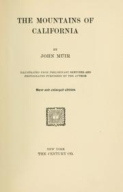
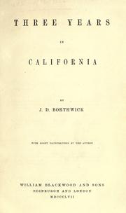
Search results from Open Library.
Recent natural events nearby
- Wildfire LUCAS, Lake, CaliforniaWildfires · 2026-09-10 · 84 mi
- Wildfire LUCAS, Lake, CaliforniaWildfires · 2026-09-10 · 84 mi
- Wildfire Bug, Lassen, CaliforniaWildfires · 2026-08-08 · 87 mi
- Wildfire FLORISTON, Nevada, CaliforniaWildfires · 2026-09-16 · 94 mi
- Wildfire Hawk, Washoe, NevadaWildfires · 2026-08-22 · 95 mi
- Wildfire Hawk, Washoe, NevadaWildfires · 2026-08-22 · 95 mi
- Wildfire Fred Mt, Washoe, NevadaWildfires · 2026-08-09 · 97 mi
- Wildfire FELIZ, Mendocino, CaliforniaWildfires · 2026-08-01 · 101 mi
Wildfires, storms and other events from NASA EONET (last 12 months, within 250 mi).
Ground air-quality sensors
Recently spotted species
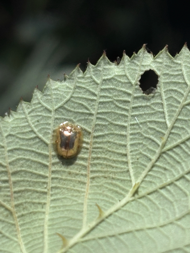
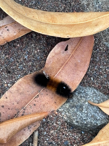
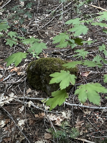
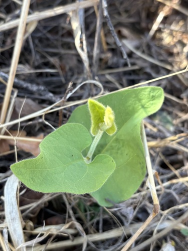
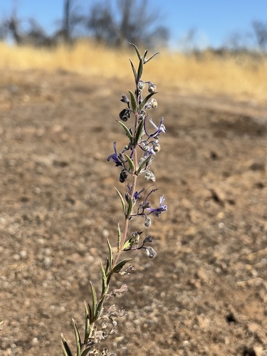
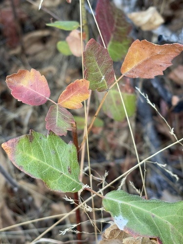
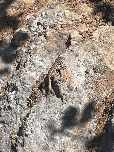
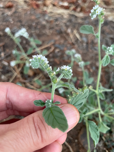
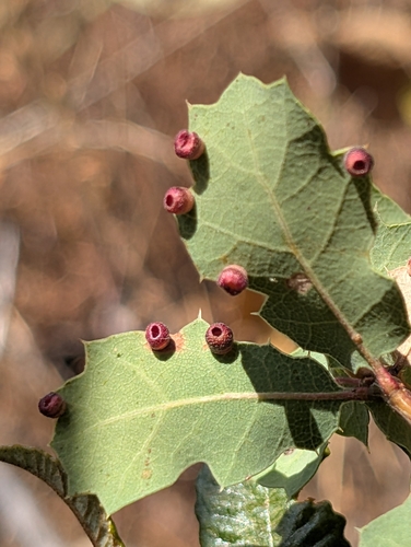
Research-grade observations from iNaturalist (within ~15 mi).
Nearest stream gauge
Events
Gallery
Sources
- • Wikipedia
- • US Census Bureau (ACS 5-year estimates)
- • NOAA National Weather Service
- • Wikidata
- • iNaturalist
- • Open-Meteo / sunrise-sunset.org
- • Wikipedia Pageviews API
- • Open Library
- • NASA EONET