Browse / Canada / Alberta / Fort Chipewyan
Fort Chipewyan
Albertatown

Fort Chipewyan
Total population
852
Founded
1788
Demographic figures from Statistics Canada. Overview below cites Wikipedia and may reference a different year.
City facts
Facts from Wikidata (CC0).
Overview
Fort Chipewyan, commonly referred to as Fort Chip, is an unincorporated hamlet in northern Alberta, Canada, within the Regional Municipality (RM) of Wood Buffalo. It is located on the northwest shore of Lake Athabasca, which flows into the Slave River, thence to the Mackenzie River and the Arctic Ocean. First built as fur trading post in the late 1700s, Fort Chipewyan is one of the oldest European settlements in the Province of Alberta.
Read more on WikipediaHistory & geography
History
Fort Chipewyan is one of the oldest European settlements in the Province of Alberta. It was one of Canada's important fur trading posts in the late 1700s and early 1800s, serving as a distribution and collection point for furs, goods and men trading in the Peace, Slave, Athabasca and Mackenzie river basins. It was established as a trading post of the North West Company in 1788. The first fur trading post in the area was the NWC's Pond House, or Pond's Fort on the Athabasca River, about from its mouth, established in 1778. Fort Chipewyan on the shore of Lake Athabasca was founded in 1788. It was built on a prominent peninsula, now known as Old Fort Point, on the south shore of Lake Athabasca, about to the east of the Athabasca River delta. It became one of the most famous in the whole extent of Rupert's Land. In 1798, the NWC's Fort Chipewyan was relocated to a site on the north shore, the site of today's hamlet. In 1802, the Hudson's Bay Company (HBC) set up a post, Nottingham House, on English Island at the mouth of Slave River, the outlet of Lake Athabasca. It was abandoned in 1806. From about 1815 to 1821 the HBC operated a competing Fort Wedderburn (named after Andrew Colvile's family) on Coal or Potato Island from the North West Company's fort. This fort was established by John Clarke. Sir George Simpson stayed here 1820–1821, during which time he reorganized the fur trade. Old Fort Point, the site of the first Fort Chipewyan, established in 1788 southeast of the present site of Fort Chipewyan, was designated a National Historic Site of Canada in 1930. Historic places in the community include the site of the third Fort Chipewyan, established in 1803, the Anglican Church built in 1880 and Day School built in 1874, and the Roman Catholic Mission Church…
Geography
It is located on the western tip of Lake Athabasca, adjacent to Wood Buffalo National Park, approximately north of Fort McMurray. Fort Chipewyan has a subarctic climate (Köppen Dfc) with long, very cold, dry winters and short, warm, wetter summers. The highest temperature ever recorded in Fort Chipewyan was on 30 June 2021. The coldest temperature ever recorded was on 1 February 1917.
Excerpted from the corresponding Wikipedia article (CC BY-SA).
Geography
Coordinates & boundaries from the US Census TIGER/Line shapefiles.
Climate
Air quality
Walkability
Amenities nearby
Wildlife & biodiversity
Most-observed species
- Common RavenCorvus corax Linnaeus, 1758 · Aves55
- MallardAnas platyrhynchos Linnaeus, 1758 · Aves23
- Ring-billed GullLarus delawarensis Ord, 1815 · Aves22
- Snow BuntingPlectrophenax nivalis (Linnaeus, 1758) · Aves19
- Black-capped ChickadeePoecile atricapillus (Linnaeus, 1766) · Aves17
- Pine GrosbeakPinicola enucleator (Linnaeus, 1758) · Aves17
- CanvasbackAythya valisineria (A.Wilson, 1814) · Aves13
- Black-billed MagpiePica hudsonia (Sabine, 1823) · Aves12
Citizen-science & research observations from the Global Biodiversity Information Facility (GBIF).
Earthquake history
Events from the USGS Earthquake Catalog (global) (FDSN Event Web Service).
Photos
Sights & places nearby
Notable people from here


People born within ~10 km, from Wikidata (CC0). Click any name for their Wikipedia article.
Nearby places in Alberta
- Chipewyan Camp - 201C21.4 mi away
- Fitzgerald80.6 mi away · pop. 9
- Gardiner Camp97.3 mi away
- Garden River97.7 mi away · pop. 706
- Clearwater Camp143.4 mi away
- North Tallcree168.1 mi away · pop. 225
- Janvier South198.5 mi away · pop. 100
- Wabasca-Desmarais214.6 mi away
- Amesbury256.2 mi away
- Marten Beach Subdivision263.1 mi away
- Canyon Creek274.4 mi away
- Deep Creek Hutterite Colony275.6 mi away
Geography & sun
Elevation, sunrise/sunset and daylight from Open-Meteo. Solar climatology from NASA POWER.
Nearby airports
Public attention
Pageview totals from the Wikimedia Pageviews API.
Books about Fort Chipewyan


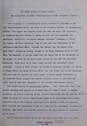

Search results from Open Library.
Recent natural events nearby
Ground air-quality sensors
Recently spotted species
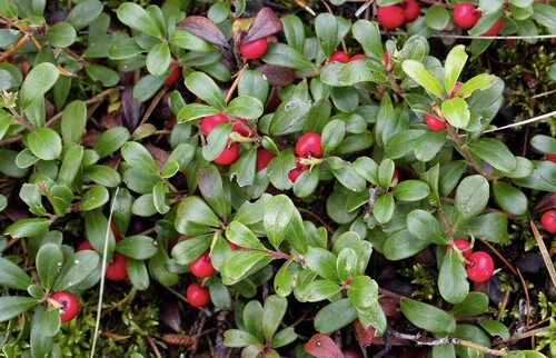
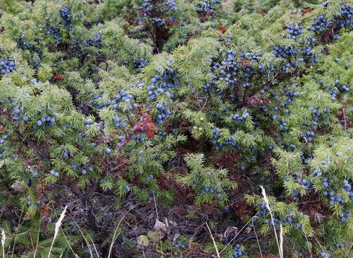
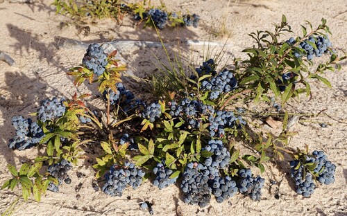
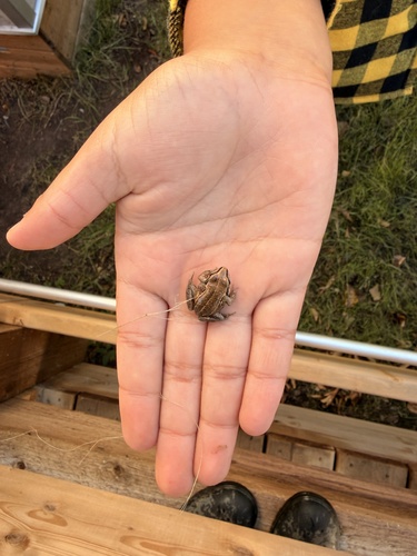
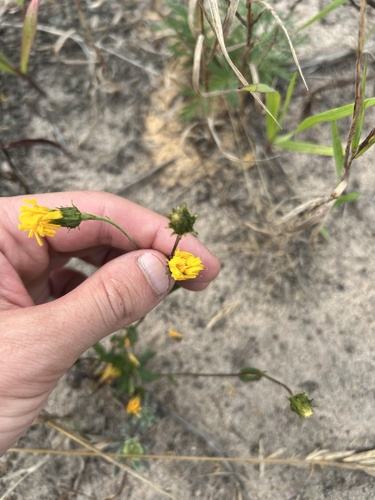
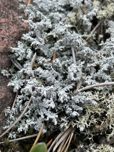
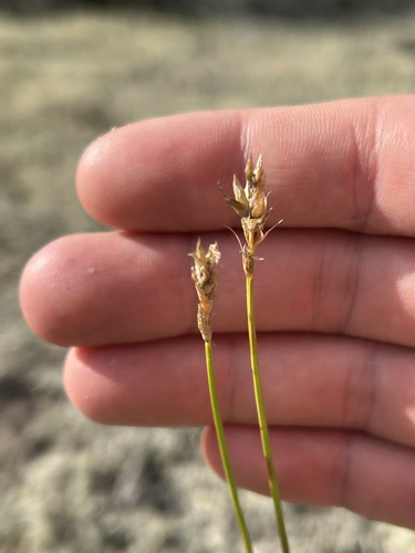
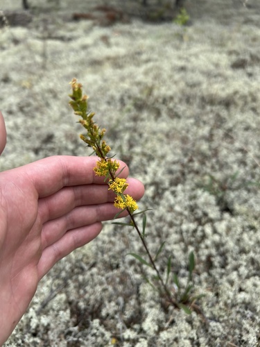
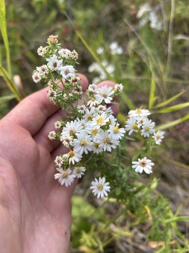
Research-grade observations from iNaturalist (within ~15 mi).
Events
Gallery
Sources
- • Wikipedia
- • Wikidata
- • USGS Earthquake Catalog (global feed)
- • GBIF (Global Biodiversity Information Facility)
- • iNaturalist
- • Open-Meteo / sunrise-sunset.org
- • Wikipedia Pageviews API
- • Open Library