Browse / Canada / British Columbia / Fort Rupert
Fort Rupert
British Columbiavillage

Featured view
Fort Rupert
Coordinates50.69°, -127.41°
Demographic figures from Statistics Canada. Overview below cites Wikipedia and may reference a different year.
Loading additional data from public sources…0 / 11
CensusWikipediaWeatherPlacesPeopleEnvironmentHealth & SchoolsRelatedGeography & CultureLive MonitoringEvents & Gallery
0% completeCity facts
Overview
Fort Rupert is the site of a former Hudson's Bay Company (HBC) fort on the east coast near the northern tip of Vancouver Island, British Columbia. The unincorporated community on Beaver Harbour is about 11 kilometres (7 mi) by road southeast of Port Hardy.
Read more on WikipediaHistory & geography
Geography
Latitude
50.6947
Longitude
-127.4094
Water area
—
Coordinates & boundaries from the US Census TIGER/Line shapefiles.
Climate
Air quality
Walkability
Amenities nearby
Wildlife & biodiversity
Earthquake history
Photos
Sights & places nearby
Notable people from here
Geography & sun
Avg solar (kWh/m²/day)
2.97
Annual solar (kWh/m²)
1,082
Elevation, sunrise/sunset and daylight from Open-Meteo. Solar climatology from NASA POWER.
Nearby airports
Public attention
Wikipedia views (last 30 days)
359
Avg daily Wikipedia views
12
Attention level
Obscure
Pageview totals from the Wikimedia Pageviews API.
Books about this place
Recent natural events nearby
Ground air-quality sensors
Recently spotted species
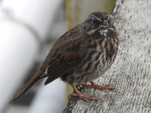
Song Sparrow
Melospiza melodia
Seen 2026-09-25
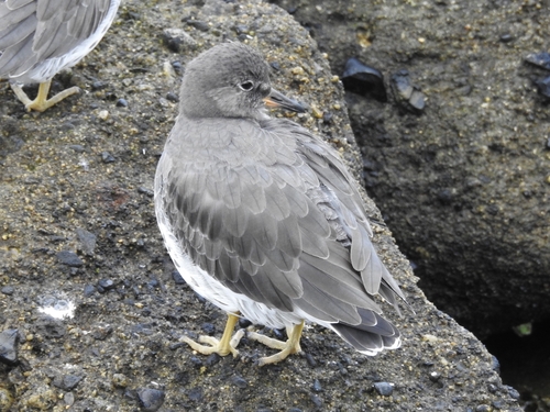
Surfbird
Calidris virgata
Seen 2026-09-25
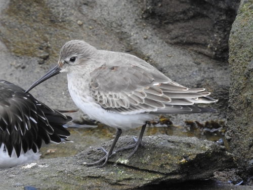
Dunlin
Calidris alpina
Seen 2026-09-25
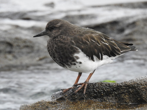
Black Turnstone
Arenaria melanocephala
Seen 2026-09-25
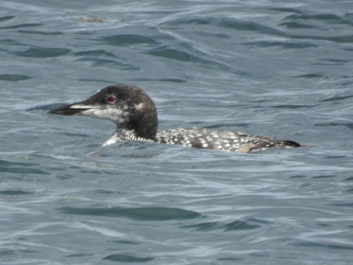
Common Loon
Gavia immer
Seen 2026-09-25
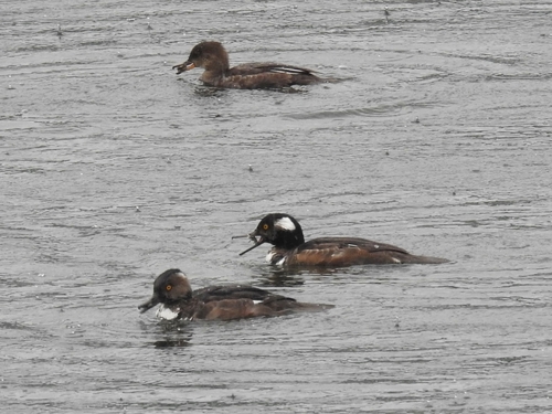
Hooded Merganser
Lophodytes cucullatus
Seen 2026-09-22
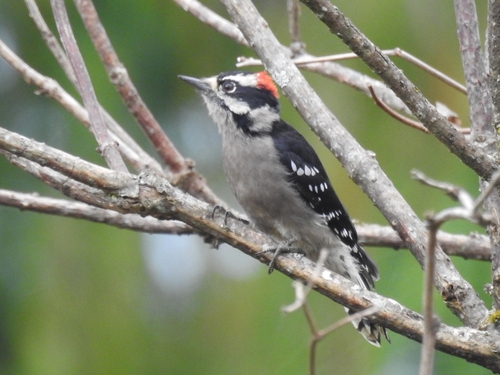
Downy Woodpecker
Dryobates pubescens
Seen 2026-09-22
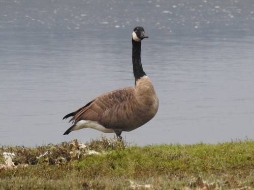
Canada Goose
Branta canadensis
Seen 2026-09-22
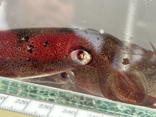
Opalescent Inshore Squid
Doryteuthis opalescens
Seen 2026-09-21
Research-grade observations from iNaturalist (within ~15 mi).
Events
Gallery
Sources
- • Wikipedia
- • iNaturalist
- • Open-Meteo / sunrise-sunset.org
- • Wikipedia Pageviews API