Browse / Canada / Saskatchewan / Four Corners
Four Corners
Saskatchewanhamlet
Demographic figures from Statistics Canada. Overview below cites Wikipedia and may reference a different year.
City facts
Overview
Four Corners is a hamlet that lies in Saskatchewan, Canada. On the world map it falls within the Western Hemisphere, specifically at 54.180°, -108.628°. Detailed population figures are not currently catalogued in the open data sources we track. Climatically, locations at this latitude tend to experience long cool seasons and short, mild summers. Open solar datasets indicate about 1,192 kWh/m² of solar irradiance per year, combined with sunshine for roughly 47% of daylight hours. The remainder of this page draws on open public data to describe the area's demographics, climate, environment and nearby amenities.
Summary composed automatically from structured open data on this page. See our Terms for details.
History & geography
History
The United States acquired the Four Corners region from Mexico after the end of the Mexican–American War in 1848. In 1863 Congress created the Arizona Territory from the western part of New Mexico Territory. The boundary was legally defined as a line running due south from the southwest corner of Colorado Territory, which had been created in 1861. This was an unusual act of Congress, which almost always defined the boundaries of new territories as lines of latitude or longitude, or following rivers, but seldom as extensions of other boundaries. By defining one boundary as starting at the corner of another, Congress ensured the eventual creation of four states meeting at a point, regardless of the inevitable errors of boundary surveying. The area was first surveyed by the US Government in 1868 as part of an effort to make Colorado Territory into a state, the first of the Four Corners states formed. While the US Congress in 1863 intended the corners of Colorado to be placed at the intersections of lines of specific latitude and longitude, due to a "standard" survey error of the time, the originally surveyed location of the "Four Corners" point, along with the corresponding survey marker, was unintentionally placed by its initial surveyor east of the intended location. This initial survey error has resulted in some longstanding misunderstandings about the correct location of the Four Corners marker, some of which remain to this day. The first Navajo tribal government was established in 1923 to regulate an increasing number of oil exploration activities on Navajo land in the Four Corners area.
Geography
The Four Corners Monument is located at . The Four Corners is part of the high Colorado Plateau. This makes it a center for weather systems, which stabilize on the plateau then proceed eastward through Colorado and into the central states. This weather system creates snow- and rainfall over the central United States. Federally protected areas in the Four Corners area include Canyon de Chelly National Monument, Hovenweep National Monument, Mesa Verde National Park, and Canyons of the Ancients National Monument. Mountain Ranges in the Four Corners include Sleeping Ute Mountains, Abajo Mountains, and the Chuska Mountains.
Excerpted from the corresponding Wikipedia article (CC BY-SA).
Geography
Coordinates & boundaries from the US Census TIGER/Line shapefiles.
Climate
Air quality
Walkability
Amenities nearby
Wildlife & biodiversity
Earthquake history
Photos
Sights & places nearby
Notable people from here
Nearby places in Saskatchewan
- Big River75 mi away · pop. 1,140
- Sturgeon Lake116.1 mi away
- Kamienna Wola4578.1 mi away · pop. 330
- Bernów4578.8 mi away · pop. 160
- Maleniec4581.1 mi away · pop. 150
- Fałków4582.4 mi away · pop. 1,100
- Wyszyna Machorowska4582.6 mi away · pop. 110
- Komaszyce4583.2 mi away · pop. 180
- Drutarnia4585.8 mi away
- Stara Kuźnica4586.3 mi away · pop. 140
- Boków4586.8 mi away · pop. 160
- Górny Młyn4587.3 mi away
Geography & sun
Elevation, sunrise/sunset and daylight from Open-Meteo. Solar climatology from NASA POWER.
Nearby airports
Public attention
Pageview totals from the Wikimedia Pageviews API.
Books about this place
Recent natural events nearby
Ground air-quality sensors
Recently spotted species
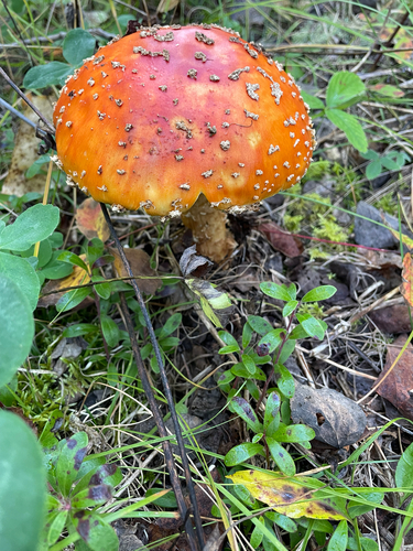
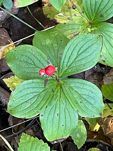
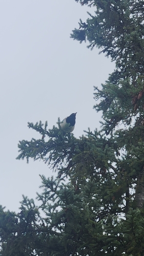
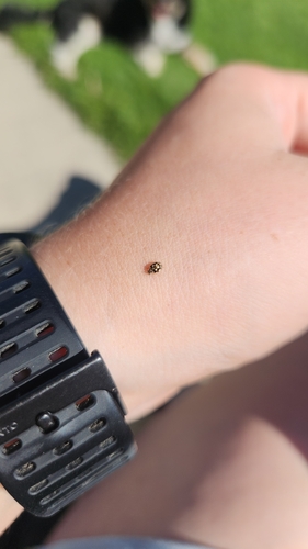
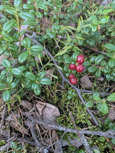
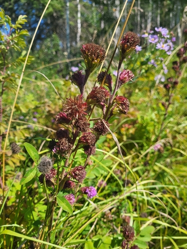
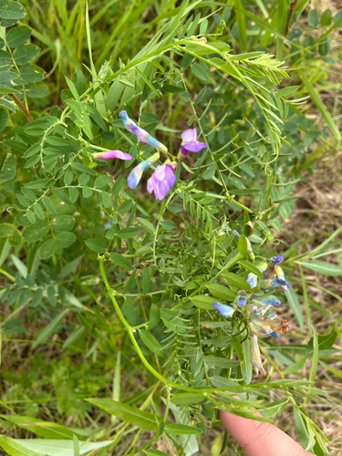
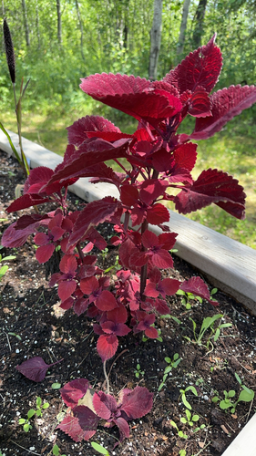
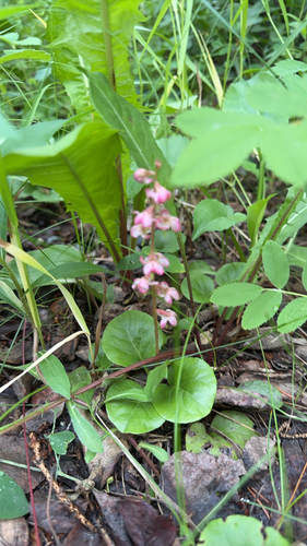
Research-grade observations from iNaturalist (within ~15 mi).
Events
Gallery
Sources
- • Wikipedia
- • Wikidata
- • iNaturalist
- • Open-Meteo / sunrise-sunset.org
- • Wikipedia Pageviews API