Browse / Canada / Prince Edward Island / Fredericton
Fredericton
Prince Edward Islandcity

Fredericton
Total population
63,116
Founded
1785
Demographic figures from Statistics Canada. Overview below cites Wikipedia and may reference a different year.
City facts
Sister cities
Facts from Wikidata (CC0).
Overview
Fredericton is the capital city of the Canadian province of New Brunswick. The city is situated in the west-central portion of the province along the Saint John River, also known by its Indigenous name of Wolastoq, which flows west to east as it bisects the city. The river is the dominant natural feature of the area. One of the main urban centres in New Brunswick, as of 2026, according to the city's update on building development, it has a population of approximately 79,000 with the metropolitan population in 2025 estimated at 125,303. It is the third-largest city in the province, after Moncton and Saint John.
History & geography
History
There is archaeological evidence of a camp in the area 12,000 years ago, and the Wolastoqiyik farmed several kilometres upriver. Colonists from the Kingdom of France in the late 1600s built Fort Nashwaak on the north side of the Saint John River, as the capital of Acadia. It withstood a British attack in 1696, but the capital was later moved to Port Royal (Annapolis Royal). In 1713, Acadians escaping the British takeover of Nova Scotia settled the site, naming it Pointe Ste-Anne. It was destroyed in 1758 when the population of about 83 were exiled during the expulsion of the Acadians. It was in 1783, when United Empire Loyalists arrived from New England, that the history of modern Fredericton began. The following year, New Brunswick was partitioned from Nova Scotia and became its own colony. Pointe-Ste-Anne was renamed "Fredericstown", after Frederick, second son of King George III. It became the capital of the new colony, being considered to have a better defensive position than larger Saint John. It was a British garrison town from 1784 to 1869, and the military compound is preserved as a National Historic Site of Canada. With the New Brunswick Equal Opportunity program in the 1960s, county councils were abolished, and government services were centralized provincially in Fredericton, increasing jobs and population. On 1 January 2023, Fredericton annexed parts of five local service districts;
Geography
The Saint John River runs through Fredericton. The city's downtown core lies on the flat low-lying ground on either side of the river, with most of the city's post-war suburban development occurring on the gently sloping hills of the river valley. At an altitude of about above sea level, Fredericton is nestled in the Pennsylvanian Basin. It differs markedly from the geologically older parts of the province. There are prominently two distinct areas in the region that are divided around the area of Wilsey Road, in the east end of the city. In the west side, the bedrock underneath the earth is topographically dominant, whereas the other is controlled by Pleistocene and recent deposits leading to the rivers (resulting in the area being shallow and wide). Fredericton and its surroundings are rich in water resources, which, coupled with highly arable soil, make the Fredericton region ideal for agriculture. The Saint John River and one of its major tributaries, the Nashwaak River, come together in Fredericton. The uninhabited parts of the city are heavily forested. === Climate ===
Excerpted from the corresponding Wikipedia article (CC BY-SA).
Geography
Coordinates & boundaries from the US Census TIGER/Line shapefiles.
Climate
Air quality
Walkability
Amenities nearby
Wildlife & biodiversity
Earthquake history
Photos
Sights & places nearby
Notable people from here


People born within ~10 km, from Wikidata (CC0). Click any name for their Wikipedia article.
Geography & sun
Elevation, sunrise/sunset and daylight from Open-Meteo. Solar climatology from NASA POWER.
Nearby airports
Public attention
Pageview totals from the Wikimedia Pageviews API.
Books about Fredericton


Search results from Open Library.
Recent natural events nearby
Ground air-quality sensors
Recently spotted species
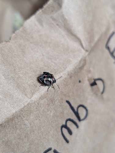
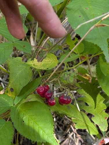
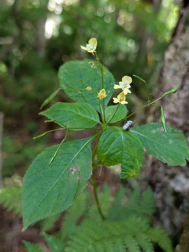
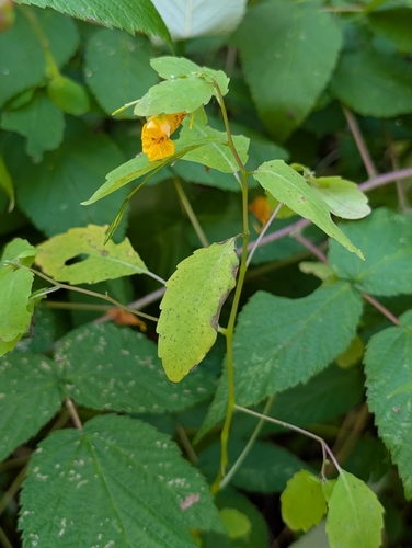

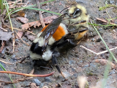
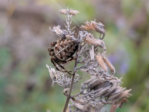
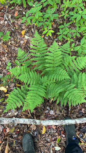
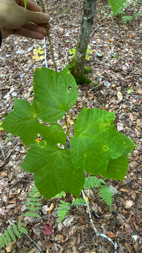
Research-grade observations from iNaturalist (within ~15 mi).
Events
Gallery
Official Identifiers
StatCan — Statistics Canada
- SGC code
- 1310032
- Population (Wikidata)
- 63,116
- Wikidata
- Q2138
Standard Geographical Classification (SGC) via Wikidata P3012
Sources
- • Wikipedia
- • Wikidata
- • iNaturalist
- • Open-Meteo / sunrise-sunset.org
- • Wikipedia Pageviews API
- • Open Library
- • StatCan — Statistics Canada — Standard Geographical Classification (SGC) via Wikidata P3012