Browse / United States / California / French Gulch
French Gulch
CaliforniaCDP

French Gulch
Total population
154
Median home value
$0
Bachelor's+
Median income
$34,375
Demographic figures from US Census Bureau · ACS 5-year estimates. Overview below cites Wikipedia and may reference a different year.
City facts
Facts from Wikidata (CC0).
Overview
French Gulch is a census-designated place (CDP) in Shasta County, California, United States. Its population is 373 as of the 2020 census, up from 346 from the 2010 census.
Read more on WikipediaHistory & geography
History
French Gulch was founded by French miners in 1849 and became one of California's major gold producing areas. The town became a major supply place when it became the terminus of the western branch of the California Trail. French Gulch was registered as a California Historical Landmark in 1935. French Gulch was an important, early, hard rock mining district. The Washington vein system was discovered in 1852, and was worked periodically through about 1914. It is estimated to have produced about 100,000 ounces of gold. The Niagara Mine is estimated to have produced about 50,000 ounces from its past operations. As of 2008, limited production has resumed from the Washington and Niagara mines. On August 14, 2004, the entire town of French Gulch was evacuated due to a forest fire which roared out of control through much of Shasta County. The fire burned 13,005 acres and destroyed 26 residences, 1 commercial building, and 76 outbuildings. The evacuation lasted 3 days, allowing residents to return home on August 17, 2004. A total of 1,345 fire personnel helped get the blaze under control. The cause was never determined. On July 22, 2018, French Gulch was evacuated due to the Carr Fire, which was started by a motor vehicle malfunction. As of August 2, air and ground crews continued to work in the area to protect the town from the fire, and many of the buildings, including the historic hotel, were still standing. On August 8, the evacuation order for French Gulch and surrounding areas was lifted, and residents were allowed to return to their homes.
Geography
French Gulch is located at (40.705313, -122.635174). Lying a few miles northwest of Whiskeytown Lake, the hamlet lies along Trinity Mountain Road going north from California State Route 299, with the town center approximately three miles north of 299, and about 19 highway-miles from downtown Redding. According to the United States Census Bureau, the CDP has a total area of , of which 99.70% is land and 0.30% is water.
Excerpted from the corresponding Wikipedia article (CC BY-SA).
Demographics & economy
Race & ethnicity
Source: US Census Bureau — American Community Survey, 5-year estimates.
Geography
Coordinates & boundaries from the US Census TIGER/Line shapefiles.
Climate
Current forecast
Forecast for French Gulch, CA from NOAA NWS API.
Air quality
Industrial & pollution facilities
Natural hazard risk
Health (adults)
Age-adjusted prevalence estimates from CDC PLACES (latest release).
Walkability
Amenities nearby
Wildlife & biodiversity
Schools
Largest nearby schools
- French Gulch-Whiskeytown ElementaryElementary · French Gulch · 18 students · 9:1 ratio
Public K–12 schools within ~10 mi from Urban Institute Education Data Portal (NCES Common Core of Data, 2022).
Earthquake history
Most recent
- M 3.67 — 2026-09-0736 km E of Hydesville, CA
- M 2.55 — 2026-08-1828 km NW of Weaverville, CA
- M 2.54 — 2026-08-119 km E of Rancho Tehama Reserve, CA
- M 2.7 — 2026-08-064 km SSE of Anderson, CA
- M 2.57 — 2026-07-1711 km ESE of Burney, CA
- M 2.64 — 2026-07-1630 km ESE of Somes Bar, CA
Events from the USGS Earthquake Catalog (global) (FDSN Event Web Service).
Photos
Sights & places nearby
Notable people from here

People born within ~10 km, from Wikidata (CC0). Click any name for their Wikipedia article.
Nearby places in California
- Mountain Gate15.9 mi away
- Douglas City16.4 mi away · pop. 1,060
- Ono16.6 mi away
- Bella Vista20.1 mi away · pop. 4,511
- Happy Valley20.7 mi away · pop. 5,944
- Palo Cedro22.8 mi away
- Hayfork27.7 mi away · pop. 2,537
- Platina28.7 mi away
- Oak Run31.7 mi away
- Post Mountain37.9 mi away
- Montgomery Creek38.1 mi away
- Dunsmuir40.1 mi away · pop. 1,407
Geography & sun
Elevation, sunrise/sunset and daylight from Open-Meteo. Solar climatology from NASA POWER.
Nearby airports
Public attention
Pageview totals from the Wikimedia Pageviews API.
Books about French Gulch


Search results from Open Library.
Recent natural events nearby
- Wildfire MP18, Humboldt, CaliforniaWildfires · 2026-08-07 · 62 mi
- Wildfire LUCAS, Lake, CaliforniaWildfires · 2026-09-10 · 105 mi
- Wildfire LUCAS, Lake, CaliforniaWildfires · 2026-09-10 · 105 mi
- Wildfire Fielder Mtn, Jackson, OregonWildfires · 2026-08-13 · 121 mi
- Wildfire FELIZ, Mendocino, CaliforniaWildfires · 2026-08-01 · 123 mi
- Wildfire Wrights Spring, Klamath, OregonWildfires · 2026-08-05 · 130 mi
- Wildfire Bug, Lassen, CaliforniaWildfires · 2026-08-08 · 153 mi
- Wildfire Fred Mt, Washoe, NevadaWildfires · 2026-08-09 · 161 mi
Wildfires, storms and other events from NASA EONET (last 12 months, within 250 mi).
Ground air-quality sensors
Recently spotted species
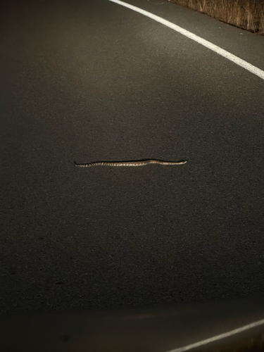
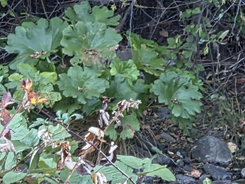
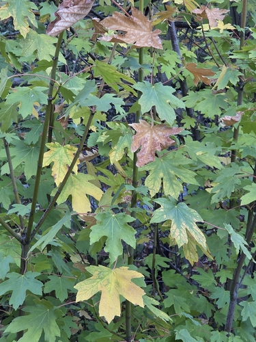
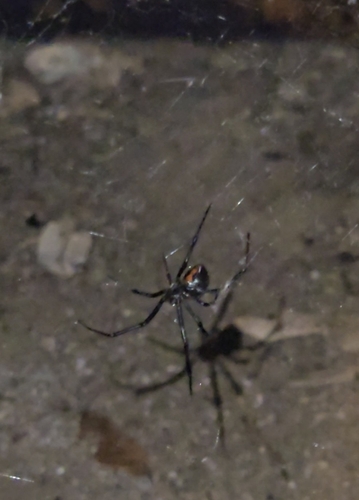
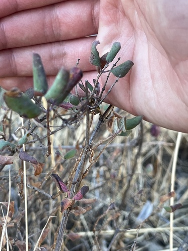
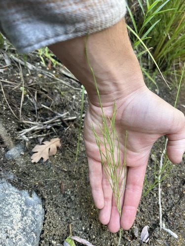
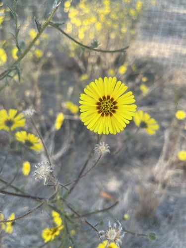
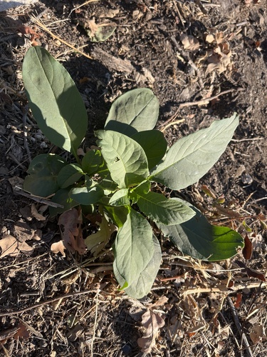
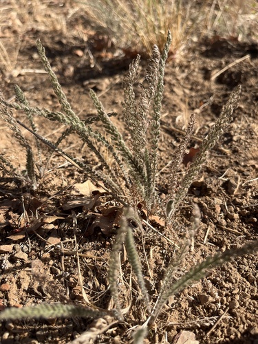
Research-grade observations from iNaturalist (within ~15 mi).
Nearest stream gauge
Live readings from USGS NWIS · measured 2026-10-01 17:15 UTC.
Events
Gallery
Sources
- • Wikipedia
- • US Census Bureau (ACS 5-year estimates)
- • NOAA National Weather Service
- • Wikidata
- • USGS Earthquake Catalog (global feed)
- • USGS NWIS (water data)
- • NCES via Urban Institute Education Data Portal
- • iNaturalist
- • CDC PLACES
- • Open-Meteo / sunrise-sunset.org
- • Wikipedia Pageviews API
- • Open Library
- • NASA EONET