Browse / Canada / British Columbia / Furry Creek
Furry Creek
British Columbiavillage

Furry Creek
Air quality index
Demographic figures from Statistics Canada. Overview below cites Wikipedia and may reference a different year.
City facts
Overview
Furry Creek is a community in the Canadian province of British Columbia, located on Howe Sound in the Squamish-Lillooet Regional District, north of Vancouver and south of Squamish.
Read more on WikipediaHistory & geography
History
The creek was named in the 1870s after early prospector and settler Oliver Furry. Loggers worked the slopes, and a two adits from the Britannia Creek mine opened into Furry Creek where logging camp supplied timbers for mine shoring in the early 1900s. Dams on Phyllis and Marion Lake and Furry Creek redirected water from Furry Creek to the Britannia mine for power generation. Later in the century a gravel pit operated in the area. Cabins and borstal at nearby Porteau Cove made the area sparsely populated for many years, with some camping and little other activity except for the highway and railroad that cut through the bottom of the watershed.
Excerpted from the corresponding Wikipedia article (CC BY-SA).
Geography
Coordinates & boundaries from the US Census TIGER/Line shapefiles.
Climate
Air quality
Current readings from Open-Meteo Air Quality API (Copernicus CAMS European reanalysis).
Walkability
Amenities nearby
Wildlife & biodiversity
Most-observed species
- Glaucous-winged GullLarus glaucescens J.F.Naumann, 1840 · Aves3,397
- American RobinTurdus migratorius Linnaeus, 1766 · Aves3,201
- American CrowCorvus brachyrhynchos C.L.Brehm, 1822 · Aves3,156
- Spotted TowheePipilo maculatus Swainson, 1827 · Aves3,119
- Song SparrowMelospiza melodia (A.Wilson, 1810) · Aves3,080
- Common RavenCorvus corax Linnaeus, 1758 · Aves2,973
- Canada Goose (canadensis Group)Branta canadensis (Linnaeus, 1758) · Aves2,570
- Great Blue/Cocoi HeronArdea herodias Linnaeus, 1758 · Aves2,388
Citizen-science & research observations from the Global Biodiversity Information Facility (GBIF).
Earthquake history
Most recent
- M 2.56 — 2026-05-297 km ENE of Ferndale, Washington
- M 2.7 — 2025-10-2110 km SE of Salt Spring Island, Canada
- M 2.8 — 2025-04-0520 km ENE of South Pender Harbour, Canada
- M 4.8 — 2025-02-2128 km W of Squamish, Canada
- M 3.6 — 2024-10-0422 km NNE of Ganges, Canada
- M 2.8 — 2024-09-1235 km NE of South Pender Harbour, Canada
Events from the USGS Earthquake Catalog (global) (FDSN Event Web Service).
Photos
Sights & places nearby
Notable people from here
People born within ~10 km, from Wikidata (CC0). Click any name for their Wikipedia article.
Nearby places in British Columbia
Geography & sun
Elevation, sunrise/sunset and daylight from Open-Meteo. Solar climatology from NASA POWER.
Nearby airports
Public attention
Pageview totals from the Wikimedia Pageviews API.
Books about Furry Creek
Search results from Open Library.
Recent natural events nearby
- CHESTNUT Wildfire, Chelan, WashingtonWildfires · 2026-06-06 · 191 mi
- Omak Lake Road Wildfire, Okanogan, WashingtonWildfires · 2026-06-16 · 195 mi
- Kartar Wildfire, Okanogan, WashingtonWildfires · 2026-06-16 · 197 mi
Wildfires, storms and other events from NASA EONET (last 12 months, within 250 mi).
Ground air-quality sensors
Recently spotted species
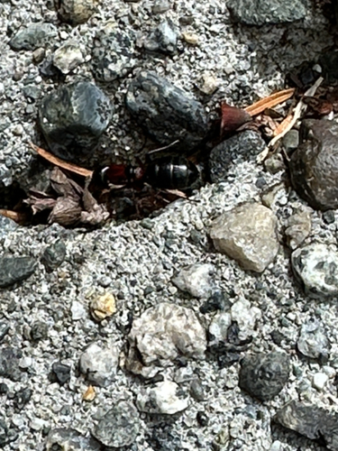
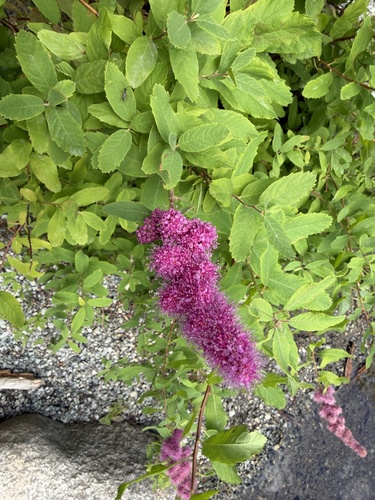
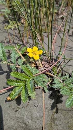
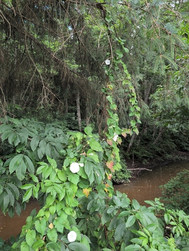
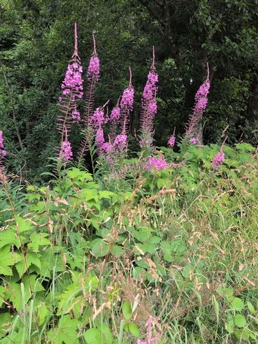
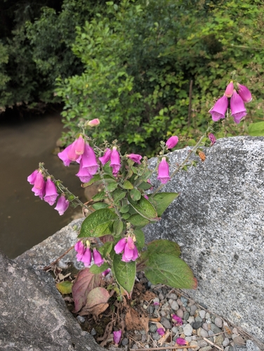
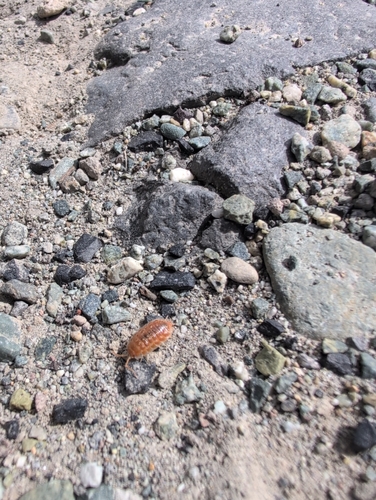
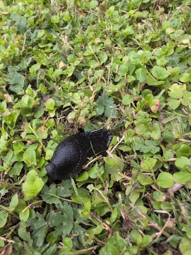
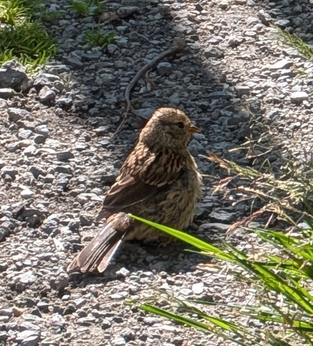
Research-grade observations from iNaturalist (within ~15 mi).
Events
Gallery
Sources
- • Wikipedia
- • Wikidata
- • Open-Meteo Air Quality (CAMS)
- • USGS Earthquake Catalog (global feed)
- • GBIF (Global Biodiversity Information Facility)
- • iNaturalist
- • Open-Meteo / sunrise-sunset.org
- • Wikipedia Pageviews API
- • Open Library
- • NASA EONET