Browse / Canada / British Columbia / Gang Ranch
Gang Ranch
British Columbiahamlet

Gang Ranch
Demographic figures from Statistics Canada. Overview below cites Wikipedia and may reference a different year.
City facts
Overview
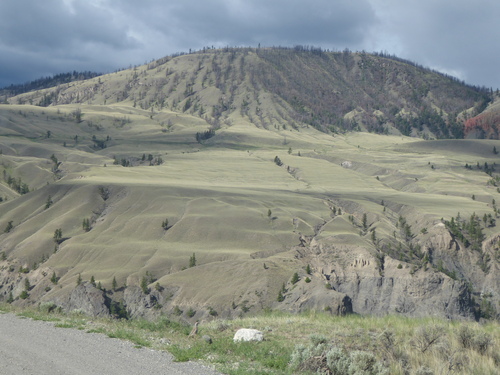
The Gang Ranch is a cattle ranching operation in the Cariboo-Chilcotin region of the Canadian province of British Columbia. Established in 1863 by two brothers, Jerome and Thaddeus Harper, the ranch was the largest ranch and largest private landholding in the province for many years. It is located to the west of the Fraser River, south of the city of Williams Lake.
Read more on WikipediaHistory & geography
History
The Harper brothers left Tucker County, West Virginia, in 1840, after losing their family farm to foreclosure. After working as freight haulers and cattle drivers in the midwest and Montana, the brothers were drawn to California by the 1849 gold rush. The brothers moved north, and by 1854, they had entered British North America and the future colony of British Columbia. They established a sawmill near Yale in 1859. The Gang Ranch would eventually also operate several other smaller holdings in the region, including ranches near Jesmond, 59 Mile House, and a feedlot in the Lower Mainland city of New Westminster. At its height, the ranch had 8000 to 10000 head of cattle. In 2022, the Douglas Lake Cattle Company purchased the ranch.
Excerpted from the corresponding Wikipedia article (CC BY-SA).
Geography
Coordinates & boundaries from the US Census TIGER/Line shapefiles.
Climate
Air quality
Walkability
Amenities nearby
Wildlife & biodiversity
Earthquake history
Photos
Sights & places nearby
Notable people from here

People born within ~10 km, from Wikidata (CC0). Click any name for their Wikipedia article.
Nearby places in British Columbia
Geography & sun
Elevation, sunrise/sunset and daylight from Open-Meteo. Solar climatology from NASA POWER.
Nearby airports
Public attention
Pageview totals from the Wikimedia Pageviews API.
Books about Gang Ranch


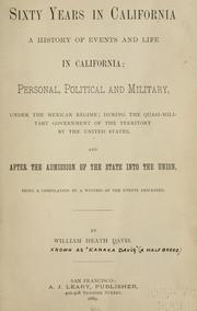
Search results from Open Library.
Recent natural events nearby
- Wildfire Electric, Whatcom, WashingtonWildfires · 2026-08-22 · 204 mi
- Wildfire Thunder Creek, Skagit, WashingtonWildfires · 2026-08-22 · 215 mi
- Wildfire SISI, Chelan, WashingtonWildfires · 2026-08-14 · 231 mi
Wildfires, storms and other events from NASA EONET (last 12 months, within 250 mi).
Ground air-quality sensors
Recently spotted species
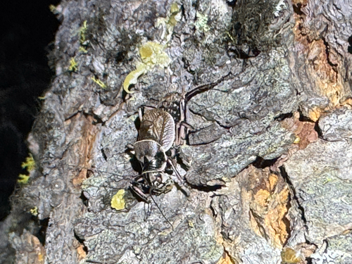
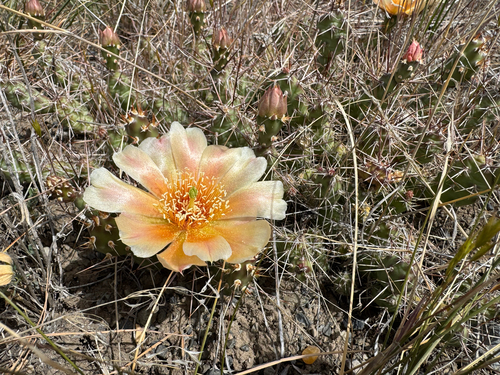
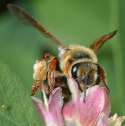
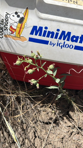
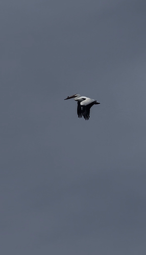
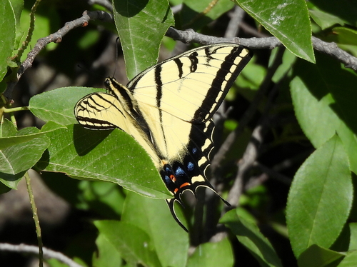
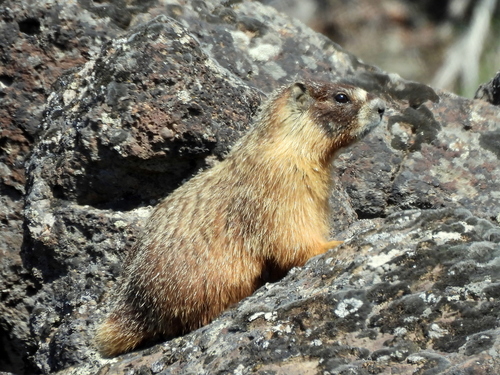
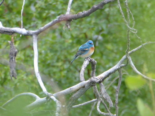
Research-grade observations from iNaturalist (within ~15 mi).
Events
Gallery
Sources
- • Wikipedia
- • Wikidata
- • iNaturalist
- • Open-Meteo / sunrise-sunset.org
- • Wikipedia Pageviews API
- • Open Library
- • NASA EONET