Browse / United States / California / Georgetown
Georgetown
CaliforniaCDP

Georgetown
Total population
2,403
Median home value
$374,600
Bachelor's+
Median income
$91,765
Demographic figures from US Census Bureau · ACS 5-year estimates. Overview below cites Wikipedia and may reference a different year.
- Heat Advisory · ModerateHeat Advisory issued October 1 at 9:34AM PDT until October 5 at 10:00PM PDT by NWS Sacramento CA
Source: NOAA National Weather Service.
City facts
Facts from Wikidata (CC0).
Overview
Georgetown is a census-designated place (CDP) in El Dorado County, California, United States. It is the northeasternmost town in the California Mother Lode. The population was 2,255 in the 2020 census, 2,367 in 2010, and 962 in 2000. The town is registered as California Historical Landmark #484.
Read more on WikipediaHistory & geography
History
Founded August 7, 1849, by George Phipps and party, Georgetown was nicknamed "Growlersburg" due to the heavy, gold-laden quartz rocks that "growled" in the miners' pants as they walked around town. Georgetown is named for George Washington. The first post office was established in 1851. After a disastrous fire in 1852, the old town was moved from the canyon in lower Main Street to its present site, and, unique in early-day planning, Main Street was laid out wide, with side streets . After this new reconstruction, the residents of the city proclaimed their town as the "Pride of the Mountains". The hub of an immensely rich gold mining area, Georgetown had a population of about three thousand from 1854 to 1856. As a gold rush camp, the community outlasted many other towns, because the gold found nearby was solid primary deposits, as opposed to placer deposits. Gold production continued until after the turn of the 20th century.
Geography
According to the United States Census Bureau, the CDP has a total area of , of which over 99% is land. For the 2000 census, the CDP's area was smaller. It had a total area of , of which was land and 0.24% was water. According to the Köppen climate classification system, Georgetown has a warm-summer Mediterranean climate, abbreviated "Csa" on climate maps. Due to orographic lifting, Georgetown gets about four times the amount of precipitation as the western valley locations. A small amount of it falls as snow that melts quickly due to the above freezing temperatures, but for no more than four inches a year. The high precipitation allows for vegetation to flourish, but when a lot of it becomes dry during the hot and dry summers, wildfires become a prominent risk.
Excerpted from the corresponding Wikipedia article (CC BY-SA).
Demographics & economy
Race & ethnicity
Source: US Census Bureau — American Community Survey, 5-year estimates.
Geography
Coordinates & boundaries from the US Census TIGER/Line shapefiles.
Climate
Current forecast
Forecast for Georgetown, CA from NOAA NWS API.
Air quality
Industrial & pollution facilities
Natural hazard risk
Health (adults)
Age-adjusted prevalence estimates from CDC PLACES (latest release).
Walkability
Amenities nearby
Wildlife & biodiversity
Schools
Largest nearby schools
- Golden Sierra Junior Senior HighHigh · Garden Valley · 488 students · 18.8:1 ratio
- Georgetown ElementaryElementary · Georgetown · 251 students · 22.8:1 ratio
- American River CharterOther · Georgetown · 228 students · 28.5:1 ratio
- Otter Creek ElementaryElementary · Georgetown · 15 students
- Divide HighHigh · Georgetown · 14 students
Public K–12 schools within ~10 mi from Urban Institute Education Data Portal (NCES Common Core of Data, 2022).
Earthquake history
Photos
Sights & places nearby
Notable people from here
Nearby places in California
Geography & sun
Elevation, sunrise/sunset and daylight from Open-Meteo. Solar climatology from NASA POWER.
Nearby airports
Public attention
Pageview totals from the Wikimedia Pageviews API.
Books about Georgetown

Search results from Open Library.
Recent natural events nearby
- Wildfire FLORISTON, Nevada, CaliforniaWildfires · 2026-09-16 · 55 mi
- Wildfire GANN, Calaveras, CaliforniaWildfires · 2026-08-03 · 55 mi
- Wildfire Hawk, Washoe, NevadaWildfires · 2026-08-22 · 64 mi
- Wildfire Hawk, Washoe, NevadaWildfires · 2026-08-22 · 64 mi
- Wildfire Bug, Lassen, CaliforniaWildfires · 2026-08-08 · 71 mi
- Wildfire Fred Mt, Washoe, NevadaWildfires · 2026-08-09 · 79 mi
- Wildfire Stallion, Washoe, NevadaWildfires · 2026-08-10 · 94 mi
- Wildfire DOME, Mariposa, CaliforniaWildfires · 2026-09-15 · 114 mi
Wildfires, storms and other events from NASA EONET (last 12 months, within 250 mi).
Ground air-quality sensors
Recently spotted species
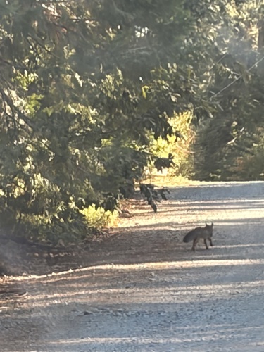
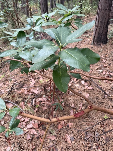
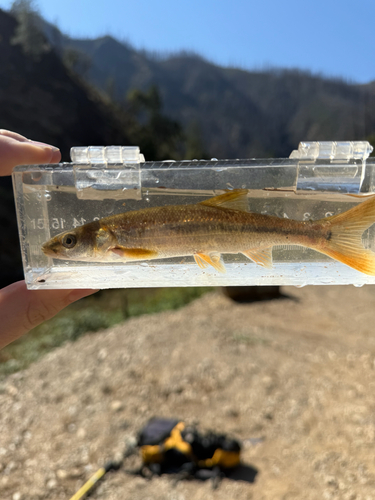
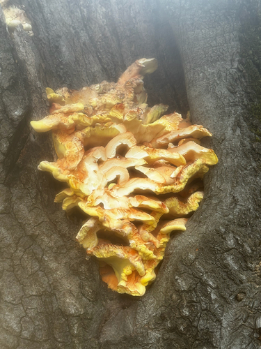
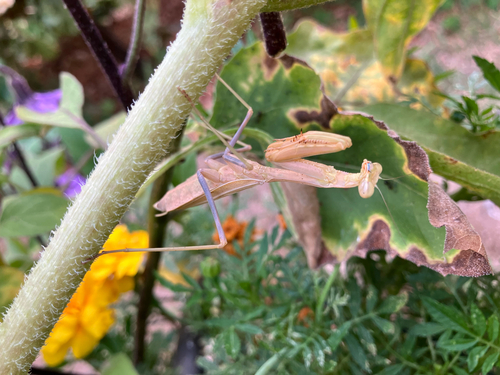
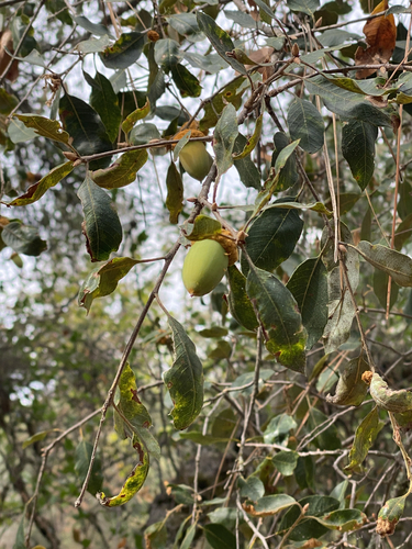
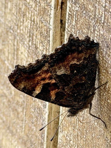
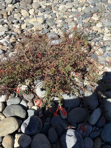
Research-grade observations from iNaturalist (within ~15 mi).
Nearest stream gauge
Events
Gallery
Sources
- • Wikipedia
- • US Census Bureau (ACS 5-year estimates)
- • NOAA National Weather Service
- • Wikidata
- • NCES via Urban Institute Education Data Portal
- • iNaturalist
- • CDC PLACES
- • Open-Elevation
- • Open-Meteo / sunrise-sunset.org
- • Wikipedia Pageviews API
- • Open Library
- • NASA EONET