Browse / Canada / Quebec / Gesgapegiag
Gesgapegiag
Quebecvillage

Gesgapegiag
Total population
784
Demographic figures from Statistics Canada. Overview below cites Wikipedia and may reference a different year.
City facts
Facts from Wikidata (CC0).
Overview
Gesgapegiag is one of three First Nations communities on the south shore of the Gaspé Peninsula, whose members are primarily of Mi'kmaq ancestry. Most reside on the federally recognized Indian reserve established by the legislature of Lower Canada in the 1850s for the exclusive use of Mi'kmaq in the region. Others live off-reserve across Canada and the eastern United States, maintaining close ties to the community.
Read more on WikipediaHistory & geography
History
The Mi’kmaq are one of the most ancient Indigenous peoples of eastern North America, with archaeological evidence showing that their ancestors have lived in the Atlantic region for over 10,000 years. Their traditional territory, Mi’kma’ki, encompassed present-day Nova Scotia, Prince Edward Island, New Brunswick, parts of Newfoundland, and Quebec’s Gaspé Peninsula. The region’s rivers, forests, and coasts provided abundant resources that sustained their way of life. Following European contact in the 16th and 17th centuries, the Mi’kmaq’s vast territory was gradually reduced through colonial expansion, settlement, and the establishment of reserves. Treaties signed with the British Crown in the 18th century recognized Mi’kmaq rights to land and resources, but these agreements were often ignored or reinterpreted by colonial authorities. Over time, Mi’kmaq communities were confined to small reserves, leading to significant disruption of their traditional ways of life. In the late 18th century, Indigenous claims were made to hunting and fishing rights on the Cascapedia River, as well as to exclusive occupation of its banks. By at least 1784, Mi'kmaq families had begun to establish permanent settlements along the river, and their numbers grew steadily over time. A census taken in 1825 recorded 112 Mi'kmaq living on the Gesgapegiag Indian Reserve. From an early period, these families also produced maple sugar on Horse Island, eventually establishing as many as fourteen camps dedicated to this work. The “juice of the maple” became an important source of income for the community. The Gesgapegiag reserve was formally established by the legislature of Lower Canada in 1853. It was originally known as the Indians of Maria before the Department of Indian Affairs restored its…
Geography
Gesgapegiag is situated primarily on Route 132 around the south shore of the Gaspé Peninsula at the mouth of the Cascapédia River, where it widens into Chaleur Bay. Although its topography is mostly flat, the reserve is surrounded by the Appalachian Uplands . The first survey of the land was conducted in 1835 and the reserve's boundary more or less is shaped as an obtuse triangle.
Excerpted from the corresponding Wikipedia article (CC BY-SA).
Geography
Coordinates & boundaries from the US Census TIGER/Line shapefiles.
Climate
Air quality
Walkability
Amenities nearby
Wildlife & biodiversity
Earthquake history
Photos
Sights & places nearby
Notable people from here
Nearby places in Quebec
- Carleton-sur-Mer11.2 mi away · pop. 4,081
- Saint-Alphonse-de-Caplan13.5 mi away
- Nouvelle18.5 mi away
- Newport54.4 mi away
- Chandler58 mi away · pop. 7,490
- Saint-François-de-Pabos60.9 mi away
- Sainte-Thérèse-de-Gaspé70.6 mi away
- Val-d'Espoir73 mi away
- Les Méchins73.7 mi away
- Cap d'Espoir74.8 mi away
- Wakeham75.7 mi away
- L'Anse-à-Beaufils76.4 mi away
Geography & sun
Nearby airports
Public attention
Books about this place
Recent natural events nearby
Ground air-quality sensors
Recently spotted species
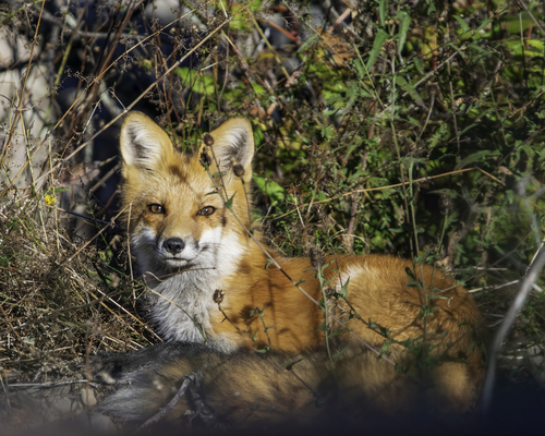
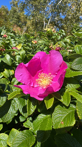
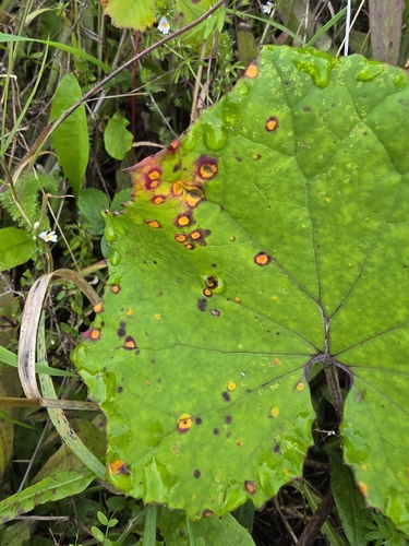
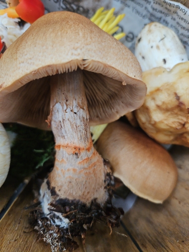
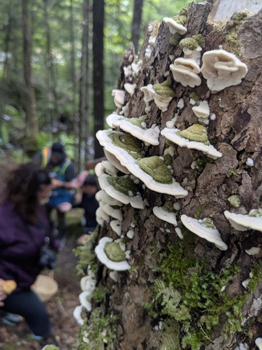
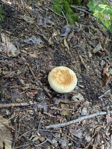
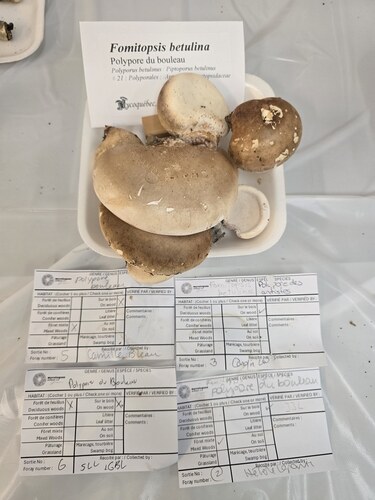
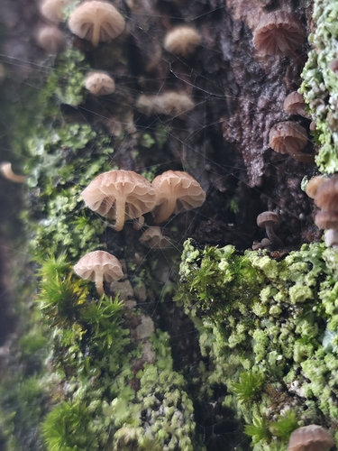
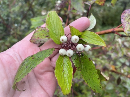
Research-grade observations from iNaturalist (within ~15 mi).
Events
Gallery
Official Identifiers
StatCan — Statistics Canada
- SGC code
- 2406802
- Population (Wikidata)
- 637
- Wikidata
- Q3104462
Standard Geographical Classification (SGC) via Wikidata P3012
Sources
- • Wikipedia
- • Wikidata
- • iNaturalist
- • StatCan — Statistics Canada — Standard Geographical Classification (SGC) via Wikidata P3012