Browse / United States / California / Gilroy
Gilroy
Californiacity

Gilroy
Total population
59,004
Median home value
$1,027,400
Bachelor's+
Median income
$133,107
Founded
1870
Air quality index
Demographic figures from US Census Bureau · ACS 5-year estimates. Overview below cites Wikipedia and may reference a different year.
- Heat Advisory · ModerateHeat Advisory issued October 1 at 9:43AM PDT until October 4 at 10:00PM PDT by NWS San Francisco CA
Source: NOAA National Weather Service.
City facts
Sister cities
Facts from Wikidata (CC0).
Overview
Gilroy is a city in Santa Clara County, California, United States, south of the San Francisco Bay Area. It had a population of 59,520 as of the 2020 census.
Read more on WikipediaHistory & geography
History
Spanish explorers led by Juan Bautista de Anza first passed through the Santa Clara Valley area in 1776. More than 20 years later, Spanish missionaries established Mission San Juan Bautista in 1797 near the Pajaro River. In 1809, Ygnacio Ortega was granted the Spanish land concession Rancho San Ysidro. The village of San Ysidro developed nearby, at the foot of Pacheco Pass which linked the El Camino Real and the Santa Clara Valley with the San Joaquin Valley. California's main exports at this time were hides and tallow, of which thousands of barrels were produced and shipped to the rest of New Spain. Trade and diplomatic intercourse with foreigners was strictly forbidden by the royal government but was quietly carried on by Californians desperate for luxury goods. During the War of 1812, the armed merchantman Isaac Todd was sent by the North West Company to seize Fort Astoria, an American trading post at the mouth of the Columbia River. The ship, with a Royal Navy escort, departed from Portsmouth, England, made its way around Cape Horn and proceeded up the Pacific coast of the Americas, stopping at Spanish ports for supplies along the way. In January 1814, having fallen behind its escort, the Isaac Todd arrived at Monterey, California, the Spanish colonial capital of Alta California. During the visit, ordinary seaman John Gilroy (a Scotsman who had changed his name from John Cameron when he went to sea to avoid recognition) either (depending on the historical source) jumped ship or was left ashore to recover from scurvy. John Gilroy (1794–1869), also known as Juan Bautista Gilroy, spent the next few years moving around among the missions, pueblos and ranchos, plying his trade as a cooper (barrel maker). At first, by his own account in an 1856 letter to Thomas O.…
Geography
According to the United States Census Bureau, the city has a total area of , of which 0.06% is water. Due to the moderating influence of the Pacific Ocean, Gilroy experiences a warm Mediterranean climate (Köppen Csb, bordering on Csa). Temperatures range from an average midsummer maximum of to an average midwinter low of . Average annual precipitation is , and the summer months are typically dry. Snowfall is rare; occurring approximately once every 20 years, it is light and short-lived. Summer months are characterized by coastal fog which arrives from the ocean around 10 p.m. and dissipates the next morning by 10 a.m. During summer afternoons, the maritime influence lowers and, as a result, Gilroy is much more prone to heat waves than nearby geographical areas to its north and west. Winter months have many sunny and partly cloudy days, with frequent breaks between rainstorms. The local terrain is not conducive to tornadoes, severe windstorms, or thunderstorms. The local climate supports chaparral and grassland biomes, with stands of live oak at higher elevations. Average temperatures in December, the coldest month, are a maximum of and a minimum of . Average temperatures in August, the hottest month, are a maximum of and a minimum of . There are an average of 7.7 days with highs of or higher and an average of 16.1 days with lows of or lower. The record high temperature of occurred on July 15, 1972. The record low temperature of occurred on December 22–24, 1990. There are an average of 55.0 days with measurable precipitation. The wettest year was 1983 with and the driest year was 1977 and 2007, both with . The most rainfall in one month was in January 1914. }}
Excerpted from the corresponding Wikipedia article (CC BY-SA).
Demographics & economy
Race & ethnicity
Source: US Census Bureau — American Community Survey, 5-year estimates.
Geography
Coordinates & boundaries from the US Census TIGER/Line shapefiles.
Climate
Current forecast
Forecast for Gilroy, CA from NOAA NWS API.
Air quality
Current readings from Open-Meteo Air Quality API (Copernicus CAMS European reanalysis).
Industrial & pollution facilities
Natural hazard risk
Health (adults)
Age-adjusted prevalence estimates from CDC PLACES (latest release).
Walkability
Amenities nearby
Wildlife & biodiversity
Most-observed species
- Black PhoebeSayornis nigricans (Swainson, 1827) · Aves9,457
- California/Woodhouse's Scrub-JayAphelocoma californica (Vigors, 1839) · Aves8,963
- House FinchHaemorhous mexicanus (P.L.Statius Müller, 1776) · Aves8,911
- Red-tailed HawkButeo jamaicensis (Gmelin, 1788) · Aves8,301
- American CrowCorvus brachyrhynchos C.L.Brehm, 1822 · Aves8,285
- Turkey VultureCathartes aura (Linnaeus, 1758) · Aves7,963
- California TowheeMelozone crissalis (Vigors, 1839) · Aves7,804
- MallardAnas platyrhynchos Linnaeus, 1758 · Aves7,626
Citizen-science & research observations from the Global Biodiversity Information Facility (GBIF).
Schools
Largest nearby schools
- Gilroy HighHigh · Gilroy · 1,739 students · 22.6:1 ratio
- Christopher HighHigh · Gilroy · 1,664 students · 21.9:1 ratio
- Solorsano MiddleMiddle · Gilroy · 780 students · 22.3:1 ratio
- Las Animas ElementaryElementary · Gilroy · 769 students · 24.8:1 ratio
- Brownell MiddleMiddle · Gilroy · 747 students · 22.6:1 ratio
- South Valley MiddleMiddle · Gilroy · 735 students · 21.6:1 ratio
- Luigi Aprea ElementaryElementary · Gilroy · 716 students · 24.7:1 ratio
- Rod Kelley ElementaryElementary · Gilroy · 707 students · 27.2:1 ratio
Public K–12 schools within ~10 mi from Urban Institute Education Data Portal (NCES Common Core of Data, 2022).
Earthquake history
Photos
Sights & places nearby
Notable people from here


People born within ~10 km, from Wikidata (CC0). Click any name for their Wikipedia article.
Nearby places in California
Geography & sun
Elevation, sunrise/sunset and daylight from Open-Meteo. Solar climatology from NASA POWER.
Nearby airports
Public attention
Pageview totals from the Wikimedia Pageviews API.
Books about Gilroy


Search results from Open Library.
Recent natural events nearby
- Wildfire Timber, Monterey, CaliforniaWildfires · 2026-08-09 · 55 mi
- Wildfire Plaskett, Monterey, CaliforniaWildfires · 2026-08-26 · 77 mi
- Wildfire GANN, Calaveras, CaliforniaWildfires · 2026-08-03 · 88 mi
- Wildfire DOME, Mariposa, CaliforniaWildfires · 2026-09-15 · 115 mi
- Wildfire PLAINS, San Luis Obispo, CaliforniaWildfires · 2026-08-12 · 141 mi
- Prescribed Fire CRAWFORD CORRAL RX, Tulare, CaliforniaWildfires · 2026-09-19 · 147 mi
- Wildfire LUCAS, Lake, CaliforniaWildfires · 2026-09-10 · 172 mi
- Wildfire LUCAS, Lake, CaliforniaWildfires · 2026-09-10 · 172 mi
Wildfires, storms and other events from NASA EONET (last 12 months, within 250 mi).
Ground air-quality sensors
Recently spotted species
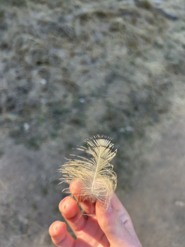
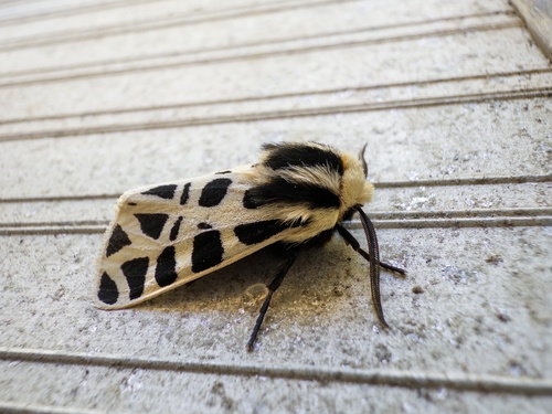
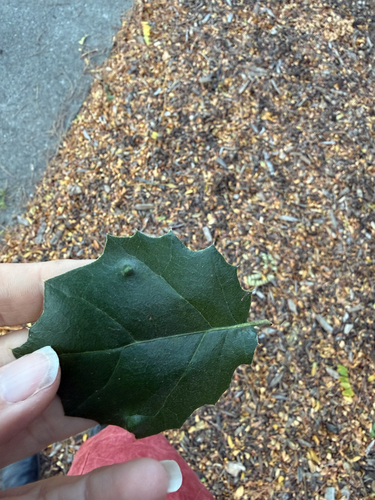
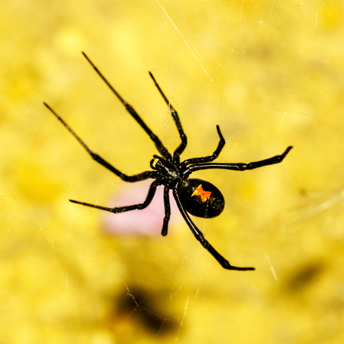
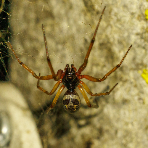
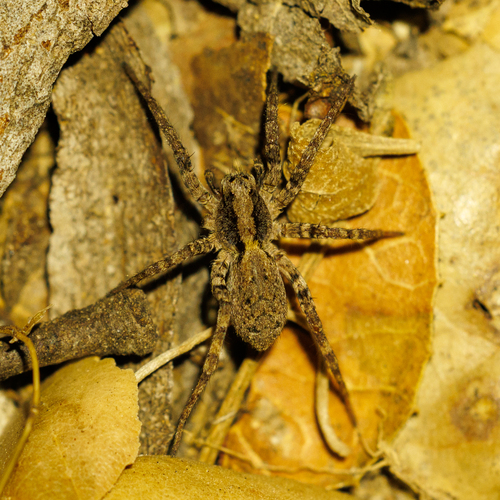
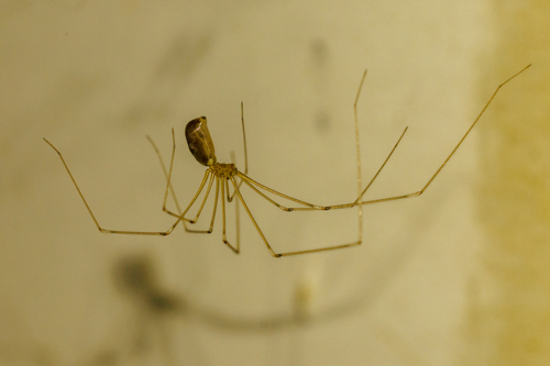
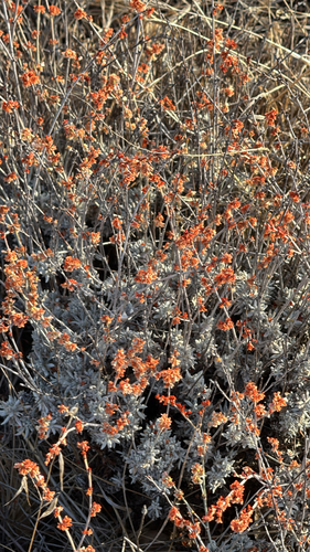
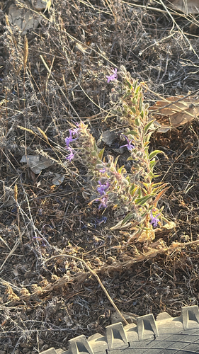
Research-grade observations from iNaturalist (within ~15 mi).
Nearest stream gauge
Live readings from USGS NWIS · measured 2026-10-16 19:00 UTC.
Events
Gallery
Geotagged photos within ~6 miles of Gilroy, from Wikimedia Commons contributors.
 0.2 mi
 0.2 mi
 0.4 mi
 0.4 mi
 0.5 mi
 0.5 mi
 0.5 mi
 0.5 mi
 0.5 mi
 0.6 mi
 0.6 mi
 0.6 mi
 0.6 mi
 0.6 mi
 0.6 mi
 0.6 mi
 0.6 mi
 0.6 mi
 0.6 mi
 0.6 mi
.jpg) 0.6 mi
0.6 mi 0.7 mi
 0.7 mi
 0.7 mi
Photos via Wikimedia Commons — see each image page for license & attribution.
Sources
- • Wikipedia
- • US Census Bureau (ACS 5-year estimates)
- • NOAA National Weather Service
- • Wikimedia Commons
- • Wikidata
- • Open-Meteo Air Quality (CAMS)
- • USGS NWIS (water data)
- • NCES via Urban Institute Education Data Portal
- • GBIF (Global Biodiversity Information Facility)
- • iNaturalist
- • CDC PLACES
- • Open-Meteo / sunrise-sunset.org
- • Wikipedia Pageviews API
- • Open Library
- • NASA EONET