Browse / Canada / Manitoba / Glenboro
Glenboro
Manitobatown
Demographic figures from Statistics Canada. Overview below cites Wikipedia and may reference a different year.
City facts
Overview
Glenboro is an unincorporated rural community in the Municipality of Glenboro – South Cypress within the Canadian province of Manitoba that held village status prior to January 1, 2015. it is located about 80 km southeast of the City of Brandon. In the 2021 census it had a population of 1,123. The community is a service centre for the surrounding farming community.
Read more on WikipediaHistory & geography
History
The Glenboro area was visited early in western exploration, possibly as early as the 1730s when the La Verendryes travelled to the Missouri and beyond. History records that the explorer and geographer David Thompson passed through the area in 1798 and made note of the quality of soil. The first permanent European settlers of the area (Jonas Christie and James Duncan) arrived in 1879, and after the federal Homestead Act passed in 1880, many more settlers arrived in the area, including a number of Icelandic settlers between 1889 and 1894. The arrival of the CPR in 1886 prompted Christie and Duncan to offer land for a town site. The Queens Hotel was the first permanent building of the community, constructed in 1881, and survives into the 21st century. In 1950 the community was formally incorporated as a village. Steam riverboats were in use on the Assiniboine River between 1875 and 1885. The bow timbers of the last of this "prairie navy" are preserved in a park in Glenboro. The SS Alpha ran aground on April 27, 1885. By this time the advent of the railway had displaced riverboats for transport of passengers, HBC trade goods, agricultural supplies, and grain between Southern Manitoba communities and larger centers such as Winnipeg. A 1904 water tower was installed for watering steam locomotives. The tower was declared both a federal and a provincial heritage site in September 1996. One of the few remaining water towers in Canada, it was destroyed by fire in the early morning hours of April 4, 2008. The community was connected to the Manitoba electrical grid in 1927, and is the northern terminus of a 260 km, 230 kV electrical transmission line to Harvey, North Dakota.
Excerpted from the corresponding Wikipedia article (CC BY-SA).
Geography
Coordinates & boundaries from the US Census TIGER/Line shapefiles.
Climate
Air quality
Walkability
Amenities nearby
Wildlife & biodiversity
Most-observed species
- Red-winged BlackbirdAgelaius phoeniceus (Linnaeus, 1766) · Aves203
- Canada Goose (canadensis Group)Branta canadensis (Linnaeus, 1758) · Aves174
- Mourning DoveZenaida macroura (Linnaeus, 1758) · Aves151
- MallardAnas platyrhynchos Linnaeus, 1758 · Aves146
- American RobinTurdus migratorius Linnaeus, 1766 · Aves138
- American CrowCorvus brachyrhynchos C.L.Brehm, 1822 · Aves122
- American GoldfinchSpinus tristis (Linnaeus, 1758) · Aves113
- Song SparrowMelospiza melodia (A.Wilson, 1810) · Aves110
Citizen-science & research observations from the Global Biodiversity Information Facility (GBIF).
Earthquake history
Events from the USGS Earthquake Catalog (global) (FDSN Event Web Service).
Photos
Sights & places nearby
Notable people from here

People born within ~10 km, from Wikidata (CC0). Click any name for their Wikipedia article.
Nearby places in Manitoba
- Cypress Hutterite Colony6.2 mi away
- MillsHof Hutterite Colony6.6 mi away
- Baldur12.1 mi away
- Belmont12.7 mi away
- St. Alphonse15.3 mi away
- Trileaf Hutterite Colony15.5 mi away
- Treesbank Hutterite Colony15.7 mi away
- Bruxelles17.3 mi away
- Holland18.4 mi away
- Ninette19 mi away
- Mariapolis19.1 mi away
- Wellwood Hutterite Colony20.3 mi away
Geography & sun
Elevation, sunrise/sunset and daylight from Open-Meteo. Solar climatology from NASA POWER.
Nearby airports
Public attention
Pageview totals from the Wikimedia Pageviews API.
Books about this place
Recent natural events nearby
Ground air-quality sensors
Recently spotted species
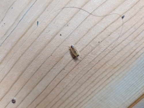
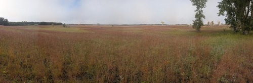
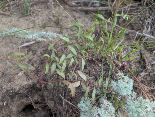
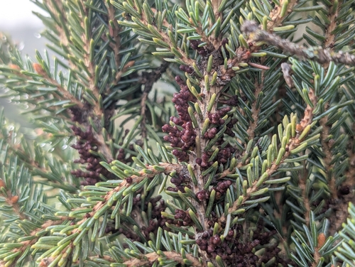
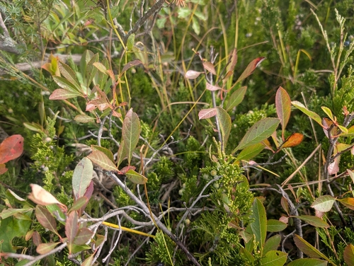
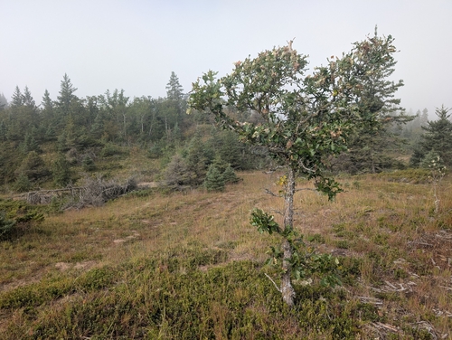
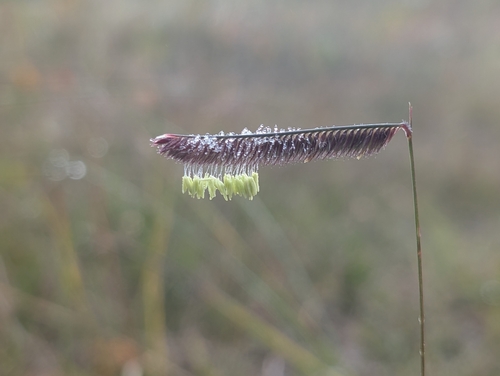
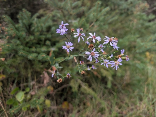
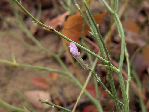
Research-grade observations from iNaturalist (within ~15 mi).
Events
Gallery
Sources
- • Wikipedia
- • Wikidata
- • USGS Earthquake Catalog (global feed)
- • GBIF (Global Biodiversity Information Facility)
- • iNaturalist
- • Open-Meteo / sunrise-sunset.org
- • Wikipedia Pageviews API