Browse / Canada / Alberta / Goldridge Hutterite Colony
Goldridge Hutterite Colony
Albertahamlet
Demographic figures from Statistics Canada. Overview below cites Wikipedia and may reference a different year.
City facts
Overview
Set in Alberta, Canada, Goldridge Hutterite Colony is recorded in open geodata as a hamlet. The settlement sits at 50.015°, -112.585°, a cool-temperate location in the northern hemisphere. Detailed population figures are not currently catalogued in the open data sources we track. The location receives about 1,376 kWh/m² of solar irradiance per year and sunshine for roughly 54% of daylight hours. Climatically, locations at this latitude tend to experience long cool seasons and short, mild summers. The sections below expand on demographics, weather, terrain, hazards and nearby points of interest using publicly available datasets.
Summary composed automatically from structured open data on this page. See our Terms for details.
History & geography
Geography
Coordinates & boundaries from the US Census TIGER/Line shapefiles.
Climate
Air quality
Walkability
Amenities nearby
Wildlife & biodiversity
Most-observed species
- Canada Goose (canadensis Group)Branta canadensis (Linnaeus, 1758) · Aves171
- MallardAnas platyrhynchos Linnaeus, 1758 · Aves134
- Lesser ScaupAythya affinis (Eyton, 1838) · Aves109
- American CootFulica americana Gmelin, 1789 · Aves106
- House SparrowPasser domesticus (Linnaeus, 1758) · Aves104
- RedheadAythya americana (Eyton, 1838) · Aves98
- American WigeonMareca americana (J.F.Gmelin, 1789) · Aves97
- Black-billed MagpiePica hudsonia (Sabine, 1823) · Aves96
Citizen-science & research observations from the Global Biodiversity Information Facility (GBIF).
Earthquake history
Most recent
- M 3.3 — 2017-11-2221 km S of Magrath, Canada
- M 2.9 — 2014-09-1213 km ENE of Picture Butte, Canada
- M 3.4 — 2014-09-0736 km SSE of Magrath, Canada
- M 3.5 — 2008-01-0313 km SSE of Magrath, Canada
- M 3.5 — 2006-12-3018 km SSE of Magrath, Canada
- M 3.2 — 2005-12-1116 km S of Magrath, Canada
Events from the USGS Earthquake Catalog (global) (FDSN Event Web Service).
Photos
Sights & places nearby
Notable people from here
Nearby places in Alberta
- Cameron Hutterite Colony10.1 mi away
- Enchant Hutterite Colony10.8 mi away
- Albion Ridge Hutterite Colony12 mi away
- Shadow Ranch Hutterite Colony18.1 mi away
- Chin18.4 mi away
- Carmangay Hutterite Colony19.3 mi away
- Keho Lake Hutterite Colony19.3 mi away
- Hillridge Hutterite Colony23.2 mi away
- Copperfield Hutterite Colony23.8 mi away
- Lomond Hutterite Colony23.8 mi away
- Kipp24.2 mi away
- Lakeside Hutterite Colony25.9 mi away
Geography & sun
Elevation, sunrise/sunset and daylight from Open-Meteo. Solar climatology from NASA POWER.
Nearby airports
Public attention
Books about this place
Recent natural events nearby
- Wildfire Deer Creek, Lincoln, MontanaWildfires · 2026-08-20 · 171 mi
- Wildfire Middle Coulee, Chouteau, MontanaWildfires · 2026-08-02 · 173 mi
- Wildfire Camp Creek, Powell, MontanaWildfires · 2026-08-21 · 180 mi
- Wildfire Parker Lake, Boundary, IdahoWildfires · 2026-08-23 · 198 mi
- Wildfire Silver, Boundary, IdahoWildfires · 2026-08-23 · 207 mi
- Wildfire Dudley, Shoshone, IdahoWildfires · 2026-08-26 · 229 mi
- Prescribed Fire Kelly Gulch RX, Lewis and Clark, MontanaWildfires · 2026-09-22 · 230 mi
- Wildfire Ant Park, Meagher, MontanaWildfires · 2026-07-31 · 243 mi
Wildfires, storms and other events from NASA EONET (last 12 months, within 250 mi).
Ground air-quality sensors
Recently spotted species
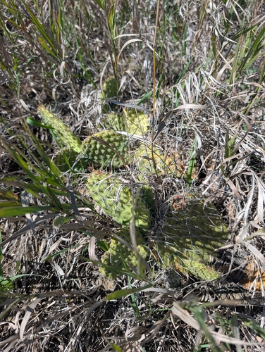
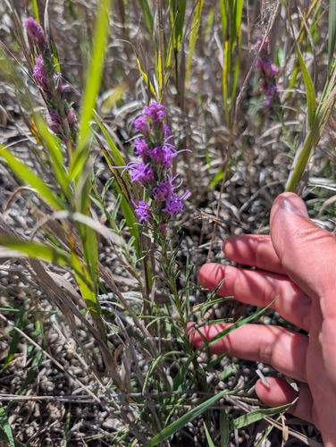
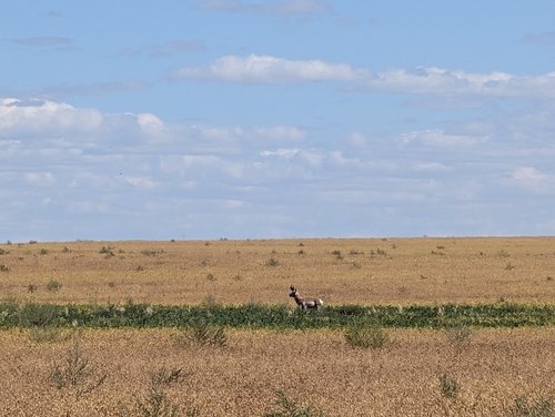
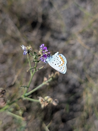
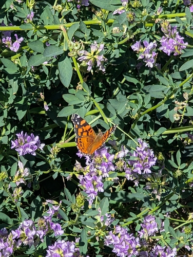
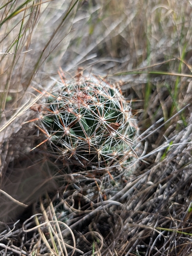
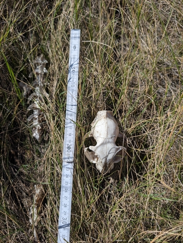
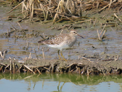
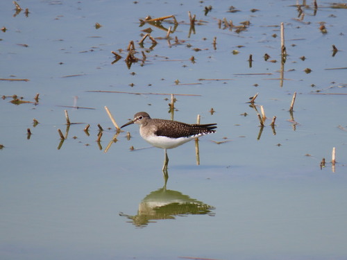
Research-grade observations from iNaturalist (within ~15 mi).
Events
Gallery
Sources
- • Wikidata
- • USGS Earthquake Catalog (global feed)
- • GBIF (Global Biodiversity Information Facility)
- • iNaturalist
- • Open-Meteo / sunrise-sunset.org
- • NASA EONET