Browse / United States / California / Goleta
Goleta
Californiacity

Goleta
Total population
32,685
Median home value
$1,062,100
Bachelor's+
Median income
$122,370
Founded
2002
Demographic figures from US Census Bureau · ACS 5-year estimates. Overview below cites Wikipedia and may reference a different year.
- Extreme Heat Warning · SevereExtreme Heat Warning issued October 1 at 12:17PM PDT until October 8 at 8:00PM PDT by NWS Los Angeles/Oxnard CA
Source: NOAA National Weather Service.
City facts
Facts from Wikidata (CC0).
Overview
Goleta is a city in southern Santa Barbara County, California, United States. It was incorporated as a city in 2002, after a long period as the largest unincorporated populated area in the county. As of the 2000 census, the census-designated place (CDP) had a total population of 55,204. A significant portion of the census territory of 2000 was not included in the city. The population of Goleta was 32,690 at the 2020 census. It is known for being close to the campus of the University of California, Santa Barbara.
Read more on WikipediaHistory & geography
History
The area of present-day Goleta was populated for thousands of years by the Chumash people. Locally, they became known, by the Spanish, as Canaliños as they lived along the coast, adjacent to the Channel Islands. One of the largest villages, S'axpilil, was north of the Goleta Slough, not far from the present-day Santa Barbara Airport.While one source cites the Spanish for the ship type 'schooner' as the source of the place name There were at least five native towns in the area, the largest being on an island in the middle of the lagoon. For that reason, expedition engineer Miguel Costanso called the group of towns Pueblos de la Isla, or "towns of the island". Some of the soldiers called the island town Mescaltitlan, after a similarly insular Aztec settlement in Nayarit, Mexico. Franciscan missionary Juan Crespi, who accompanied the expedition, gave the towns the name Santa Margarita de Cortona. The island retained the name Mescalitan Island (dropping the extra 'T' of the Aztec spelling), until it was bulldozed and flattened in 1941 to provide fill for the military airfield that is now Santa Barbara Airport (SBA). The wastewater treatment plant of the Goleta Sanitary District is located on what used to be the island. Portola returned to San Diego via the same route in January 1770, where he mounted a second expedition to Monterey that year. A second Spanish expedition came to the Santa Barbara area of Alta California in 1774, led by Juan Bautista de Anza. De Anza returned the following year, and the road along the coast of Santa Barbara County (today's Highway 1) soon became El Camino Real, connecting the string of Spanish missions. An expedition in 1782, led by military governor Felipe de Neve, founded the Presidio of Santa Barbara, and soon thereafter, the Santa…
Geography
Goleta is about west of the city of Santa Barbara, along the coast (the coast runs east to west in this portion of Southern California). Nearby is the Santa Barbara campus of the University of California and the student community of Isla Vista. According to the United States Census Bureau, the city has a total area of , of which (0.91%) is covered by water. It consists of Holocene and Pleistocene alluvium, colluvium, and estuarine deposits, as well as marine terraces created during interglacial high-sea-level episodes. The area has been subject to rapid geologic uplift, as evidenced by its coastal bluffs and narrow beaches. The uplift was caused by motion along the More Ranch Fault, one of the most geologically active faults in the area. The More Ranch Fault roughly follows a line along El Colegio Road, through the southern part of the airport, along Atascadero Creek, and then continues east into Santa Barbara as the Mission Ridge Fault Zone. Soils in Goleta are mostly well-drained, brown, fine, sandy loam of the Milpitas series. Underneath the alluvial units of the coastal plain are three prominent bedrock units: Monterey Formation, Sisquoc Formation, and Santa Barbara Formation. This last unit is the principal groundwater aquifer for the region, and its freshwater wells are protected from seawater intrusion by the uplift along the More Ranch Fault, which has placed relatively impermeable rock units between the ocean and it. Some of the underlying sedimentary units contain economically recoverable quantities of oil and gas. The Ellwood Oil Field was worked beginning in the 1920s, with its onshore portions only being dismantled in the 1970s. The La Goleta Gas Field was formerly productive on the bluffs west of More Mesa, and is now used for gas storage by the…
Excerpted from the corresponding Wikipedia article (CC BY-SA).
Demographics & economy
Race & ethnicity
Source: US Census Bureau — American Community Survey, 5-year estimates.
Geography
Coordinates & boundaries from the US Census TIGER/Line shapefiles.
Climate
Current forecast
Forecast for Goleta, CA from NOAA NWS API.
Air quality
Industrial & pollution facilities
Natural hazard risk
Health (adults)
Age-adjusted prevalence estimates from CDC PLACES (latest release).
Walkability
Amenities nearby
Wildlife & biodiversity
Schools
Largest nearby schools
- Santa Barbara Senior HighHigh · Santa Barbara · 2,107 students · 20.7:1 ratio
- Dos Pueblos Senior HighHigh · Goleta · 2,034 students · 21.4:1 ratio
- San Marcos Senior HighHigh · Santa Barbara · 2,020 students · 21.7:1 ratio
- La Colina Junior HighMiddle · Santa Barbara · 900 students · 22:1 ratio
- Peabody CharterElementary · Santa Barbara · 767 students · 24:1 ratio
- Goleta Valley Junior HighMiddle · Goleta · 717 students · 18.4:1 ratio
- Santa Barbara Junior HighMiddle · Santa Barbara · 560 students · 17.5:1 ratio
- Washington ElementaryElementary · Santa Barbara · 524 students · 18.7:1 ratio
Public K–12 schools within ~10 mi from Urban Institute Education Data Portal (NCES Common Core of Data, 2022).
Earthquake history
Photos
Sights & places nearby
Notable people from here
Nearby places in California
Geography & sun
Elevation, sunrise/sunset and daylight from Open-Meteo. Solar climatology from NASA POWER.
Nearby airports
Public attention
Pageview totals from the Wikimedia Pageviews API.
Books about Goleta
Search results from Open Library.
Recent natural events nearby
- Wildfire BUZZARD, Kern, CaliforniaWildfires · 2026-08-05 · 62 mi
- Wildfire RIDGE, Los Angeles, CaliforniaWildfires · 2026-08-07 · 63 mi
- Wildfire PLAINS, San Luis Obispo, CaliforniaWildfires · 2026-08-12 · 68 mi
- Wildfire Plaskett, Monterey, CaliforniaWildfires · 2026-08-26 · 134 mi
- Prescribed Fire CRAWFORD CORRAL RX, Tulare, CaliforniaWildfires · 2026-09-19 · 158 mi
- Wildfire Timber, Monterey, CaliforniaWildfires · 2026-08-09 · 162 mi
- Wildfire DOME, Mariposa, CaliforniaWildfires · 2026-09-15 · 217 mi
Wildfires, storms and other events from NASA EONET (last 12 months, within 250 mi).
Ground air-quality sensors
Recently spotted species
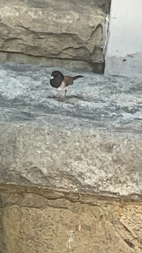
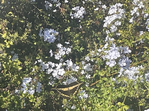
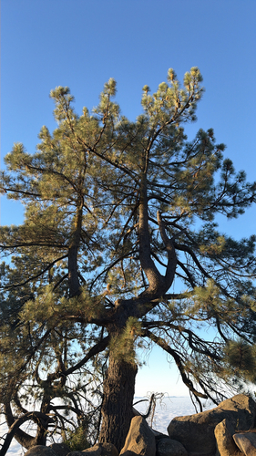
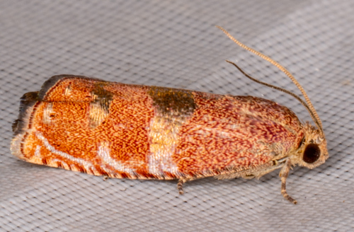
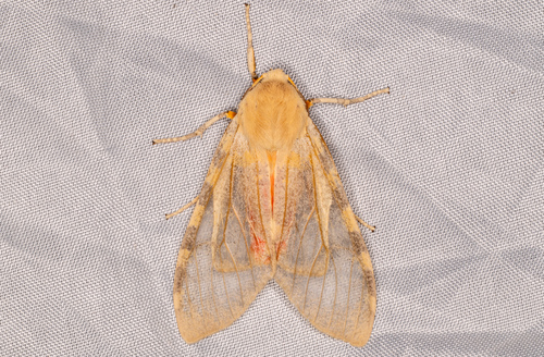
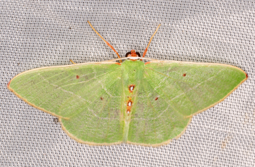
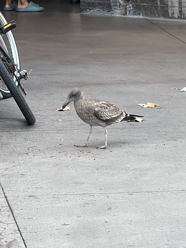
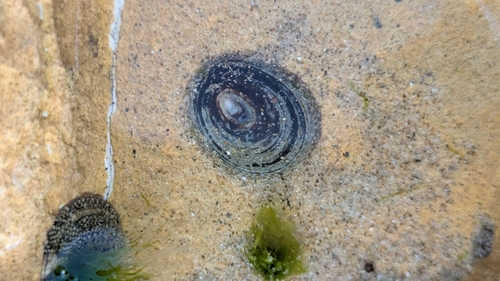
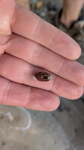
Research-grade observations from iNaturalist (within ~15 mi).
Nearest stream gauge
Events
Gallery
Sources
- • Wikipedia
- • US Census Bureau (ACS 5-year estimates)
- • NOAA National Weather Service
- • Wikidata
- • NCES via Urban Institute Education Data Portal
- • iNaturalist
- • CDC PLACES
- • Open-Meteo / sunrise-sunset.org
- • Wikipedia Pageviews API
- • Open Library
- • NASA EONET