Browse / Canada / Quebec / Granby
Granby
Quebeccity

Granby
Total population
69,025
Founded
1859
Demographic figures from Statistics Canada. Overview below cites Wikipedia and may reference a different year.
City facts
Facts from Wikidata (CC0).
Overview
Granby is a town in the Estrie region of Quebec, and the administrative centre of the La Haute-Yamaska Regional County Municipality. The municipality had a population of 69,025 in the 2021 Canadian census, while the Granby census agglomeration had 90,833.
Read more on WikipediaHistory & geography
History
Before European settlement, the Yamaska watershed was used by Indigenous peoples for hunting, fishing, travel and trade. Historical and archaeological work cited by the MRC de La Haute-Yamaska records W8banakiak, Anishinabeg, Haudenosaunee, Kanien'kehá:ka and St. Lawrence Iroquoians along the Yamaska River and its tributaries. An 1801 survey described the low ground around present-day Lac Boivin as meadows and forest, with ash, fir, maple, hemlock and birch among the trees recorded in the area. Colonel Henry Caldwell first petitioned the colonial government for land for members of the Quebec militia in 1788. Granby Township was surveyed over the following years, and Jeremiah McCarthy filed the final survey in 1801. On January 8, 1803, Granby and Milton townships were granted to Quebec City militiamen and the widows of militiamen. Horner built a sawmill on the Yamaska River. A road through the township was completed in 1819, improving access toward Montreal and the townships farther east. Their numbers increased during the industrial expansion that followed. By the 1930s, the French-Canadian population had become the dominant cultural and linguistic presence in the city. By 1930, Miner Rubber, Imperial Tobacco and Granby Elastic Web employed about 2,500 of the city's 3,000 factory workers. Granby's population rose from about 14,000 in 1939 to 30,000 by 1960. Lac Boivin supplied part of Granby's drinking water from 1932 until 1977. Granby and the surrounding Township of Granby voted on a merger on May 28, 2006. The proposal received 56% support in the city and 81% in the township; turnout was 33%. The two municipalities were merged on January 1, 2007.
Geography
Granby covers 152.69 km². There are war memorials to Latimer (1901), to the soldiers killed in the Second Boer War, and a monument to the Braves. Selbach fountain, inaugurated in 1982, rises on the corner of Dufferin street and Mountain boulevard. Two ponds connected by a small stream, large rock outcrops, and a hilly terrain are its main geographical characteristics; its northeastern tip is bisected by Lorne street; at its southernmost limits, the park borders Parkview Elementary School, an English-language school. In the warm months, free concerts are sometimes played in a gazebo. * Park Miner is the second oldest park in Granby; it was given to the town by mayor Stephen Henderson Campbell Miner in 1910; today, it lies downtown and houses Piscine Miner (Miner pool), the municipal indoor public pool. A monument to the founders of Saint-Jean-Baptiste society was erected in 1934. The first community public art gallery in the region is installed by Atelier 19 to celebrate its ten years.During the summer, the park has tents installed to house different public activities such as dance and music. Parc Daniel-Johnson occupies part of the western shore of Lac Boivin. The wetlands on the eastern side are used for conservation and environmental education. Local conservation work began there in 1969, and the Centre d'interprétation de la nature du lac Boivin was established as a non-profit organization in 1980. | metric first = Y | single line = Y | Jan record high C = 17.5 | Feb record high C = 18.0 | Mar record high C = 25.0 | Apr record high C = 30.0 | May record high C = 34.7 | Jun record high C = 34.4 | Jul record high C = 39.4 | Aug record high C = 35.6 | Sep record high C = 33.9 | Oct record high C = 28.9 | Nov record high C = 23.9 | Dec record high C = 19.0 | year…
Excerpted from the corresponding Wikipedia article (CC BY-SA).
Geography
Coordinates & boundaries from the US Census TIGER/Line shapefiles.
Climate
Air quality
Walkability
Amenities nearby
Wildlife & biodiversity
Earthquake history
Photos
Sights & places nearby
Notable people from here


People born within ~10 km, from Wikidata (CC0). Click any name for their Wikipedia article.
Nearby places in Quebec
- Sainte-Cécile-de-Milton6 mi away
- Saint-Alphonse-de-Granby6.6 mi away
- Ange-Gardien10.8 mi away
- Saint-Pie11.5 mi away
- Cowansville13.3 mi away · pop. 15,234
- Saint-Césaire13.6 mi away
- Farnham14.7 mi away · pop. 8,909
- Rougemont16.3 mi away
- Sainte-Brigide-d'Iberville17.5 mi away
- Sainte-Angèle-de-Monnoir18.8 mi away
- Sainte-Sabine18.8 mi away
- Dunham19 mi away
Geography & sun
Elevation, sunrise/sunset and daylight from Open-Meteo. Solar climatology from NASA POWER.
Nearby airports
Public attention
Pageview totals from the Wikimedia Pageviews API.
Books about Granby
Search results from Open Library.
Recent natural events nearby
Ground air-quality sensors
Recently spotted species
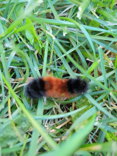
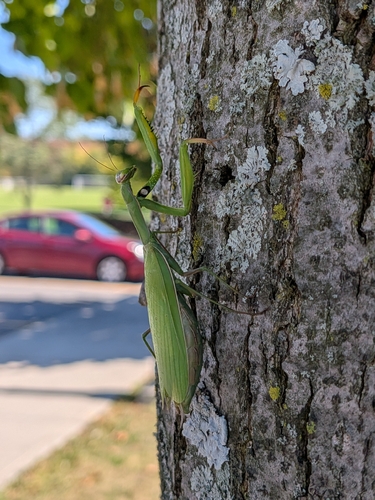
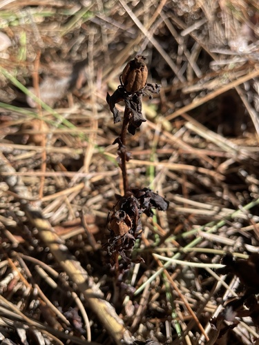
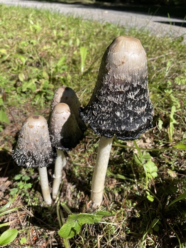
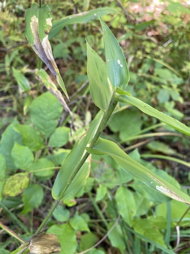
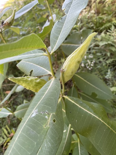
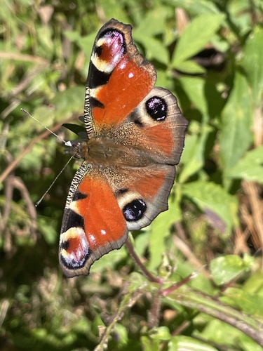
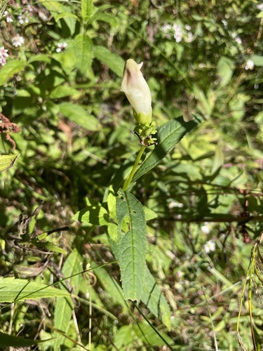
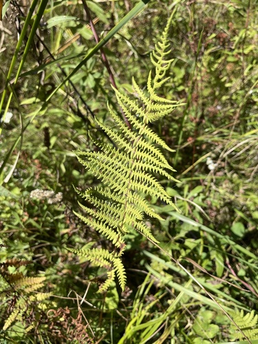
Research-grade observations from iNaturalist (within ~15 mi).
Events
Gallery
Official Identifiers
StatCan — Statistics Canada
- SGC code
- 2447017
- Population (Wikidata)
- 69,025
- Wikidata
- Q141881
Standard Geographical Classification (SGC) via Wikidata P3012
Sources
- • Wikipedia
- • Wikidata
- • iNaturalist
- • Open-Meteo / sunrise-sunset.org
- • Wikipedia Pageviews API
- • Open Library
- • StatCan — Statistics Canada — Standard Geographical Classification (SGC) via Wikidata P3012