Browse / Canada / British Columbia / Grantham
Grantham
British Columbiahamlet
Demographic figures from Statistics Canada. Overview below cites Wikipedia and may reference a different year.
City facts
Sister cities
Facts from Wikidata (CC0).
Overview
Grantham, a hamlet in British Columbia, Canada, forms part of the country's settled landscape. Geographically it lies in the northern hemisphere at a temperate latitude (49.767°, -125.027°). Up-to-date population figures for this locality are not available in the open datasets we monitor. Based on its temperate position, residents likely encounter four distinct seasons with warm summers and cold winters. The location receives about 1,191 kWh/m² of solar irradiance per year and sunshine for roughly 47% of daylight hours. Additional figures on demographics, climate, geography and points of interest appear in the sections that follow, all drawn from open public datasets.
Summary composed automatically from structured open data on this page. See our Terms for details.
History & geography
Geography
Grantham is a town in the South Kesteven district of Lincolnshire, a non-metropolitan county in the East Midlands of England. Until 1974, it was a municipal borough; it is now a civil parish and bounded by the parishes of Great Gonerby to the north-west, Belton and Manthorpe to the north, Londonthorpe and Harrowby Without to the north-east and east, Little Ponton and Stroxton to the south, Harlaxton to the south-west, and Barrowby to the west. Its urban area is almost entirely within the parish, The town lies in the valley of the River Witham, its core at the Witham's confluence with the Mowbeck (or Mow Beck). The Witham flows south–north through Grantham. The Mowbeck, which rises from springs at Harlaxton about to the south-west of the town, is culverted behind Westgate and Brook Street The floor of the Witham valley – 50–60 m above sea level in the town centre – is underlain by mudstone of the Charmouth formation of the Lower Jurassic period (199–183 million years ago). This formation is overlain by Belton sand and gravel laid down in estuaries and rivers in the Quaternary period up to 3 million years ago. The river courses are overlain by Quaternary alluvium and to the north by river terrace deposits. The soil around the route of the Witham is wet, acidic, sandy and loamy; its fertility is poor. As the ground rises on the town's eastern and southern fringes, it is underlain by Jurassic Marlstone rocks of ferruginous sandstone and ironstone formed 190–174 million years ago, and then by Whitby Mudstone of 174–183 million years ago. The land rises sharply to form the Lincoln Cliff that marks the edge of the urban area and start of the Lincoln Heath and Kesteven Uplands, which are capped by Jurassic Oolitic Limestone, mostly overlain by shallow, free-draining,…
Excerpted from the corresponding Wikipedia article (CC BY-SA).
Geography
Coordinates & boundaries from the US Census TIGER/Line shapefiles.
Climate
Air quality
Walkability
Amenities nearby
Wildlife & biodiversity
Earthquake history
Photos
Sights & places nearby
Notable people from here


People born within ~10 km, from Wikidata (CC0). Click any name for their Wikipedia article.
Nearby places in British Columbia
Geography & sun
Elevation, sunrise/sunset and daylight from Open-Meteo. Solar climatology from NASA POWER.
Nearby airports
Public attention
Pageview totals from the Wikimedia Pageviews API.
Books about this place
Recent natural events nearby
- Wildfire Electric, Whatcom, WashingtonWildfires · 2026-08-22 · 179 mi
- Wildfire Thunder Creek, Skagit, WashingtonWildfires · 2026-08-22 · 199 mi
- Wildfire SISI, Chelan, WashingtonWildfires · 2026-08-14 · 214 mi
- Wildfire KING, Kittitas, WashingtonWildfires · 2026-08-19 · 234 mi
- Wildfire GOAT, Kittitas, WashingtonWildfires · 2026-08-22 · 242 mi
Wildfires, storms and other events from NASA EONET (last 12 months, within 250 mi).
Ground air-quality sensors
Recently spotted species
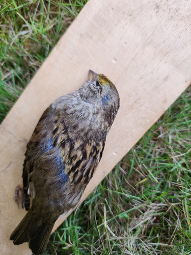
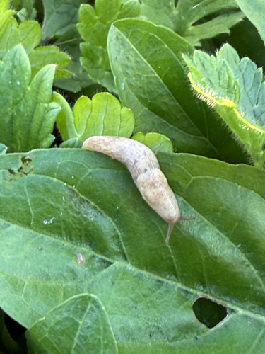
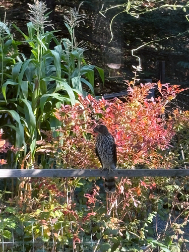
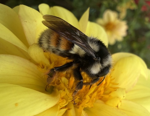
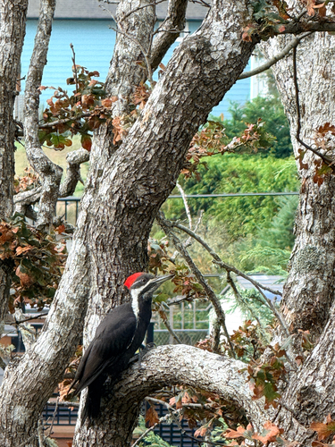
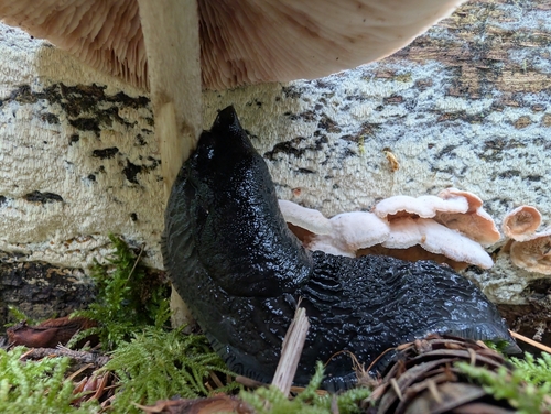
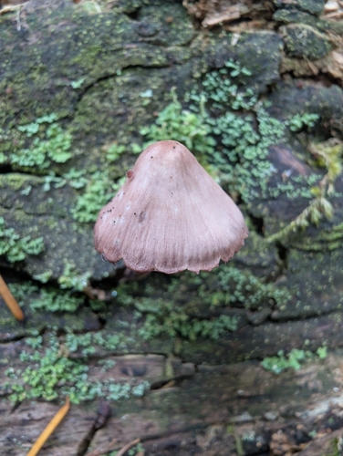
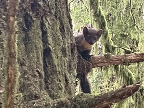
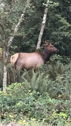
Research-grade observations from iNaturalist (within ~15 mi).
Events
Gallery
Sources
- • Wikipedia
- • Wikidata
- • iNaturalist
- • Open-Meteo / sunrise-sunset.org
- • Wikipedia Pageviews API
- • NASA EONET