Browse / Canada / Nova Scotia / Guysborough
Guysborough
Nova Scotiavillage

Guysborough
Total population
992
Demographic figures from Statistics Canada. Overview below cites Wikipedia and may reference a different year.
City facts
Facts from Wikidata (CC0).
Overview
Guysborough is an unincorporated village in the Canadian province of Nova Scotia, located in Guysborough County.
Read more on WikipediaHistory & geography
History
The Mi'kmaq frequented the area, and had a seasonal settlement just south of present-day Guysborough near present-day Cook's Cove. The site of present-day Guysborough was first occupied by French Europeans in 1634, led by Isaac de Razilly, a French nobleman and Navy officer who later became Governor of French Acadia. He built Fort St François à Canso at the entrance to the harbour, on the peninsula known today as Fort Point. In 1655, Nicolas Denys, governor of the new St Lawrence Bay Province, renamed the area to Chedabuctou and built Fort Chedabuctou at the site of the Razilly's fort to serve as his capital. In the early 1680s, Clerbaud Bergier, a French Huguenot merchant from La Rochelle, France, led other French merchants in founding the Company of Acadia (Compagnie de la Peche Sedentaire), and established Fort St. Louis to control the regions fishery. Settlers were brought to support the fort and fishery, and the village of Chedabuctou grew next to the fort, as well as farming activity farther inland along the Milford Haven River. A group cleared land and spent the winter of 1682 at Chedabuctou, with the first crops being planted in 1683. By 1687, several families were living at Chedabuctou, as well as soldiers and many seasonal fishermen. In August 1688, during King William's War, raiders from New England pillage the fort and fishery. The fort is taken when a soldier opens the gate in the morning and all the others are still asleep, leading to the lone soldier being overwhelmed by the raiders hiding near the gate. The pillaging of the fort is a financial disaster for the company, with several large ships being captured. In the aftermath of this failure, the Company of Acadia is reorganised and a garrison of French Troupes de la Marine are stationed at Fort St.…
Excerpted from the corresponding Wikipedia article (CC BY-SA).
Geography
Coordinates & boundaries from the US Census TIGER/Line shapefiles.
Climate
Air quality
Walkability
Amenities nearby
Wildlife & biodiversity
Earthquake history
Photos
Sights & places nearby
Notable people from here


People born within ~10 km, from Wikidata (CC0). Click any name for their Wikipedia article.
Nearby places in Nova Scotia
Geography & sun
Elevation, sunrise/sunset and daylight from Open-Meteo. Solar climatology from NASA POWER.
Nearby airports
Public attention
Pageview totals from the Wikimedia Pageviews API.
Books about Guysborough

Search results from Open Library.
Recent natural events nearby
Ground air-quality sensors
Recently spotted species
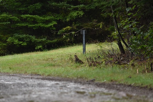
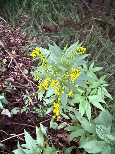
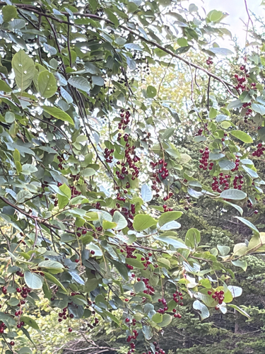
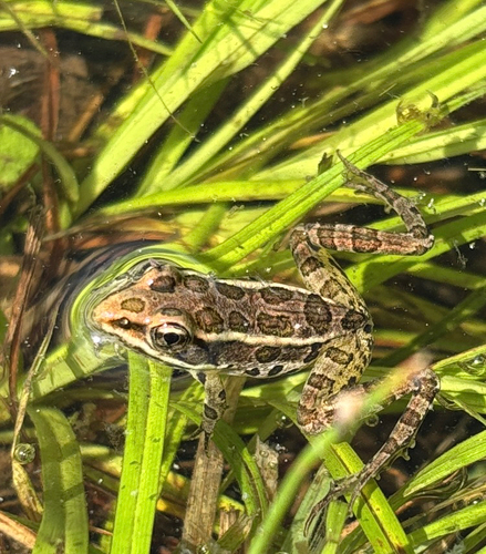
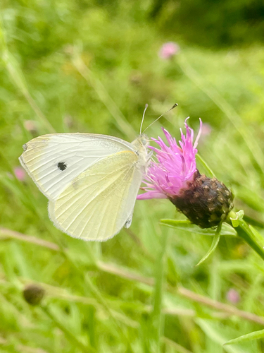
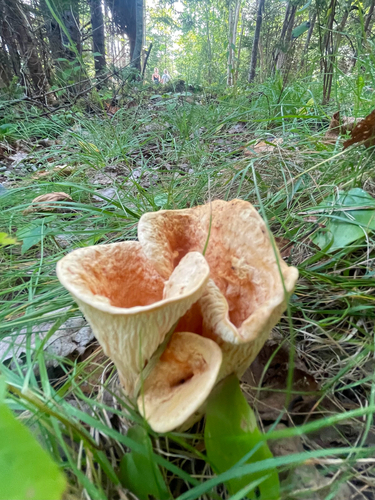
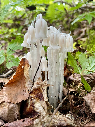
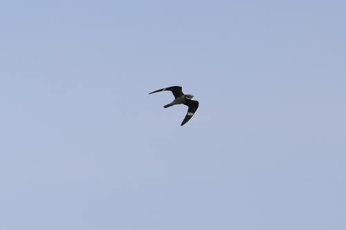
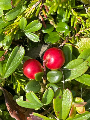
Research-grade observations from iNaturalist (within ~15 mi).
Events
Gallery
Sources
- • Wikipedia
- • Wikidata
- • iNaturalist
- • Open-Meteo / sunrise-sunset.org
- • Wikipedia Pageviews API
- • Open Library