Browse / Canada / Saskatchewan / Hafford
Hafford
Saskatchewantown

Hafford
Total population
414
Demographic figures from Statistics Canada. Overview below cites Wikipedia and may reference a different year.
City facts
Facts from Wikidata (CC0).
Overview
Hafford is a town in the RM of Redberry, Saskatchewan, Canada, consisting of 414 residents at the 2021 Canadian census. It is near the salt water Redberry Lake.
Read more on WikipediaHistory & geography
History
The first overseer for the village of Hafford was T.G. Bavin in 1914. The Hafford Village Council and Board of Trade requested a doctor, and Dr. Whitemarsh was appointed for the village. The early community was first served by Luxembourg Post Office. The early village had three lumber yards, a general store, I.H.C. agency, a poolroom, livery barn, hardware, and post office. In 1913 the Canadian Bank of Commerce and the first restaurant opened. The hotel and bar were established in 1914. Power came to Hafford in 1916, and the Hafford Rural Telephone Company was established in 1916. The Hafford hospital was built in 1922. Hafford was served by the Ukrainian Catholic Church established 1911, the Ukrainian Orthodox church built 1909, the Roman Catholic Church erected about the same time. The Anglican church was built in 1918, and the Methodist church which was erected in Hafford moved to Richard. The Dominion Government Illustration Station was operated between 1932 and 1955. This station tested grains, and fertilizers and improved livestock.
Excerpted from the corresponding Wikipedia article (CC BY-SA).
Geography
Coordinates & boundaries from the US Census TIGER/Line shapefiles.
Climate
Air quality
Walkability
Amenities nearby
Wildlife & biodiversity
Earthquake history
Photos
Sights & places nearby
Notable people from here

People born within ~10 km, from Wikidata (CC0). Click any name for their Wikipedia article.
Geography & sun
Elevation, sunrise/sunset and daylight from Open-Meteo. Solar climatology from NASA POWER.
Nearby airports
Public attention
Pageview totals from the Wikimedia Pageviews API.
Books about Hafford
Search results from Open Library.
Recent natural events nearby
Ground air-quality sensors
Recently spotted species
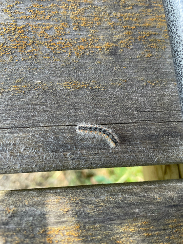
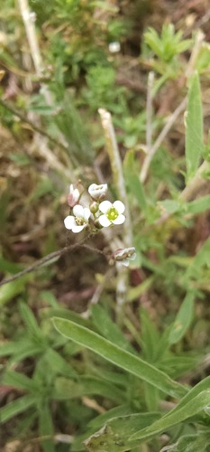
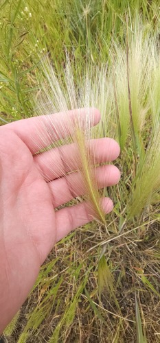
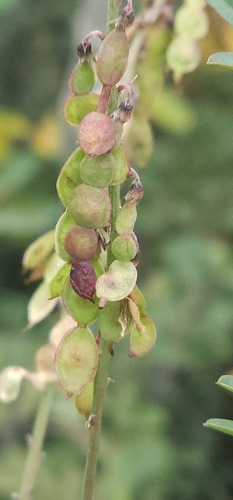
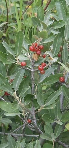
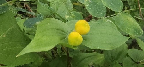
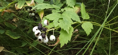
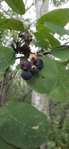
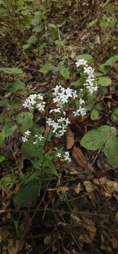
Research-grade observations from iNaturalist (within ~15 mi).
Events
Gallery
Official Identifiers
StatCan — Statistics Canada
- SGC code
- 4716022
- Wikidata
- Q1911249
Standard Geographical Classification (SGC) via Wikidata P3012
Sources
- • Wikipedia
- • Wikidata
- • iNaturalist
- • Open-Meteo / sunrise-sunset.org
- • Wikipedia Pageviews API
- • Open Library
- • StatCan — Statistics Canada — Standard Geographical Classification (SGC) via Wikidata P3012