Browse / Canada / Ontario / Hagersville
Hagersville
Ontariotown

Hagersville
Demographic figures from Statistics Canada. Overview below cites Wikipedia and may reference a different year.
City facts
Overview
Hagersville is a community in Haldimand County, Ontario, Canada.
Read more on WikipediaHistory & geography
History
Upon the construction of Highway 6, known formerly as the Plank Road, a small village popped up around 1855 when Charles and David Hager bought most of the land in the centre of the area. David Almas owned the land on the east side of the road, while John Porter owned the land in the west end. The building of the Canada Southern Railroad in 1870, and of the Hamilton and Lake Erie Railway three years later helped to make Hagersville a prosperous village in 1879. Close by the rail crossing was The Junction Hotel, later becoming The Lawson Hotel after a change in ownership. Perhaps it was best known as Murph's Place when retired NHL player Ron Murphy took ownership. It was also known as the Hagersville Inn, but today it is known as The Old Lawson House. In 1852, Charles Hager built a frame hotel at the corner of the Plank Road and Indian Line. Hagersville's first post office was in this hotel and Joseph Seymour suggested the community be called Hagersville to honour the Hager brothers. As of 2020, the Lawson property offered rooms as affordable housing for many residents. During World War II No. 16 Service Flying Training School RCAF was established by the Royal Canadian Air Force as part of the British Commonwealth Air Training Plan at 274 Concession 11 Walpole southwest of Hagersville. No. 16 SFTS opened on 8 August 1941 and closed on 30 March 1945. After the RCAF finished with the site it was used by the Canadian Army for various purposes and was known as Camp Hagersville. The camp was closed in 1964. Between the 1960s and 1990s, the camp was used as a residence for youth and then a flea market. As of 2013 the site was an industrial park. Some of the military homes are still there, and the housing area is known as "White Oaks Village". A good view of the site and…
Excerpted from the corresponding Wikipedia article (CC BY-SA).
Geography
Coordinates & boundaries from the US Census TIGER/Line shapefiles.
Climate
Air quality
Walkability
Amenities nearby
Wildlife & biodiversity
Earthquake history
Photos
Sights & places nearby
Notable people from here
Nearby places in Ontario
Geography & sun
Elevation, sunrise/sunset and daylight from Open-Meteo. Solar climatology from NASA POWER.
Nearby airports
Public attention
Pageview totals from the Wikimedia Pageviews API.
Books about Hagersville

Search results from Open Library.
Recent natural events nearby
Ground air-quality sensors
Recently spotted species
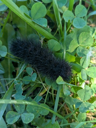
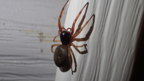
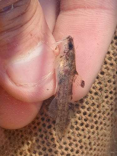
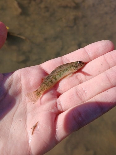
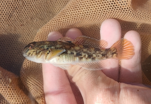
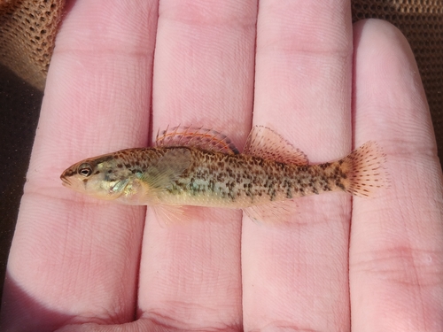
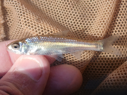
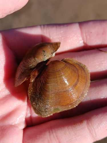
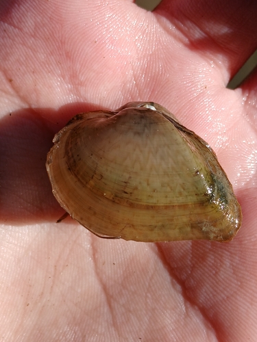
Research-grade observations from iNaturalist (within ~15 mi).
Events
Gallery
Sources
- • Wikipedia
- • iNaturalist
- • Open-Meteo / sunrise-sunset.org
- • Wikipedia Pageviews API
- • Open Library