Browse / Canada / Alberta / Hanna
Hanna
Albertatown

Hanna
Total population
2,559
Demographic figures from Statistics Canada. Overview below cites Wikipedia and may reference a different year.
City facts
Overview
Hanna is a town in Central Alberta, Canada, approximately 57 km (35 mi) northeast of the town of Drumheller.
Read more on WikipediaHistory & geography
History
The town was first settled in 1912 and was incorporated in 1914. The Canadian Northern Railway's Goose Lake line running between Saskatoon to Calgary was built there at that time. Hanna was named after David Blyth Hanna, the third vice president of the Canadian Northern Railway. It was a division point of the Canadian Northern Railway and had a 10-stall railway roundhouse. The Depression-era drought hurt the area. In 1939 the Alberta government established a Special Area to provide additional support for residents in that part of the province.
Excerpted from the corresponding Wikipedia article (CC BY-SA).
Geography
Coordinates & boundaries from the US Census TIGER/Line shapefiles.
Climate
Air quality
Walkability
Amenities nearby
Wildlife & biodiversity
Most-observed species
- Canada Goose (canadensis Group)Branta canadensis (Linnaeus, 1758) · Aves202
- Black-billed MagpiePica hudsonia (Sabine, 1823) · Aves183
- Western MeadowlarkSturnella neglecta Audubon, 1844 · Aves175
- MallardAnas platyrhynchos Linnaeus, 1758 · Aves164
- Common RavenCorvus corax Linnaeus, 1758 · Aves146
- American CrowCorvus brachyrhynchos C.L.Brehm, 1822 · Aves141
- European StarlingSturnus vulgaris Linnaeus, 1758 · Aves135
- Red-winged BlackbirdAgelaius phoeniceus (Linnaeus, 1766) · Aves133
Citizen-science & research observations from the Global Biodiversity Information Facility (GBIF).
Earthquake history
Events from the USGS Earthquake Catalog (global) (FDSN Event Web Service).
Photos
Sights & places nearby
Notable people from here


People born within ~10 km, from Wikidata (CC0). Click any name for their Wikipedia article.
Nearby places in Alberta
- Watts7.1 mi away
- Berry Creek Hutterite Colony10.2 mi away
- Hand Hills Hutterite Colony10.6 mi away
- Hamlet of Craigmyle13.8 mi away
- Scapa15.9 mi away
- Neu Muehl Hutterite Colony18.9 mi away
- Cloverleaf Hutterite Colony22.6 mi away
- Endiang23.6 mi away
- Verdant Valley Hutterite Colony26.4 mi away
- Blue Sky Hutterite Colony26.8 mi away
- Suncrest Hutterite Colony29.4 mi away
- Byemoor Hutterite Colony31.2 mi away
Geography & sun
Elevation, sunrise/sunset and daylight from Open-Meteo. Solar climatology from NASA POWER.
Nearby airports
Public attention
Pageview totals from the Wikimedia Pageviews API.
Books about Hanna


Search results from Open Library.
Recent natural events nearby
Ground air-quality sensors
Recently spotted species
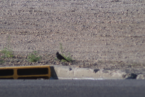
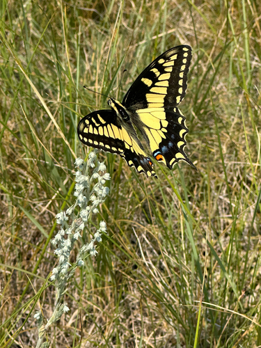
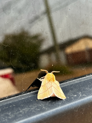
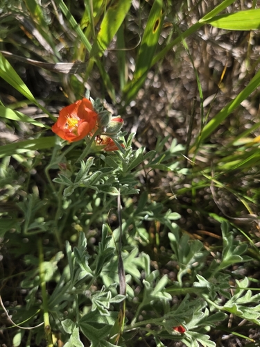
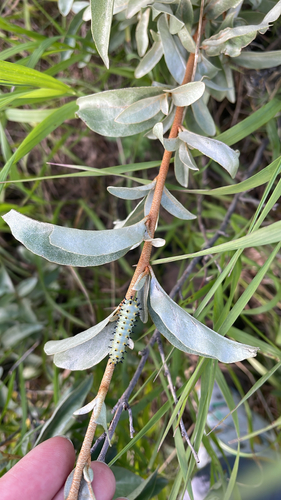
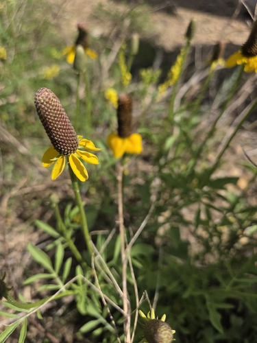
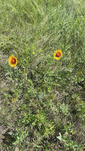
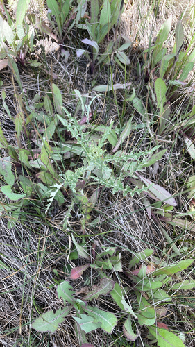
Research-grade observations from iNaturalist (within ~15 mi).
Events
Gallery
Official Identifiers
StatCan — Statistics Canada
- SGC code
- 4804011
- Population (Wikidata)
- 2,394
- Wikidata
- Q747623
Standard Geographical Classification (SGC) via Wikidata P3012
Sources
- • Wikipedia
- • Wikidata
- • USGS Earthquake Catalog (global feed)
- • GBIF (Global Biodiversity Information Facility)
- • iNaturalist
- • Open-Meteo / sunrise-sunset.org
- • Wikipedia Pageviews API
- • Open Library
- • StatCan — Statistics Canada — Standard Geographical Classification (SGC) via Wikidata P3012