Browse / Canada / New Brunswick / Hanwell
Hanwell
New Brunswickvillage
Demographic figures from Statistics Canada. Overview below cites Wikipedia and may reference a different year.
City facts
Overview
Set in New Brunswick, Canada, Hanwell is recorded in open geodata as a village. Its coordinates of 45.904°, -66.752° place it in the temperate zone of the northern hemisphere. No reliable population estimate is published for this entry in the open data we rely on. The latitude suggests four distinct seasons with warm summers and cold winters. Open solar datasets indicate about 1,284 kWh/m² of solar irradiance per year, combined with sunshine for roughly 50% of daylight hours. Continue scrolling for population, climate, environmental and points-of-interest data drawn from public sources.
Summary composed automatically from structured open data on this page. See our Terms for details.
History & geography
History
On 1 October 1926 the civil parish was abolished and merged with Ealing. At the 1921 census (the last before the abolition of the parish), Hanwell St Mary had a population of 20,481. The name probably means 'spring/stream frequented by cocks'. The earliest surviving reference is AD 959 when it is recorded as Hanewelle in pledge, when Alfwyn (a Saxon) pawned his land for money to go on a pilgrimage. The origin of the name is uncertain; various suggestions have been put forward. Near to the old Rectory and close to Hanwell spring is a large stone of about a ton in weight. In Anglo-Saxon the word Han denoted a boundary stone. This juxtaposition of these two natural features could have given rise to the name Han-well, which dates back to before the Domesday Book. The original borders of the parish stretched from the bend of the River Brent at Greenford and followed the river down to the River Thames. Its geography, before the draining of the marshes, formed a natural boundary between the different tribes of the south east of England. This gives some support to the suggestion that Han came from the Saxon han for cockerel. If so, the name is derived from Han-créd-welle. Han-créd or cock-crow meant the border between night and day, and is neither one nor the other. So Hanwell would mean well upon the boundary. For more see: River Brent: Hydronymy. The only other Hanwell in Britain is a small parish in Oxfordshire on the boundary with Warwickshire. Early in the 20th century, The Viaduct received a new faïence façade, which Nikolaus Pevsner succinctly described as "a jolly tiled Edwardian pub". However, the present building dates back to 1930 when it was rebuilt by brewers Mann, Crossman & Paulin in the Arts & Crafts style. Though unexciting on the outside, its interior is…
Excerpted from the corresponding Wikipedia article (CC BY-SA).
Geography
Coordinates & boundaries from the US Census TIGER/Line shapefiles.
Climate
Air quality
Walkability
Amenities nearby
Wildlife & biodiversity
Earthquake history
Photos
Sights & places nearby
Notable people from here


People born within ~10 km, from Wikidata (CC0). Click any name for their Wikipedia article.
Geography & sun
Elevation, sunrise/sunset and daylight from Open-Meteo. Solar climatology from NASA POWER.
Nearby airports
Public attention
Pageview totals from the Wikimedia Pageviews API.
Books about this place
Recent natural events nearby
Ground air-quality sensors
Recently spotted species
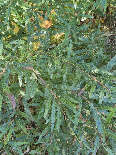
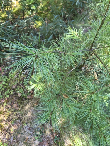
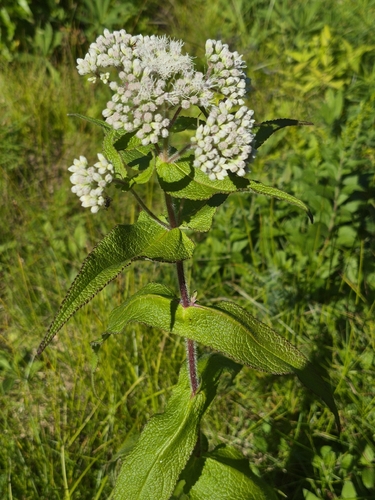
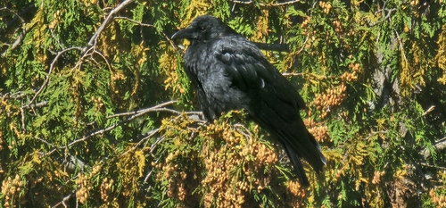
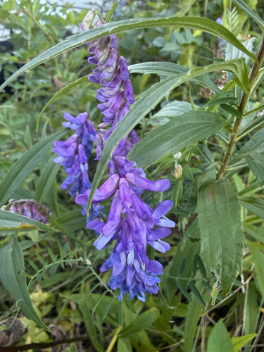
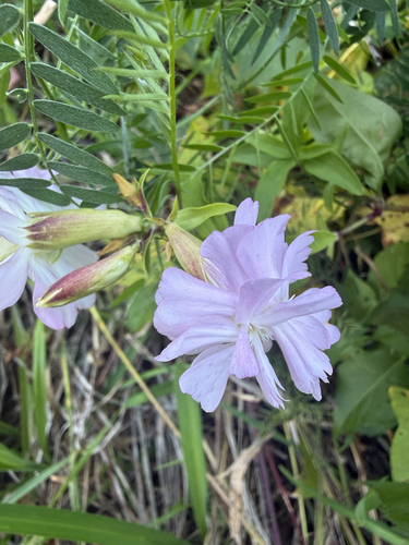
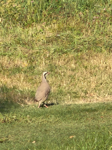
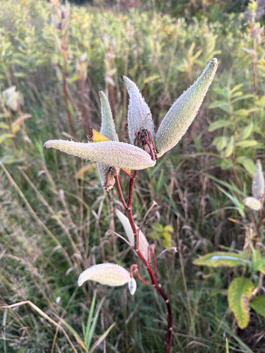
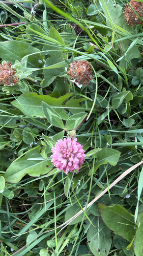
Research-grade observations from iNaturalist (within ~15 mi).
Events
Gallery
Official Identifiers
StatCan — Statistics Canada
- SGC code
- 1310017
- Wikidata
- Q3127094
Standard Geographical Classification (SGC) via Wikidata P3012
Sources
- • Wikipedia
- • Wikidata
- • iNaturalist
- • Open-Elevation
- • Open-Meteo / sunrise-sunset.org
- • Wikipedia Pageviews API
- • StatCan — Statistics Canada — Standard Geographical Classification (SGC) via Wikidata P3012