Browse / Canada / Newfoundland and Labrador / Happy Valley-Goose Bay
Happy Valley-Goose Bay
Newfoundland and Labradortown

Happy Valley-Goose Bay
Total population
8,040
Founded
1942
Demographic figures from Statistics Canada. Overview below cites Wikipedia and may reference a different year.
City facts
Facts from Wikidata (CC0).
Overview
Happy Valley-Goose Bay is a town in the province of Newfoundland and Labrador, Canada. Located in central Labrador on the coast of Lake Melville and the Churchill River, Happy Valley-Goose Bay is the largest population centre in the region with an estimated 8,040 residents in 2021.
Read more on WikipediaHistory & geography
History
In the summer of 1941, Eric Fry, an employee of the Canadian Department of Mines and Resources on loan to the Royal Canadian Air Force, selected a large sandy plateau near the mouth of the Goose River to build the Goose Bay Air Force Base. Docking facilities for transportation of goods and personnel were built at Terrington Basin. Goose Air Base became a landing and refuelling stop for the Atlantic Ferry route. Soon after the site was selected, men from the coast of Labrador began working on the base. With World War II creating a sense of urgency, it took only five months to build an operational military airport on the leased territory. The first settlers to the area came from coastal Labrador to work with McNamara Construction Company, which was contracted to build the Goose Bay Air Force Base. Their first choice was Otter Creek, where they were told that it would be too close to the base. A new location was chosen based upon the requirement to be at least from the base. In 1942, a new site was chosen that was first called Refugee Cove; it was not until 1955 that it eventually was renamed Happy Valley. The first three families to arrive to work at the construction of the base were the Saunders from Davis Inlet, the Broomfields from Big Bay, and the Perraults from Makkovik. Happy Valley's first school was operated by a Mrs. Perrault from her home until 1946, when the Royal Canadian Air Force donated a building. The old one-room school was bought by Bella and Clarence Brown in early 1962 and turned into a family residence. In 1949, the Air Force donated a second building which became the North Star School. Mrs. Perrault also became Happy Valley's first librarian. Bella Brown took over as Happy Valley's librarian when the North Star School's second building was…
Geography
Happy Valley-Goose Bay lies at the southwest end of Lake Melville near the mouth of the Churchill River. The town is located on the southern shore of a peninsula created by Terrington Basin to the north and Goose Bay at the south. Happy Valley-Goose Bay displays a borderline humid continental climate (Köppen Dfb), close to a subarctic climate (Köppen Dfc), marked by significant snowfall during the winter, which has average highs around . Summer highs, on the other hand, average . The average high temperature stays at or below freezing for five months of the year and the low does so for six months. |source 2= weatherstats.ca (for dewpoint and monthly&yearly average absolute maximum&minimum temperature) }}
Excerpted from the corresponding Wikipedia article (CC BY-SA).
Geography
Coordinates & boundaries from the US Census TIGER/Line shapefiles.
Climate
Air quality
Walkability
Amenities nearby
Wildlife & biodiversity
Earthquake history
Photos
Sights & places nearby
Notable people from here
Nearby places in Newfoundland and Labrador
- Mud Lake5.9 mi away · pop. 50
- Sheshatshiu16.5 mi away · pop. 1,285
- North West River18 mi away
- ᑭᑭᐊᖅ Rigolet (Kikiaq)98 mi away · pop. 310
- ᕿᐳᖅᑲᖅ Postville (Kaipokok)113.7 mi away · pop. 190
- Paradise River125 mi away
- Kaipokok125.6 mi away
- West Bay131.7 mi away
- ᒪᖂᕕᒃ Makkovik131.8 mi away
- Cartwright138.2 mi away · pop. 516
- Packs Harbour141.4 mi away
- Hare Harbour147.4 mi away
Geography & sun
Nearby airports
Public attention
Books about this place
Recent natural events nearby
Ground air-quality sensors
Recently spotted species
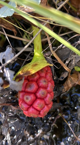
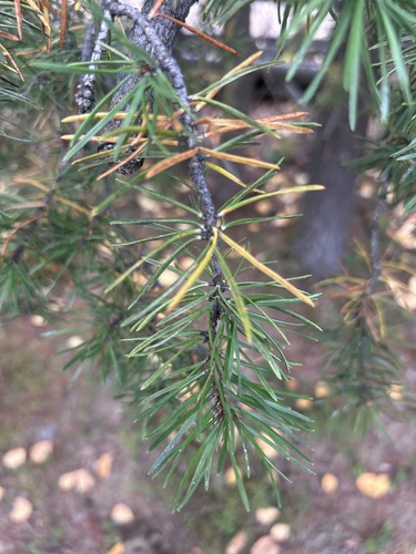
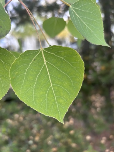
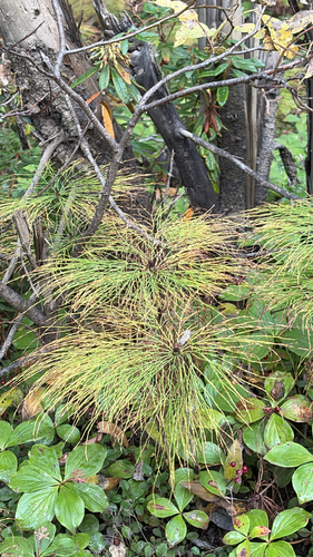
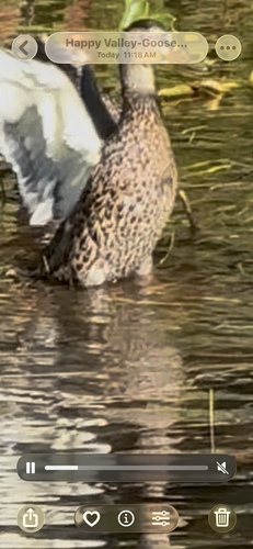
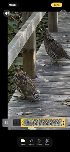
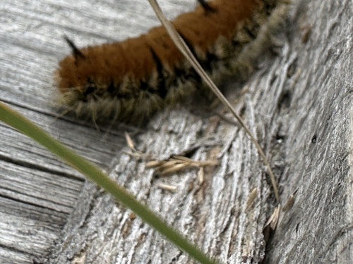
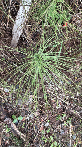
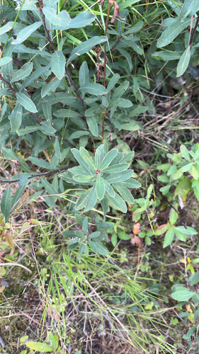
Research-grade observations from iNaturalist (within ~15 mi).
Events
Gallery
Official Identifiers
StatCan — Statistics Canada
- SGC code
- 1010025
- Population (Wikidata)
- 8,109
- Wikidata
- Q1266964
Standard Geographical Classification (SGC) via Wikidata P3012
Sources
- • Wikipedia
- • Wikidata
- • iNaturalist
- • StatCan — Statistics Canada — Standard Geographical Classification (SGC) via Wikidata P3012