Browse / Canada / Ontario / Hastings
Hastings
Ontariovillage
Demographic figures from Statistics Canada. Overview below cites Wikipedia and may reference a different year.
City facts
Sister cities
Facts from Wikidata (CC0).
Overview
Hastings is a village that lies in Ontario, Canada. Up-to-date population figures for this locality are not available in the open datasets we monitor. Located at 44.309°, -77.957°, Hastings occupies a temperate portion of the northern hemisphere. The location receives about 1,337 kWh/m² of solar irradiance per year and sunshine for roughly 52% of daylight hours. Climatically, locations at this latitude tend to experience four distinct seasons with warm summers and cold winters. Open-data panels below dive into population trends, climate normals, environmental indicators and nearby places.
Summary composed automatically from structured open data on this page. See our Terms for details.
History & geography
History
The first mention of Hastings is from the late 8th century in the form Hastingas. This is derived from the Old English tribal name Hæstingas, meaning 'the constituency (followers) of Hæsta'. Symeon of Durham records the victory of Offa in 771 over the Hestingorum gens, that is, "the people of the Hastings tribe." Hastingleigh in Kent was named after that tribe. The place name Hæstingaceaster is listed in the Anglo-Saxon Chronicle entry for 1050, and may be an alternative name for Hastings. However, the absence of any archaeological remains of or documentary evidence for a Roman fort at Hastings suggest that Hæstingaceaster may refer to a different settlement, most likely that based on the Roman remains at Pevensey. Evidence of prehistoric settlements is present at the town site; flint arrowheads and Bronze Age artefacts have been found. Iron Age forts were excavated on both the East and West Hills. This suggests that the inhabitants moved early to the safety of the valley in between the forts. The settlement was already based on the port when the Romans arrived in Britain for the first time in 55 BC. At this time, they began to exploit the iron (Wealden rocks provide a plentiful supply of the ore), and shipped it out by boat. Iron was worked locally at Beauport Park, to the north of the town. It employed up to one thousand men and is considered to have been the third-largest mine in the Roman Empire. There was also a possible iron-working site near Blacklands Church in the town – the old name of 'Ponbay Bridge' for a bridge that used to exist in the area is a corruption of 'Pond Bay' as suggested by Thomas Ross (Mayor of Hastings and author of an 1835 guide book). With the departure of the Romans, the town suffered setbacks. The Beauport site was abandoned, and…
Geography
Hastings is situated where the sandstone beds, at the heart of the Weald, known geologically as the Hastings Sands, meet the English Channel, forming tall cliffs to the east of the town. Hastings Old Town is in a sheltered valley between the East Hill and West Hill (on which the remains of the Castle stand). In Victorian times and later the town has spread westwards and northwards, and now forms a single urban centre with the more suburban area of St Leonards-on-Sea to the west. Roads from the Old Town valley lead towards the Victorian area of Clive Vale and the former village of Ore, from which "The Ridge", marking the effective boundary of Hastings, extends north-westwards towards Battle. Beyond Bulverhythe, the western end of Hastings is marked by low-lying land known as Glyne Gap, separating it from Bexhill-on-Sea. The sandstone cliffs have been the subject of considerable erosion in relatively recent times: much of the Castle was lost to the sea before the present sea defences and promenade were built, and a number of cliff-top houses are in danger of disappearing around the nearby village of Fairlight. The beach is mainly shingle, although wide areas of sand are uncovered at low tide. The town is generally built upon a series of low hills rising to above sea level at "The Ridge" before falling back in the river valley further to the north. There are three Sites of Special Scientific Interest within the borough; Marline Valley Woods, Combe Haven and Hastings Cliffs To Pett Beach. Marline Valley Woods lies within the Ashdown ward of Hastings. It is an ancient woodland of Pedunculate oak—hornbeam which is uncommon nationally. Sussex Wildlife Trust own part of the site. Combe Haven is another site of biological interest, with alluvial meadows, and the largest…
Excerpted from the corresponding Wikipedia article (CC BY-SA).
Geography
Coordinates & boundaries from the US Census TIGER/Line shapefiles.
Climate
Air quality
Walkability
Amenities nearby
Wildlife & biodiversity
Earthquake history
Photos
Sights & places nearby
Notable people from here
Nearby places in Ontario
Geography & sun
Elevation, sunrise/sunset and daylight from Open-Meteo. Solar climatology from NASA POWER.
Nearby airports
Public attention
Pageview totals from the Wikimedia Pageviews API.
Books about Hastings


Search results from Open Library.
Recent natural events nearby
Ground air-quality sensors
Recently spotted species
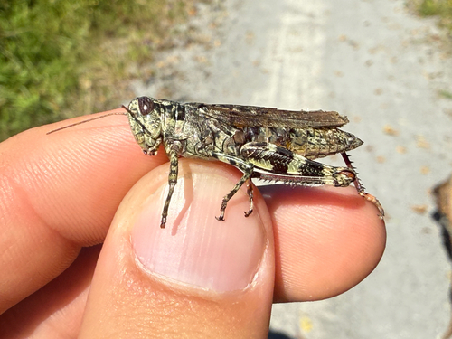
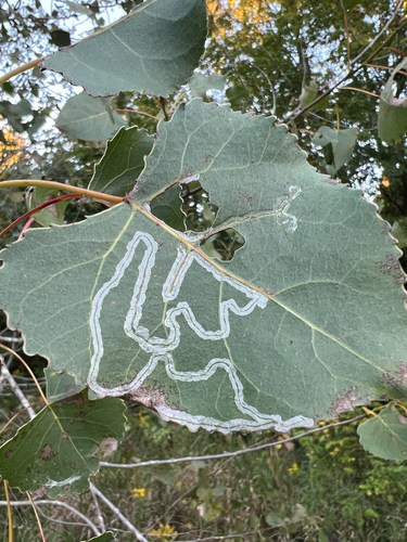
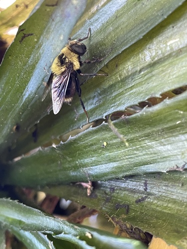
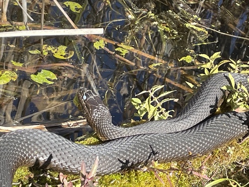
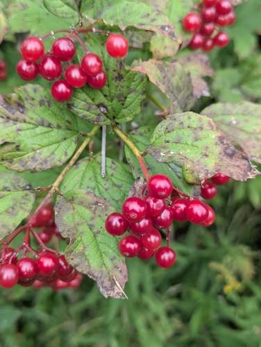
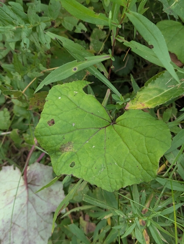
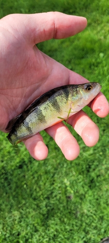
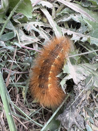

Research-grade observations from iNaturalist (within ~15 mi).
Events
Gallery
Sources
- • Wikipedia
- • Wikidata
- • iNaturalist
- • Open-Meteo / sunrise-sunset.org
- • Wikipedia Pageviews API
- • Open Library