Browse / Canada / Saskatchewan / Hazlet
Hazlet
Saskatchewanvillage

Hazlet
Demographic figures from Statistics Canada. Overview below cites Wikipedia and may reference a different year.
City facts
Facts from Wikidata (CC0).
Overview
Hazlet is a village in the Canadian province of Saskatchewan within the Rural Municipality of Pittville No. 169 and Census Division No. 8. The village is located northwest of the city of Swift Current near the Great Sand Hills.
Read more on WikipediaHistory & geography
History
Hazlet was founded in 1928 after the arrival of the Canadian Pacific Railway. Hazlet incorporated as a village on January 1, 1963.
Excerpted from the corresponding Wikipedia article (CC BY-SA).
Geography
Coordinates & boundaries from the US Census TIGER/Line shapefiles.
Climate
Air quality
Walkability
Amenities nearby
Wildlife & biodiversity
Most-observed species
- Red-winged BlackbirdAgelaius phoeniceus (Linnaeus, 1766) · Aves47
- MallardAnas platyrhynchos Linnaeus, 1758 · Aves46
- Common GrackleQuiscalus quiscula (Linnaeus, 1758) · Aves42
- Mourning DoveZenaida macroura (Linnaeus, 1758) · Aves42
- American RobinTurdus migratorius Linnaeus, 1766 · Aves40
- Barn SwallowHirundo rustica Linnaeus, 1758 · Aves37
- Eastern KingbirdTyrannus tyrannus (Linnaeus, 1758) · Aves35
- Yellow-headed BlackbirdXanthocephalus xanthocephalus (Bonaparte, 1826) · Aves34
Citizen-science & research observations from the Global Biodiversity Information Facility (GBIF).
Earthquake history
Events from the USGS Earthquake Catalog (global) (FDSN Event Web Service).
Photos
Sights & places nearby
Notable people from here
Geography & sun
Elevation, sunrise/sunset and daylight from Open-Meteo. Solar climatology from NASA POWER.
Nearby airports
Public attention
Pageview totals from the Wikimedia Pageviews API.
Books about this place
Recent natural events nearby
- Wildfire Middle Coulee, Chouteau, MontanaWildfires · 2026-08-02 · 214 mi
Wildfires, storms and other events from NASA EONET (last 12 months, within 250 mi).
Ground air-quality sensors
Recently spotted species
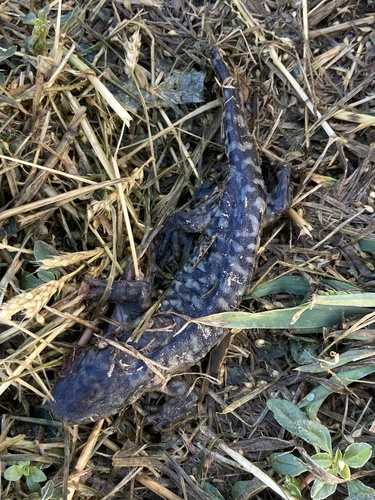
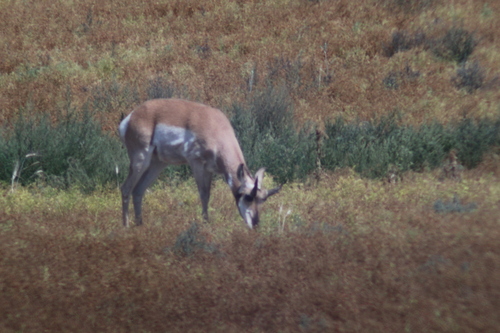
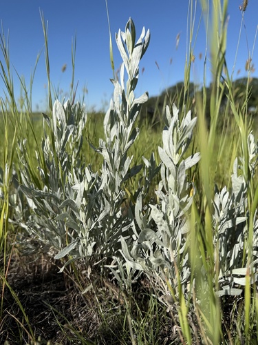
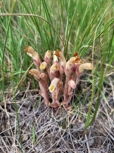
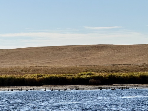
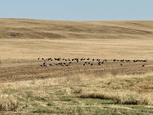
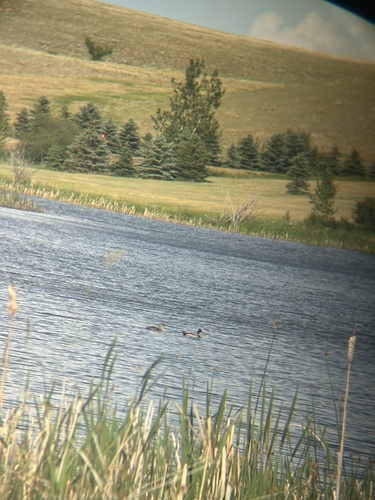
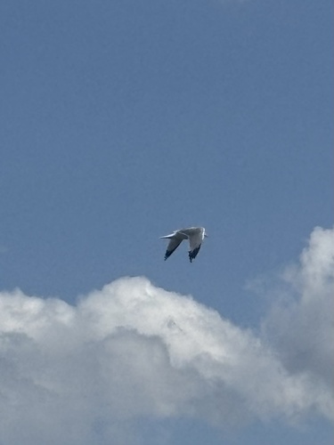
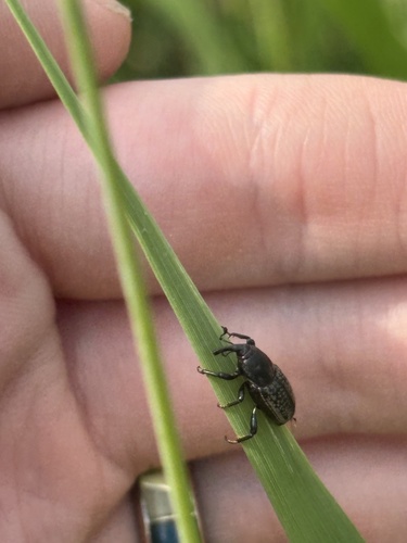
Research-grade observations from iNaturalist (within ~15 mi).
Events
Gallery
Official Identifiers
StatCan — Statistics Canada
- SGC code
- 4708029
- Wikidata
- Q2003823
Standard Geographical Classification (SGC) via Wikidata P3012
Sources
- • Wikipedia
- • Wikidata
- • USGS Earthquake Catalog (global feed)
- • GBIF (Global Biodiversity Information Facility)
- • iNaturalist
- • Open-Meteo / sunrise-sunset.org
- • Wikipedia Pageviews API
- • NASA EONET
- • StatCan — Statistics Canada — Standard Geographical Classification (SGC) via Wikidata P3012