Browse / United States / California / Hercules
Hercules
Californiacity

Hercules
Total population
26,302
Median home value
$769,400
Bachelor's+
Median income
$129,397
Founded
1900
Demographic figures from US Census Bureau · ACS 5-year estimates. Overview below cites Wikipedia and may reference a different year.
City facts
Sister cities
Facts from Wikidata (CC0).
Overview
Hercules is a city in western Contra Costa County, California, United States. Situated along the coast of San Pablo Bay, it is located in the eastern region of the San Francisco Bay Area, approximately 10 miles (16 km) north of Berkeley. As of the 2020 census, its population was 26,016, according to the United States Census Bureau. The site of Hercules was first developed in 1881 as a manufacturing facility of the California Powder Works for the production of its patented dynamite formulation, Hercules powder. In 1882, the Hercules Powder Company was incorporated and assumed responsibility for the Hercules site. It was one of several explosive manufacturers that were active along the Pinole shoreline in the late 19th to the mid-20th century. The small company town that grew up near the facility subsequently became known as "Hercules", and was incorporated at the end of 1900. Starting in the 1970s, Hercules was heavily redeveloped as suburban bedroom community that lies along the I-80 corridor in Western Contra Costa County. It has a very ethnically diverse population.
Read more on WikipediaHistory & geography
History
Contra Costa County’s first inhabitants arrived in the area six to ten thousand years ago, including the Bay Miwok people and the Huichin Ohlone People; however there were no known significant settlements in the Hercules area. The land that would become Hercules was part of a tract of land known as “Pinol y Cañada del Hambre” which was granted in 1823 to Ygnacio Martinez (for whom the city of Martinez, California was named) for his service as the commandant of the Presidio of San Francisco. This grant was reconfirmed in 1842 as Rancho El Pinole. In 1848, this area became part of the United States with the rest of California. Contra Costa County was created in 1850 as one of California's original 27 counties. The Central Pacific Railroad (later part of Southern Pacific) ran the first rail lines across Hercules’ waterfront in late 1878, as the main route for the Transcontinental Railroad was realigned via train ferry through the purpose-built town of Port Costa then to Richmond and Berkeley to connect at the Oakland Pier. The Atchison, Topeka and Santa Fe Railroad came through the area around 1899. The city's history was primarily shaped by the Hercules Powder Company, named after its main product “Hercules powder”, a specially patented (1874) formulation of dynamite, in turn named after the Roman hero. It began as the California Powder Works with locations in Golden Gate Park and Santa Cruz, California, but the expansion of San Francisco forced the company to find a more remote location for the dangerous process of manufacturing explosives. Hercules's isolated location at the time, plus its proximity to rail and water transportation along San Pablo Bay, made it an ideal choice. In 1879, the company, backed by DuPont and the Laflin & Rand Powder Company created the…
Geography
Hercules is located at , at the southeastern shore of the San Pablo Bay. According to the United States Census Bureau, the city has a total area of , of which is land and (65.87%) is water. Hercules is on the southeastern shores of San Pablo Bay, roughly four miles southwest of the Carquinez Bridge. By road, Hercules is roughly 12 miles north of Berkeley, 18 miles north of Oakland and 22 miles northeast of San Francisco. The shoreline at this location runs northeast to southwest. Refugio Creek runs through the middle of Hercules in a northwesterly direction and empties at the shoreline. The town is bisected by Interstate 80, which runs parallel and roughly one mile inland from the coast. I-80 is the main highway between San Francisco and Sacramento and intersects California State Route 4 within the city limits. Major arterial roads include San Pablo Road, which lies to the north of I-80 (this road is also Historic US 40, which was the predecessor to I-80) and Refugio Valley Road, which runs in a northwest–southeast direction along Refugio Creek. The city has a predominantly suburban character dominated by two story detached and attached homes and one story commercial buildings divided into various subdivisions along well landscaped roads. The waterfront, which has a planned rail/ferry station, is zoned for higher density transit oriented development with community retail, and a number of 3 to 5 story mixed-use developments have been constructed there since 2015. The portion inland of Highway 80, which extends 4 miles inland mainly gently rolling hills along Refugio Valley Road, is primarily suburbs built between the 1970s and 1980s. It includes neighborhoods known to the locals as “the Birds”, “the Trees and Flowers”, “the Gemstones”, “the Astronauts”, and “the…
Excerpted from the corresponding Wikipedia article (CC BY-SA).
Demographics & economy
Race & ethnicity
Source: US Census Bureau — American Community Survey, 5-year estimates.
Geography
Coordinates & boundaries from the US Census TIGER/Line shapefiles.
Climate
Current forecast
Forecast for Hercules, CA from NOAA NWS API.
Air quality
Industrial & pollution facilities
Natural hazard risk
Health (adults)
Walkability
Amenities nearby
Wildlife & biodiversity
Schools
Earthquake history
Photos
Sights & places nearby
Notable people from here


People born within ~10 km, from Wikidata (CC0). Click any name for their Wikipedia article.
Nearby places in California
- Montalvin Manor2.8 mi away
- El Sobrante3.4 mi away
- Crockett4.3 mi away
- East Richmond Heights5.4 mi away
- Benicia8.1 mi away · pop. 26,749
- Alhambra Valley9.1 mi away · pop. 979
- American Canyon11 mi away · pop. 21,837
- Corte Madera13.4 mi away
- Black Point-Green Point14 mi away
- Contra Costa Centre14.4 mi away · pop. 6,893
- Moraga15.1 mi away
- Castle Hill16.1 mi away
Geography & sun
Elevation, sunrise/sunset and daylight from Open-Meteo. Solar climatology from NASA POWER.
Nearby airports
Public attention
Pageview totals from the Wikimedia Pageviews API.
Books about Hercules

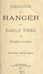
Search results from Open Library.
Recent natural events nearby
- Wildfire FELIZ, Mendocino, CaliforniaWildfires · 2026-08-01 · 82 mi
- Wildfire GANN, Calaveras, CaliforniaWildfires · 2026-08-03 · 83 mi
- Wildfire LUCAS, Lake, CaliforniaWildfires · 2026-09-10 · 92 mi
- Wildfire LUCAS, Lake, CaliforniaWildfires · 2026-09-10 · 92 mi
- Wildfire Timber, Monterey, CaliforniaWildfires · 2026-08-09 · 129 mi
- Wildfire DOME, Mariposa, CaliforniaWildfires · 2026-09-15 · 149 mi
- Wildfire Plaskett, Monterey, CaliforniaWildfires · 2026-08-26 · 154 mi
- Wildfire FLORISTON, Nevada, CaliforniaWildfires · 2026-09-16 · 155 mi
Wildfires, storms and other events from NASA EONET (last 12 months, within 250 mi).
Ground air-quality sensors
Recently spotted species
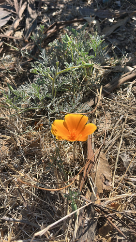
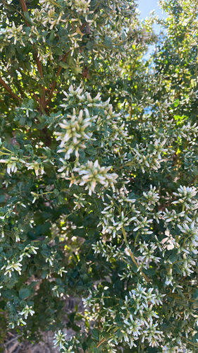
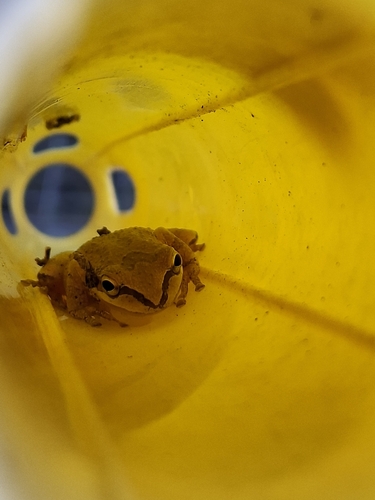
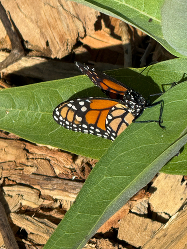
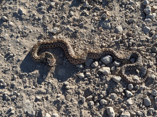
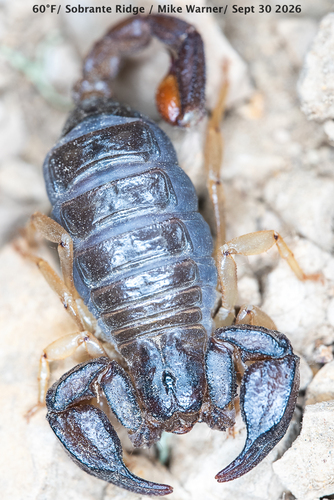
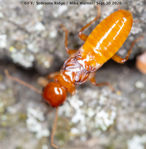
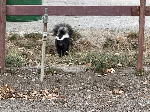
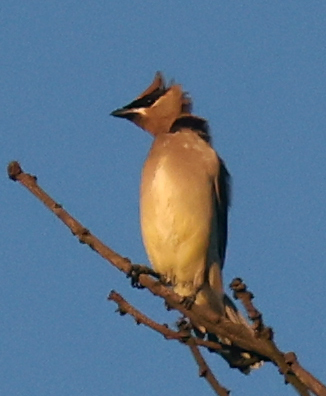
Research-grade observations from iNaturalist (within ~15 mi).
Nearest stream gauge
Events
Gallery
Sources
- • Wikipedia
- • US Census Bureau (ACS 5-year estimates)
- • NOAA National Weather Service
- • Wikidata
- • iNaturalist
- • Open-Meteo / sunrise-sunset.org
- • Wikipedia Pageviews API
- • Open Library
- • NASA EONET