Browse / Canada / Nova Scotia / Hilden
Hilden
Nova Scotiavillage
Demographic figures from Statistics Canada. Overview below cites Wikipedia and may reference a different year.
City facts
Sister cities
Facts from Wikidata (CC0).
Overview
Set in Nova Scotia, Canada, Hilden is recorded in open geodata as a village. Coordinates of 45.307°, -63.293° situate Hilden in the temperate zone of the northern hemisphere. Up-to-date population figures for this locality are not available in the open datasets we monitor. Solar-resource estimates put the area at about 1,242 kWh/m² of solar irradiance per year with sunshine for roughly 49% of daylight hours. Its latitude implies a climate characterised by four distinct seasons with warm summers and cold winters. The remainder of this page draws on open public data to describe the area's demographics, climate, environment and nearby amenities.
Summary composed automatically from structured open data on this page. See our Terms for details.
History & geography
History
Hilden was named in written sources already in the 11th century. In the 13th century in the centre of the early settlement a Romanesque church was erected, which during the Reformation became Protestant. Later a second church for Catholics had been built. In the time of industrialization many factories especially in textiles, engineering and painting had been founded. In both World Wars the people of Hilden had many losses, a list of the soldiers' names is written on a memorial. During the Nazi rule Jews and opponents of the regime have been persecuted. In the factories forced labourers, allegedly 3000, have been employed. In 1945 American troops, then units of the British Army of the Rhine had occupied the town, stationed in the local barracks erected in 1937. The relationship between the population and the British soldiers were good especially after Germany's accession to NATO in May 1955, when former adversaries became allies. The initiative of the regiment to get in touch with local citizens led to the twin partnership Hilden - Warrington (1968), to school exchanges and various contacts between people. In March 1968 the British troops left Hilden, having been replaced by German military units which took over the barracks. In the aftermath of the War refugees from East Germany found a new home in Hilden nearly doubling its population. In 1956 the Council of Hilden granted patronage to the association of refugees from the town and district of Wohlau, Lower Silesia. They held several meetings in Hilden with more than 1000 former Wohlau citizens having received refuge in various parts of Germany.
Geography
With approx. 55,000 inhabitants, Hilden is the fourth largest city in the District of Mettmann. In contrast to the surrounding cities, it has no suburban districts or incorporated villages. Hilden has a compact urbanized city centre and borders some smaller woods.
Excerpted from the corresponding Wikipedia article (CC BY-SA).
Geography
Coordinates & boundaries from the US Census TIGER/Line shapefiles.
Climate
Air quality
Walkability
Amenities nearby
Wildlife & biodiversity
Earthquake history
Photos
Sights & places nearby
Notable people from here


People born within ~10 km, from Wikidata (CC0). Click any name for their Wikipedia article.
Geography & sun
Elevation, sunrise/sunset and daylight from Open-Meteo. Solar climatology from NASA POWER.
Nearby airports
Public attention
Pageview totals from the Wikimedia Pageviews API.
Books about this place
Recent natural events nearby
Ground air-quality sensors
Recently spotted species
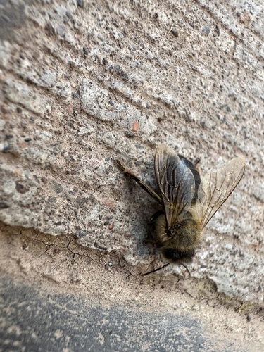
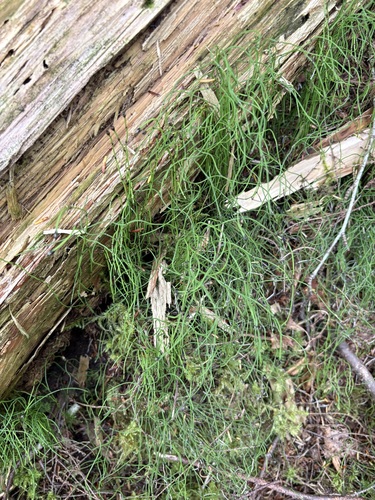
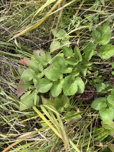
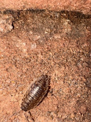

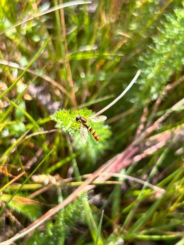
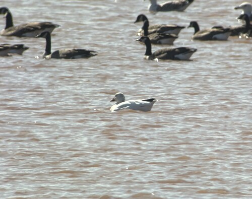


Research-grade observations from iNaturalist (within ~15 mi).
Events
Gallery
Sources
- • Wikipedia
- • Wikidata
- • iNaturalist
- • Open-Meteo / sunrise-sunset.org
- • Wikipedia Pageviews API