Browse / Canada / Alberta / Hinton
Hinton
Albertatown

Hinton
Total population
9,882
Founded
1911
Air quality index
Demographic figures from Statistics Canada. Overview below cites Wikipedia and may reference a different year.
City facts
Sister cities
Facts from Wikidata (CC0).
Overview
Hinton is a town in the foothills of Alberta, Canada, with a population of 9,817. It is in Yellowhead County, 81 km (50 mi) northeast of Jasper and about 284 km (176 mi) west of Alberta's capital city, Edmonton, at the intersection of the Yellowhead and Bighorn Highways. Situated on the south bank of the Athabasca River, Hinton is on Treaty 6 territory.
Read more on WikipediaHistory & geography
History
The area around present day Hinton deglaciated 12,800–11,600 BCE. Archeological sites up the Athabasca River from Hinton show repeated habitation from 8,000 BCE until approximately 1500 AD. Other sites around Hinton demonstrate that the foothills were also an important travel and trade corridor for Indigenous peoples for thousands of years prior to European contact, dating to at least 7,000 BCE. Before Europeans arrived in North America, the upper Athabasca region was relatively sparsely inhabited by groups speaking Athabascan/Dene languages (including the Tsuut'ina, Tsa'tinne, and Tse'khene), Siouan languages (specifically Nakoda) and, potentially, Salish languages (such as Secwepemctsín, now present west of the Rockies). European settlement in eastern Canada resulted in waves of western migration of Indigenous groups in the 18th and 19th centuries including Algonquian language-speaking groups (in particular Woodland Cree and Salteaux), Iroquoian speakers, and Métis. Around the start of the 19th century, furs supplied by these groups, and a desire to access the Columbia River, encouraged the Hudson's Bay Company and North West Company to establish trade and supply posts in the vicinity of the Divide. David Thompson's guide Thomas the Iroquois led a brigade over Athabasca Pass, establishing the York Factory Express. Company employees would continue to pass through the area on the Athabasca River for the next half century, primarily to transport correspondence and move personnel between districts. The Jasper House post also collected furs traded by the local Indigenous people. This population, estimated to be about 200 in 1836, was a cultural mix of Iroquois, Cree, Dane-zaa, and Métis. Present-day Hinton was within the area that they hunted, travelled, and camped:…
Geography
Hinton is situated along a stretch of the Athabasca River valley, on the southeast side of the river. The western town boundary is Highway 40 South. Highway 16 and the CN Rail tracks run side-by-side, approximately parallel to the river and divide the town lengthwise – the area downhill of the tracks and highway, towards the river, is generally referred to as the Valley District and the area above the tracks and highway is called The Hill District. Hinton has nine districts: Eaton, Hardisty, Hillcrest, Miette, Mountain View, Riverside, Terrace Heights, Thompson Lake, and West Riverside. Hinton lies in the Alberta Plateau Benchlands physiographic subdivision of the Interior Plains. Soils around town are influenced by deposits of carbonate-rich, wind-blown sand and silt which usually have surface textures of loam, sandy loam or silt loam. They are moderately alkaline, in contrast to the varying, mostly moderate acidity which prevails beyond the zone of calcareous aeolian material. Under the Köppen climate classification, Hinton is classified as Dfc: subarctic, a subcategory of the continental climates. This is defined as having its coldest month averaging below , three months averaging above , and no season contributing more than 70% of the annual precipitation. The closest Environment Canada weather station was located at Entrance, about southwest of Hinton. It supplied climate normals data up to 2010. Current Environment Canada weather forecasts and climate normals data up to 2020 rely on the Jasper Warden Station near Maligne Canyon, southwest of Hinton.
Excerpted from the corresponding Wikipedia article (CC BY-SA).
Geography
Coordinates & boundaries from the US Census TIGER/Line shapefiles.
Climate
10-year averages from ERA5 reanalysis (Open-Meteo).
Air quality
Current readings from Open-Meteo Air Quality API (Copernicus CAMS European reanalysis).
Walkability
Amenities nearby
Wildlife & biodiversity
Most-observed species
- American CrowCorvus brachyrhynchos C.L.Brehm, 1822 · Aves484
- Blue JayCyanocitta cristata (Linnaeus, 1758) · Aves481
- Black-capped ChickadeePoecile atricapillus (Linnaeus, 1766) · Aves473
- Common RavenCorvus corax Linnaeus, 1758 · Aves464
- Red-breasted NuthatchSitta canadensis Linnaeus, 1766 · Aves464
- Black-billed MagpiePica hudsonia (Sabine, 1823) · Aves417
- American RobinTurdus migratorius Linnaeus, 1766 · Aves413
- Dark-eyed JuncoJunco hyemalis (Linnaeus, 1758) · Aves371
Citizen-science & research observations from the Global Biodiversity Information Facility (GBIF).
Earthquake history
Most recent
- M 4.6 — 2015-06-1334 km SSW of Fox Creek, Canada
- M 2.5 — 2008-01-3110 km NNW of Edson, Canada
Events from the USGS Earthquake Catalog (global) (FDSN Event Web Service).
Photos
Sights & places nearby
Notable people from here

People born within ~10 km, from Wikidata (CC0). Click any name for their Wikipedia article.
Nearby places in Alberta
Geography & sun
Elevation, sunrise/sunset and daylight from Open-Meteo. Solar climatology from NASA POWER.
Nearby airports
Public attention
Pageview totals from the Wikimedia Pageviews API.
Books about Hinton


Search results from Open Library.
Recent natural events nearby
Ground air-quality sensors
Recently spotted species
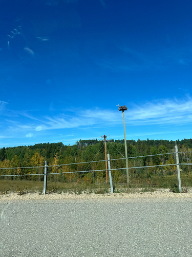
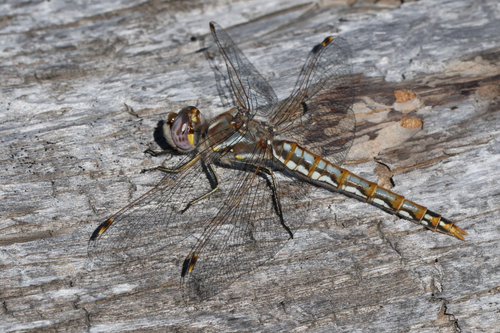
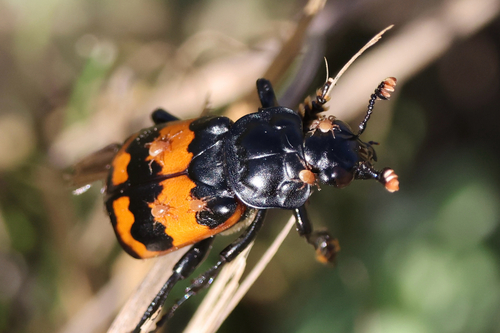
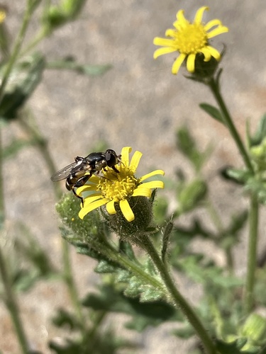
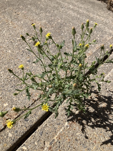
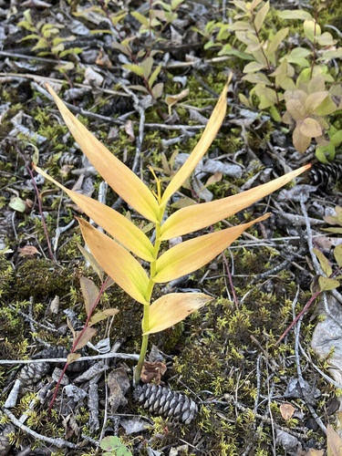
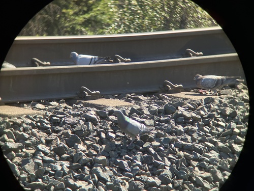
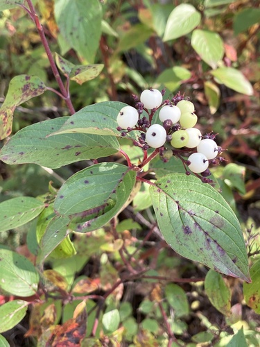
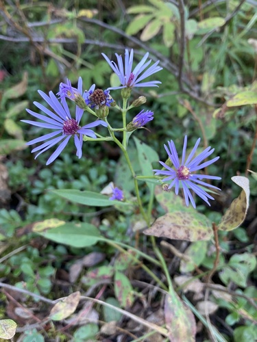
Research-grade observations from iNaturalist (within ~15 mi).
Events
Gallery
Official Identifiers
StatCan — Statistics Canada
- SGC code
- 4814019
- Population (Wikidata)
- 9,817
- Wikidata
- Q1016692
Standard Geographical Classification (SGC) via Wikidata P3012
Sources
- • Wikipedia
- • Open-Meteo (ERA5 reanalysis)
- • Wikidata
- • Open-Meteo Air Quality (CAMS)
- • USGS Earthquake Catalog (global feed)
- • GBIF (Global Biodiversity Information Facility)
- • iNaturalist
- • Open-Meteo / sunrise-sunset.org
- • Wikipedia Pageviews API
- • Open Library
- • StatCan — Statistics Canada — Standard Geographical Classification (SGC) via Wikidata P3012