Browse / Canada / British Columbia / Honeymoon Bay
Honeymoon Bay
British Columbiahamlet
Demographic figures from Statistics Canada. Overview below cites Wikipedia and may reference a different year.
City facts
Overview
Found in British Columbia, Canada, Honeymoon Bay is classified as a hamlet in public datasets. Coordinates of 48.817°, -124.175° situate Honeymoon Bay in the temperate zone of the northern hemisphere. Up-to-date population figures for this locality are not available in the open datasets we monitor. Its latitude implies a climate characterised by four distinct seasons with warm summers and cold winters. Open solar datasets indicate about 1,200 kWh/m² of solar irradiance per year, combined with sunshine for roughly 47% of daylight hours. Continue scrolling for population, climate, environmental and points-of-interest data drawn from public sources.
Summary composed automatically from structured open data on this page. See our Terms for details.
History & geography
Geography
Coordinates & boundaries from the US Census TIGER/Line shapefiles.
Climate
Air quality
Walkability
Amenities nearby
Wildlife & biodiversity
Earthquake history
Photos
Sights & places nearby
Notable people from here

People born within ~10 km, from Wikidata (CC0). Click any name for their Wikipedia article.
Nearby places in British Columbia
- Glenora20 mi away
- Cassidy20.9 mi away · pop. 971
- S’amuna’ / Somena21.3 mi away
- Port Renfrew21.5 mi away · pop. 262
- Xwulqw’selu / Koksilah22.7 mi away
- Kwa’mutsun / Quamichan23.1 mi away
- Lhumlhumuluts’ / Clemclemluts24.1 mi away
- Qw’umiyiqun / Comiaken24.3 mi away
- Shawnigan Lake27.6 mi away · pop. 8,127
- River Jordan27.7 mi away
- Mill Bay30.4 mi away · pop. 1,546
- Nanoose Bay31.4 mi away · pop. 5,471
Geography & sun
Elevation, sunrise/sunset and daylight from Open-Meteo. Solar climatology from NASA POWER.
Nearby airports
Public attention
Pageview totals from the Wikimedia Pageviews API.
Books about this place
Recent natural events nearby
- Wildfire Electric, Whatcom, WashingtonWildfires · 2026-08-22 · 125 mi
- Wildfire Thunder Creek, Skagit, WashingtonWildfires · 2026-08-22 · 145 mi
- Wildfire SISI, Chelan, WashingtonWildfires · 2026-08-14 · 156 mi
- Wildfire KING, Kittitas, WashingtonWildfires · 2026-08-19 · 164 mi
- Wildfire GOAT, Kittitas, WashingtonWildfires · 2026-08-22 · 172 mi
- Wildfire SINLAHEKIN, Okanogan, WashingtonWildfires · 2026-07-26 · 204 mi
- Wildfire PEARL HILL, Douglas, WashingtonWildfires · 2026-07-25 · 217 mi
- Wildfire RANSIER, Yakima, WashingtonWildfires · 2026-07-26 · 233 mi
Wildfires, storms and other events from NASA EONET (last 12 months, within 250 mi).
Ground air-quality sensors
Recently spotted species
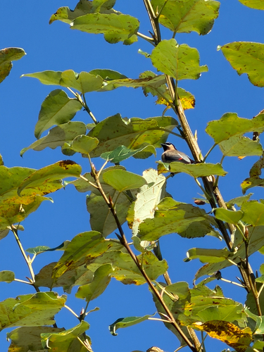
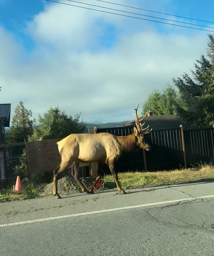
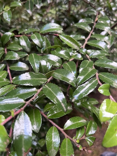
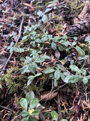
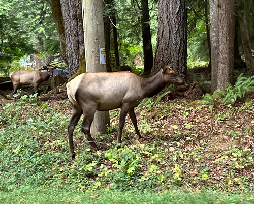
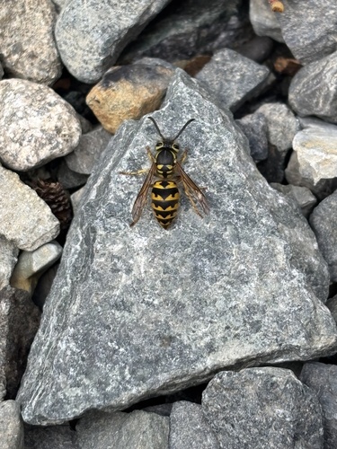
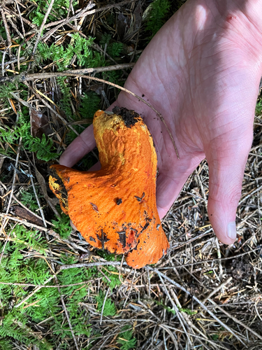
Research-grade observations from iNaturalist (within ~15 mi).
Events
Gallery
Sources
- • Wikidata
- • iNaturalist
- • Open-Meteo / sunrise-sunset.org
- • Wikipedia Pageviews API
- • NASA EONET