Browse / Canada / British Columbia / Houston
Houston
British Columbiavillage

Houston
Demographic figures from Statistics Canada. Overview below cites Wikipedia and may reference a different year.
City facts
Facts from Wikidata (CC0).
Overview
Houston is a forestry, mining and tourism town in the Bulkley Valley of the Northern Interior of British Columbia, Canada. Its population as of 2021 was 3,052, with approximately 2,000 in the surrounding rural area. It is known as the "steelhead capital" and it has the world's largest fly fishing rod. Houston's tourism industry is largely based on ecotourism and Steelhead Park, situated along the Yellowhead Highway. Houston is named in honour of the pioneer newspaperman John Houston.
Read more on WikipediaHistory & geography
History
The Morice area was first charted by amateur historian, cartographer and geologist, Reverend Adrien-Gabriel Morice (1859-1938) known to northern British Columbian locals as "Father Morice." In 1880, Morice came to British Columbia as a Catholic missionary to the native people and was one of the first 'white men' to see most of the area. Morice wrote The History of the Northern Interior of British Columbia (formerly New Caledonia) [1660 to 1880]. The Indigenous people were initially known as Carrier Indians, but today are more commonly referred to as the Wet'suwet'en (sometimes spelled Wit'suwit'en) and speak a language commonly referred to as Dakeł (Northern Athabaskan or Na-Dene language). The Morice River is called "Wet-zuhn-kwa" by the Wet'suwet'en people because of the bluish-green colour of the water. Wet-zuhn-kwa produces fresh water species like rainbow trout, cutthroat trout, and Dolly Varden trout (bull trout). Pacific salmon species include Chinook salmon (spring or king salmon), sockeye salmon, pink salmon (humpies or humpbacks), coho salmon, and steelhead salmon, an anadromous form of the coastal rainbow trout. The area is also rich in wildlife as it is not uncommon to spot moose, deer, black bear, grizzly bear, cougars and so on. Nanika River feeds Morice Lake and produces sockeye salmon. In the 1970s, the proposed Kemano Completion Project threatened to dam Nanika River. The project was eventually shelved. Morice River is a tributary of the Skeena river system, which is the second-largest system in BC that enters the Pacific Ocean at Prince Rupert. In 1983, a huge forest-fire that started at Parrot Lakes threatened the community of Houston. A campfire being used by two tourists from Switzerland got out of control. The fire became known as the "Swiss…
Geography
West of Houston are Telkwa (), Smithers (), Witset (), Old Hazelton, New Hazelton (), Terrace (), and Prince Rupert (). East of Houston are Topley (), Granisle (), Burns Lake (), Fraser Lake (), and Prince George (). Houston is located near the confluence of the Bulkley River and Morice River approximately south of Smithers along Highway 16. Buck Creek also joins the Bulkley River near the community by the local mall. Historically, Buck Creek formed a delta where most of the downtown is located. The delta was channelled and dyked which probably led to the downfall and destruction of important, rearing habitat of young salmon produced in that stream. The area is in a rain shadow of the Coast Mountains, however due to being dominated by a low pressure region, Houston receives substantial cloud cover and a mid-range volume of precipitation annually. Morice Lake is located south along the Morice River Forest Service Road (FSR). Nestled into the Coast Mountains, many Houstonites use this area for recreational camping and fishing. The Bulkley, a small stream running through Houston, and the Morice River join just west of Houston. At the point of their joining they become the Bulkley River, not the Morice despite the fact the Morice is larger. This was done by Poudrier, a government cartographer who, it is rumoured, never saw the region. The Bulkley is named for American engineer, Colonel Charles S. Bulkley, one of the surveyors constructing the Russian–American Telegraph line through the Pleasant Valley. This was in the late 1800s. Nearby communities: *Barrett *Buck Flats *Burns Lake *Decker Lake *Duncan Lake (Broman Lake) *Endako *Forestdale *Fort Babine *Fort Fraser *François Lake *Fraser Lake *Granisle *Grassy Plains *Noralee *Old Fort *Palling *Perow *Quick *Rose…
Excerpted from the corresponding Wikipedia article (CC BY-SA).
Geography
Coordinates & boundaries from the US Census TIGER/Line shapefiles.
Climate
Air quality
Walkability
Amenities nearby
Wildlife & biodiversity
Earthquake history
Photos
Sights & places nearby
Notable people from here
Nearby places in British Columbia
Geography & sun
Elevation, sunrise/sunset and daylight from Open-Meteo. Solar climatology from NASA POWER.
Nearby airports
Public attention
Pageview totals from the Wikimedia Pageviews API.
Books about Houston


Search results from Open Library.
Recent natural events nearby
Ground air-quality sensors
Recently spotted species
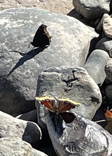
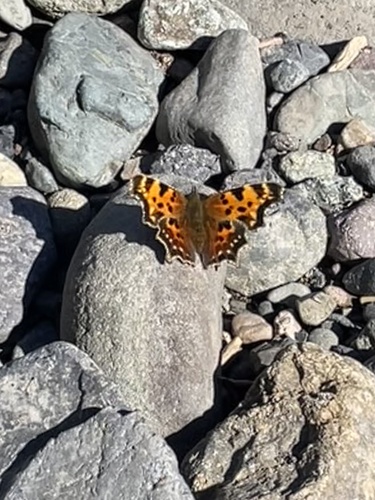
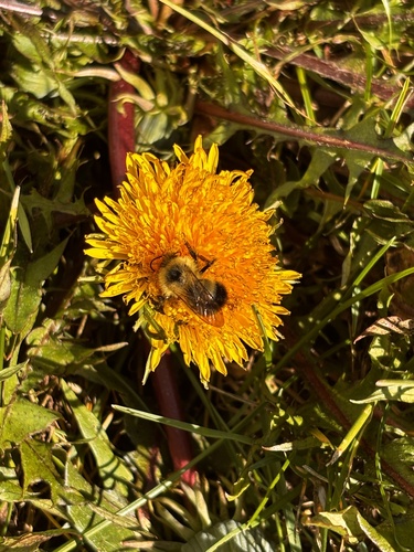
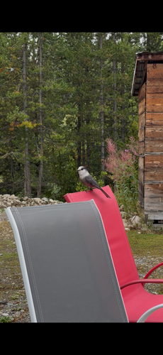
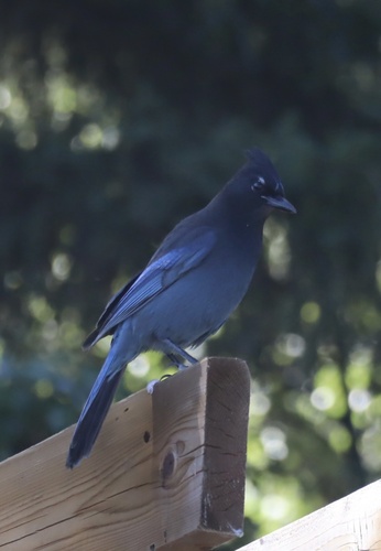
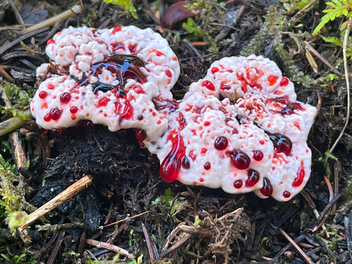
Research-grade observations from iNaturalist (within ~15 mi).
Events
Gallery
Official Identifiers
StatCan — Statistics Canada
- SGC code
- 5951034
- Wikidata
- Q1257381
Standard Geographical Classification (SGC) via Wikidata P3012
Sources
- • Wikipedia
- • Wikidata
- • iNaturalist
- • Open-Meteo / sunrise-sunset.org
- • Wikipedia Pageviews API
- • Open Library
- • StatCan — Statistics Canada — Standard Geographical Classification (SGC) via Wikidata P3012