Browse / United States / California / Hyampom
Hyampom
CaliforniaCDP

Hyampom
Total population
102
Median home value
$0
Bachelor's+
Median income
$0
Demographic figures from US Census Bureau · ACS 5-year estimates. Overview below cites Wikipedia and may reference a different year.
City facts
Facts from Wikidata (CC0).
Overview
Hyampom is an unincorporated community and census-designated place (CDP) in Trinity County, California, United States.
Read more on WikipediaHistory & geography
History
The name "Hyampom" is said to have derived from a Wintu language term , meaning "slippery place." Hyampom was home to the Whilkut, Chimariko, and Northern Wintun Native American tribes. The explorer Jedediah Strong Smith visited Hyampom in April 1828. The first non-native settler in the area was Hank Young, who moved to Hyampom on January 12, 1855.
Geography
According to the United States Census Bureau, the CDP covers an area of , all land. This region experiences warm and dry summers, with no average monthly temperature above 71.6 °F. According to the Köppen climate classification system, Hyampom has a warm-summer Mediterranean climate, abbreviated "Csb" on climate maps. Despite the warm-summer classification, daily highs reach above 90 degrees Fahrenheit on almost all days in summer, but the marine-influenced night temperatures are almost always below 60 degrees and most often around 50. There is snow in the winter, but the elevation is too low for significant snowfall. The nearest large town, Hayfork, which is 700 feet above Hyampom at 2,200 feet, gets approximately 20 to 25 inches of snow per year, and the nearest comparable weather station, at Big Flat on the Trinity River, gets 6.7 inches per year. Precipitation totals around 40 to 45 inches a year.
Excerpted from the corresponding Wikipedia article (CC BY-SA).
Demographics & economy
Race & ethnicity
Source: US Census Bureau — American Community Survey, 5-year estimates.
Geography
Coordinates & boundaries from the US Census TIGER/Line shapefiles.
Climate
Current forecast
Forecast for Hyampom, CA from NOAA NWS API.
Air quality
Industrial & pollution facilities
Natural hazard risk
Health (adults)
Age-adjusted prevalence estimates from CDC PLACES (latest release).
Walkability
Amenities nearby
Wildlife & biodiversity
Most-observed species
- Steller's JayCyanocitta stelleri (Gmelin, 1788) · Aves260
- Dark-eyed JuncoJunco hyemalis (Linnaeus, 1758) · Aves252
- Western TanagerPiranga ludoviciana (A.Wilson, 1811) · Aves190
- Red-breasted NuthatchSitta canadensis Linnaeus, 1766 · Aves188
- Spotted TowheePipilo maculatus Swainson, 1827 · Aves180
- Hermit WarblerSetophaga occidentalis (J.K.Townsend, 1837) · Aves174
- Northern FlickerColaptes auratus (Linnaeus, 1758) · Aves142
- Lazuli BuntingPasserina amoena (Say, 1822) · Aves142
Citizen-science & research observations from the Global Biodiversity Information Facility (GBIF).
Schools
Earthquake history
Most recent
- M 2.8 — 2026-09-2119 km WSW of Petrolia, CA
- M 2.54 — 2026-09-1819 km W of Petrolia, CA
- M 3.52 — 2026-09-1620 km WSW of Petrolia, CA
- M 2.92 — 2026-09-1517 km WSW of Petrolia, CA
- M 2.63 — 2026-09-157 km E of Hydesville, CA
- M 3.63 — 2026-09-1021 km W of Petrolia, CA
Events from the USGS Earthquake Catalog (global) (FDSN Event Web Service).
Photos
Sights & places nearby
Notable people from here
Geography & sun
Elevation, sunrise/sunset and daylight from Open-Meteo. Solar climatology from NASA POWER.
Nearby airports
Public attention
Pageview totals from the Wikimedia Pageviews API.
Books about Hyampom
Search results from Open Library.
Recent natural events nearby
- Wildfire MP18, Humboldt, CaliforniaWildfires · 2026-08-07 · 37 mi
- Wildfire LUCAS, Lake, CaliforniaWildfires · 2026-09-10 · 99 mi
- Wildfire LUCAS, Lake, CaliforniaWildfires · 2026-09-10 · 99 mi
- Wildfire FELIZ, Mendocino, CaliforniaWildfires · 2026-08-01 · 114 mi
- Wildfire Fielder Mtn, Jackson, OregonWildfires · 2026-08-13 · 125 mi
- Wildfire Wrights Spring, Klamath, OregonWildfires · 2026-08-05 · 156 mi
- Wildfire Bug, Lassen, CaliforniaWildfires · 2026-08-08 · 191 mi
- Wildfire Hawk, Washoe, NevadaWildfires · 2026-08-22 · 200 mi
Wildfires, storms and other events from NASA EONET (last 12 months, within 250 mi).
Ground air-quality sensors
Recently spotted species
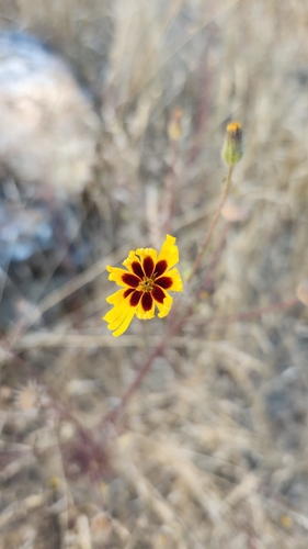
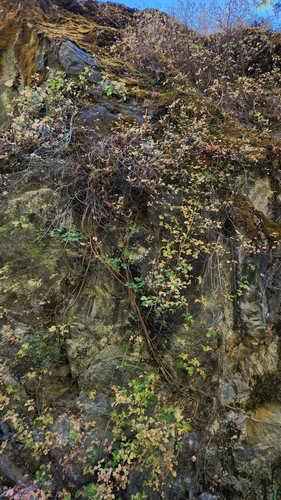
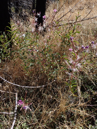
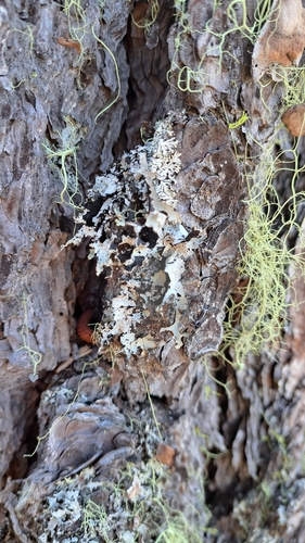
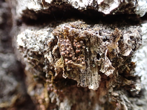
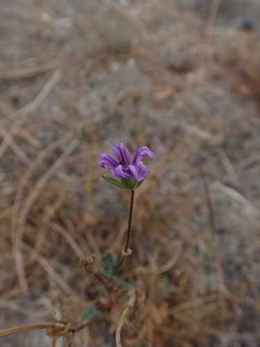
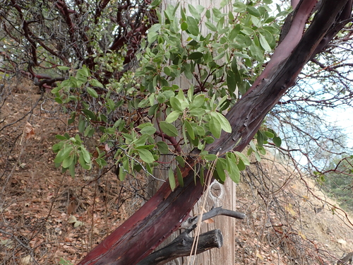
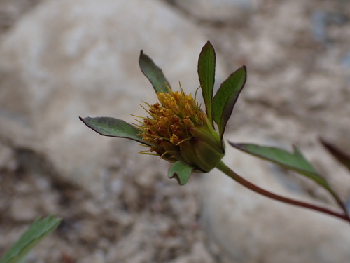
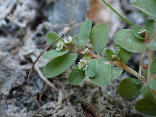
Research-grade observations from iNaturalist (within ~15 mi).
Nearest stream gauge
Live readings from USGS NWIS · measured 2026-10-01 16:30 UTC.
Events
Gallery
Sources
- • Wikipedia
- • US Census Bureau (ACS 5-year estimates)
- • NOAA National Weather Service
- • Wikidata
- • USGS Earthquake Catalog (global feed)
- • USGS NWIS (water data)
- • GBIF (Global Biodiversity Information Facility)
- • iNaturalist
- • CDC PLACES
- • Open-Meteo / sunrise-sunset.org
- • Wikipedia Pageviews API
- • Open Library
- • NASA EONET