Browse / Canada / New Brunswick / Inkerman
Inkerman
New Brunswickvillage
Demographic figures from Statistics Canada. Overview below cites Wikipedia and may reference a different year.
City facts
Facts from Wikidata (CC0).
Overview
Found in New Brunswick, Canada, Inkerman is classified as a village in public datasets. Detailed population figures are not currently catalogued in the open data sources we track. Inkerman maps to 47.667°, -64.825° — squarely within the temperate belt. The latitude suggests four distinct seasons with warm summers and cold winters. Open solar datasets indicate about 1,227 kWh/m² of solar irradiance per year, combined with sunshine for roughly 48% of daylight hours. The remainder of this page draws on open public data to describe the area's demographics, climate, environment and nearby amenities.
Summary composed automatically from structured open data on this page. See our Terms for details.
History & geography
History
The area has been inhabited since ancient times. The cave monastery of St. Clement was founded near Inkerman in the 8th century by Byzantine icon-venerators fleeing persecution in their homeland. The monastery was closed during the Soviet era and several of its churches destroyed but is now in restoration and brought back into use. The city was called Kalamita () and was a medieval fortress built in the 8th-9th century on a strategic cliff overlooking the estuary and later expanded in the 14th century. In 1475 Kalamita, along with the rest of the Principality of Theodoro, was taken by the Turks, and Kalamita would be renamed Inkerman. After the Treaty of Küçük Kaynarca in 1774 the fortress was abandoned and fell into ruin, but a small settlement at the base of the cliff remained. Martin Bronevski who visited Inkerman in 1578 saw several Greek inscriptions. The town became the centre of worldwide attention in 1854 during the Crimean War, when Inkerman was the scene of the Battle of Inkerman and the Battle of Chernaya River, both victorious for the French and the British troops. During the Soviet times, a large underground ammunition warehouse of the Black Sea Fleet was situated under rocky cliffs in the Inkerman area. The storage was abandoned in the 1970s after an explosion that damaged the facility but did not detonate all its stockpiles. However, no efforts to secure the site were made until the 1990s when local residents began salvaging explosives which led to a number of deaths. Ukrainian Army engineer corps started extracting and decommissioning outdated ammunition in 2000 under a special government program. Inkerman has since largely returned to its pre-war obscurity, serving as a suburb of Sevastopol linked to the downtown core by commuter ferries. One of…
Excerpted from the corresponding Wikipedia article (CC BY-SA).
Geography
Coordinates & boundaries from the US Census TIGER/Line shapefiles.
Climate
Air quality
Walkability
Amenities nearby
Wildlife & biodiversity
Most-observed species
- Double-crested CormorantPhalacrocorax auritus (Lesson, 1831) · Aves570
- Ring-billed GullLarus delawarensis Ord, 1815 · Aves470
- American CrowCorvus brachyrhynchos C.L.Brehm, 1822 · Aves462
- Great Black-backed GullLarus marinus Linnaeus, 1758 · Aves444
- Northern GannetMorus bassanus (Linnaeus, 1758) · Aves439
- Great Blue/Cocoi HeronArdea herodias Linnaeus, 1758 · Aves432
- American herring gull, Smithsonian GullLarus smithsonianus Coues, 1862 · Aves431
- OspreyPandion haliaetus (Linnaeus, 1758) · Aves341
Citizen-science & research observations from the Global Biodiversity Information Facility (GBIF).
Earthquake history
Most recent
- M 3.1 — 2026-07-3116 km SSE of Miramichi, Canada
- M 2.8 — 2022-11-2214 km NNW of Miramichi, Canada
- M 3.1 — 2016-11-01New Brunswick, Canada
- M 2.8 — 2010-08-0218 km NNW of Bathurst, Canada
Events from the USGS Earthquake Catalog (global) (FDSN Event Web Service).
Photos
Sights & places nearby
Notable people from here

People born within ~10 km, from Wikidata (CC0). Click any name for their Wikipedia article.
Nearby places in New Brunswick
- Pokemouche2.4 mi away
- Bas-Caraquet9.2 mi away
- Pokesudie9.4 mi away
- Caraquet10.3 mi away · pop. 4,248
- Tracadie-Sheila11.2 mi away · pop. 16,114
- Pointe-Alexandre12 mi away
- Hacheyville12.5 mi away
- Pointe-Canot13 mi away
- Dugas16.4 mi away
- Petite-Rivière-de-l'Ile16.5 mi away
- Coteau Road17 mi away
- Pont-Lafrance17.1 mi away
Geography & sun
Elevation, sunrise/sunset and daylight from Open-Meteo. Solar climatology from NASA POWER.
Nearby airports
Public attention
Pageview totals from the Wikimedia Pageviews API.
Books about this place
Recent natural events nearby
Ground air-quality sensors
Recently spotted species
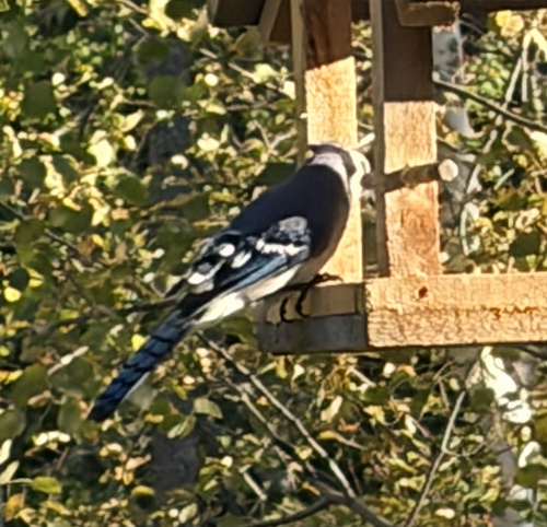
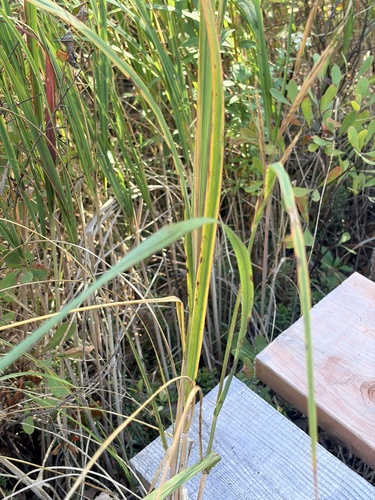
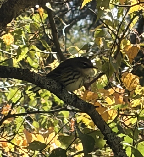
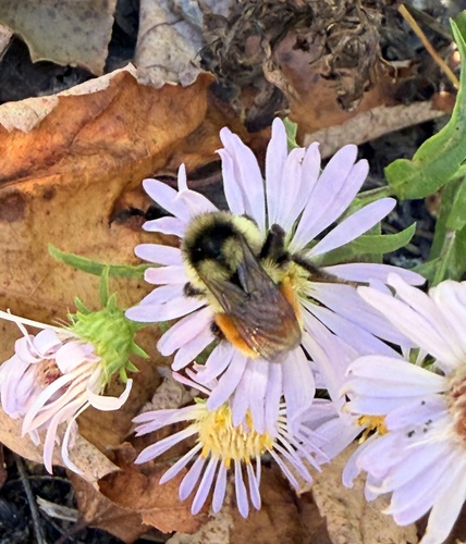
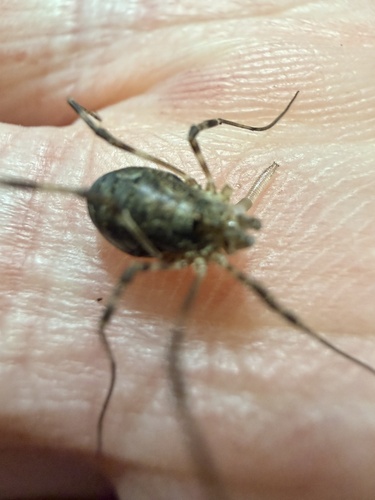
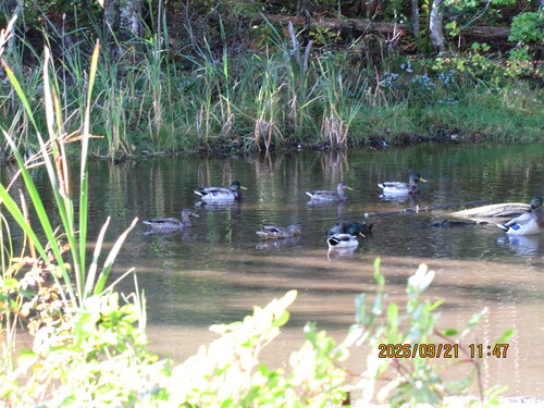
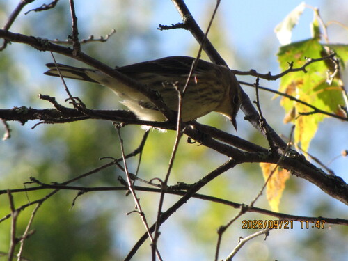
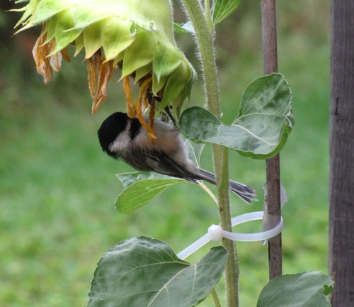
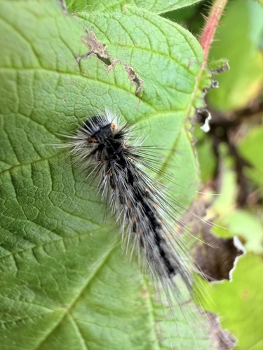
Research-grade observations from iNaturalist (within ~15 mi).
Events
Gallery
Sources
- • Wikipedia
- • Wikidata
- • USGS Earthquake Catalog (global feed)
- • GBIF (Global Biodiversity Information Facility)
- • iNaturalist
- • Open-Meteo / sunrise-sunset.org
- • Wikipedia Pageviews API