Browse / Canada / Northwest Territories / Inuvik
Inuvik
Northwest Territoriestown

Inuvik
Total population
3,463
Founded
1954
Demographic figures from Statistics Canada. Overview below cites Wikipedia and may reference a different year.
City facts
Facts from Wikidata (CC0).
Overview
Inuvik is the only town in the Inuvik Region, and the third largest community in Canada's Northwest Territories. Located in the Beaufort Delta Region, it serves as the region's administrative and service centre. Inuvik is home to federal, territorial, and Indigenous government offices, along with a regional hospital and airport.
Read more on WikipediaHistory & geography
History
Inuvik was conceived in 1953 as a replacement administrative centre for the hamlet of Aklavik on the west of the Mackenzie Delta, as the latter was prone to flooding and had no room for expansion. Initially called "New Aklavik", it was renamed Inuvik (from Inuuvik, Inuvialuktun for "living place" ) in 1958. The school was built in 1959 and the hospital, government offices and staff residences in 1960, when people, including Inuvialuit, Gwichʼin (Dene) and Métis, began to live in the community. A Naval Radio Station, later Canadian Forces Station Inuvik was commissioned on 10 September 1963 after operations had been successfully transferred from NRS Aklavik. As a Canadian Forces Station, it was a communications research/signals intercept facility and part of the SUPRAD (Supplementary Radio) network. Inuvik achieved village status in 1967 and became a full town in 1979 with an elected mayor and council. In 1979, with the completion of the Dempster Highway, Inuvik became connected to Canada's highway system, and simultaneously the most northerly town to which one could drive in Canada. For decades, the town's economy was supported by CFS Inuvik and by petrochemical companies exploring the Mackenzie Valley and the Beaufort Sea for petroleum. CFS Inuvik closed on 1 April 1986 and the site was transferred to the Department of Transport for use as a telecommunications station. Nothing remains of CFS Inuvik today. The Navy Operations base at the end of Navy Road was completely dismantled and removed. In the early 1990s, local resistance to petroleum exploration and low international oil prices meant the petrochemical industry also moved away. Thereafter, the economy has been based on some minor tourism, along with subsidies provided by the Crown–Indigenous Relations and…
Geography
Inuvik is located on the East Channel of the Mackenzie Delta, approximately from the Arctic Ocean and approximately north of the Arctic Circle. The tree line lies north of Inuvik, and the town is surrounded by boreal forest. Due to its northern location, Inuvik experiences an average of 56 days of midnight sun every summer and 30 days of polar night every winter.
Excerpted from the corresponding Wikipedia article (CC BY-SA).
Geography
Coordinates & boundaries from the US Census TIGER/Line shapefiles.
Climate
Air quality
Walkability
Amenities nearby
Wildlife & biodiversity
Earthquake history
Photos
Sights & places nearby
Notable people from here


People born within ~10 km, from Wikidata (CC0). Click any name for their Wikipedia article.
Nearby places in Northwest Territories
- Akłavik34.5 mi away · pop. 594
- Tuktoyaktuk76.8 mi away · pop. 1,050
- Fort Good Hope198.5 mi away
- Paulatuk250 mi away · pop. 294
- Letty Harbour250.6 mi away
- Sachs Harbour (Ikaahuk)319.1 mi away · pop. 122
- Délı̨nę355.5 mi away · pop. 550
- Ulukhaktok417 mi away · pop. 402
- Fort Collinson435.1 mi away
- Gamèti539.5 mi away
- Fort Simpson573 mi away · pop. 1,174
- Jean Marie River605.6 mi away
Geography & sun
Elevation, sunrise/sunset and daylight from Open-Meteo. Solar climatology from NASA POWER.
Nearby airports
Public attention
Pageview totals from the Wikimedia Pageviews API.
Books about Inuvik


Search results from Open Library.
Recent natural events nearby
Ground air-quality sensors
Recently spotted species
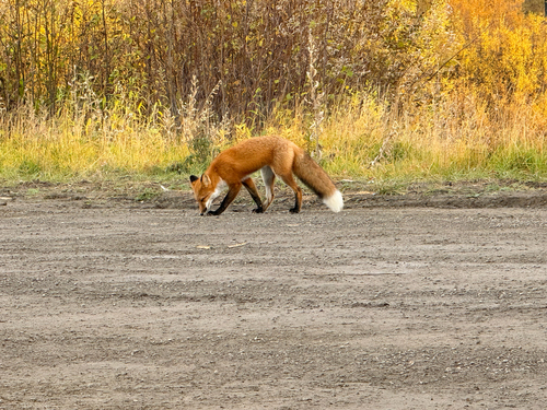
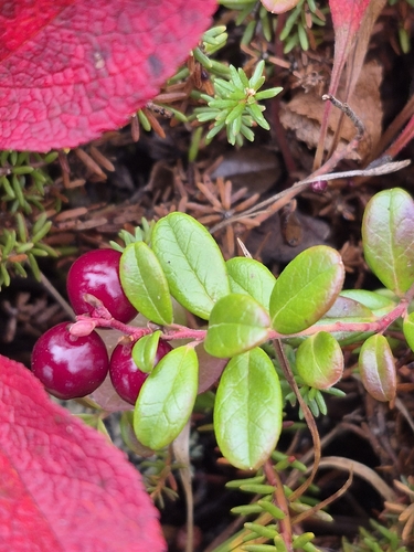
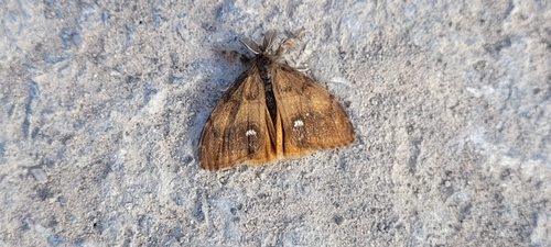
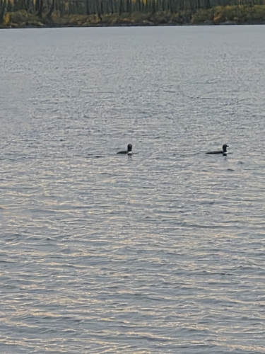

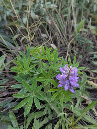
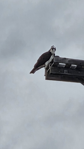
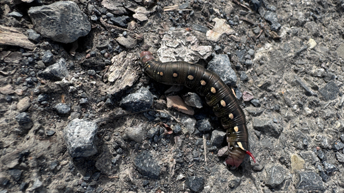
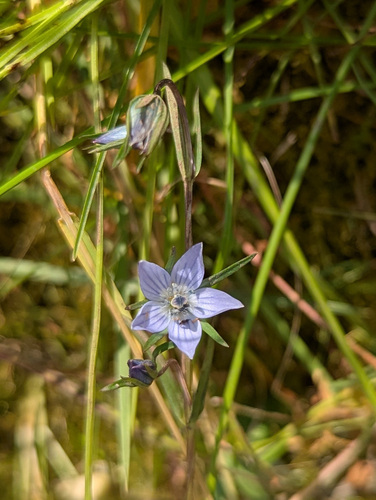
Research-grade observations from iNaturalist (within ~15 mi).
Events
Notable, recurring, and historical events associated with Inuvik, sourced from Wikidata.
- Great Northern Arts Festivalannual event
Source: Wikidata (CC0).
Gallery
Official Identifiers
StatCan — Statistics Canada
- SGC code
- 6101017
- Population (Wikidata)
- 3,137
- Wikidata
- Q338686
Standard Geographical Classification (SGC) via Wikidata P3012
Sources
- • Wikipedia
- • Wikidata
- • iNaturalist
- • Open-Meteo / sunrise-sunset.org
- • Wikipedia Pageviews API
- • Open Library
- • StatCan — Statistics Canada — Standard Geographical Classification (SGC) via Wikidata P3012