Browse / United States / California / Irvine
Irvine
Californiacity

Irvine
Total population
318,693
Median home value
$1,510,300
Bachelor's+
Median income
$145,731
Founded
1971
Air quality index
Demographic figures from US Census Bureau · ACS 5-year estimates. Overview below cites Wikipedia and may reference a different year.
- Wind Advisory · ModerateWind Advisory issued October 16 at 5:10AM PDT until October 17 at 12:00PM PDT by NWS San Diego CA
- Heat Advisory · ModerateHeat Advisory issued October 16 at 5:10AM PDT until October 17 at 8:00PM PDT by NWS San Diego CA
Source: NOAA National Weather Service.
City facts
Sister cities
Facts from Wikidata (CC0).
Overview
Irvine is a planned city in central Orange County, California, United States, in the Los Angeles metropolitan area. It was named in 1888 for the landowner James Irvine. The Irvine Company started developing the area in the 1960s. The city was formally incorporated on December 28, 1971. The 66-square-mile (170 km2) city had a population of 318,629 as of June 2025. As of 2025, it is the second most populous city in Orange County, fifth in the Greater Los Angeles region, and 63rd in the United States.
Read more on WikipediaHistory & geography
History
The Kizh (Tongva) people (also known as Gabrieleño) inhabited the Irvine area for thousands of years prior to European contact. In the present, the city and the schools within are taking action to educate the community about the indigenous history. In 2024 there was a proposal to create a village based on Putuidem Village located in San Juan Capistrano. UCI set a Land Acknowledgement to inform the history of the land their campus is based on as well as many other immigrant groups that had also lived on that land. Gaspar de Portolá, a Spanish explorer, came to the area in 1769, which led to the establishment of forts, missions and cattle herds. The King of Spain parceled out land for missions and private use. After Mexico's independence from Spain in 1821, the Mexican Congress passed the Mexican secularization act of 1833 which secularized the missions and resulted in the Mexican government assuming control of the lands of said missions. It began distributing the land to Mexican citizens who applied for grants. Three large Spanish/Mexican land grants, also known as ranchos, made up the land that later became the Irvine Ranch: Rancho Santiago de Santa Ana, Rancho San Joaquín and Rancho Lomas de Santiago. In 1864, José Andrés Sepúlveda, owner of Rancho San Joaquín, sold to Benjamin and Thomas Flint, Llewellyn Bixby, and James Irvine for $18,000 to resolve debts due to the Great Drought. In 1866, Irvine, Flint and Bixby acquired Rancho Lomas de Santiago for $7,000. After the Mexican-American War the land of Rancho Santiago de Santa Ana fell prey to tangled titles. In 1868, the ranch was divided among three claimants as part of a lawsuit: Flint, Bixby and Irvine. The ranches were devoted to sheep grazing. However, in 1870, tenant farming was permitted. In 1878, James…
Geography
Irvine borders Tustin to the north, Santa Ana to the northwest, Lake Forest to the east and southeast, Laguna Hills and Laguna Woods to the south, Costa Mesa to the west, and Newport Beach to the southwest. Irvine also shares a small border with Orange to the north on open lands by the SR 261. San Diego Creek, which flows northwest into Upper Newport Bay, is the primary watercourse draining the city. Its largest tributary is Peters Canyon Wash. Most of Irvine is in a broad, flat valley between Loma Ridge in the north and San Joaquin Hills in the south. In the extreme northern and southern areas, however, are several hills, plateaus and canyons. Los Angeles architect William Pereira and Irvine Company employee Raymond Watson designed Irvine's layout beginning in the late 1950s, which is nominally divided into townships called "villages", separated by six-lane arterial roads. Each township contains houses of similar design, along with commercial centers, religious institutions, and schools. Commercial districts are checker-boarded in a periphery around the central townships. Only automobile transportation was planned for, with other forms of transportation ignored, resulting in Irvine becoming extremely car dependent today. Pereira originally envisioned the university campus at the northern end of the Irvine Ranch. When the Irvine Company refused to relinquish valuable farmland in the flat central region of the ranch for this plan, the university site was moved to the base of the southern coastal hills. The city layout was based on the shape of a necklace (with the villages strung along two parallel main streets, which terminate at University of California, Irvine (UCI), the "pendant"). Residential areas are now bordered by two commercial districts, the Irvine…
Excerpted from the corresponding Wikipedia article (CC BY-SA).
Demographics & economy
Race & ethnicity
Source: US Census Bureau — American Community Survey, 5-year estimates.
Geography
Coordinates & boundaries from the US Census TIGER/Line shapefiles.
Climate
Current forecast
Forecast for Irvine, CA from NOAA NWS API.
Air quality
Current readings from Open-Meteo Air Quality API (Copernicus CAMS European reanalysis).
Industrial & pollution facilities
Natural hazard risk
Health (adults)
Age-adjusted prevalence estimates from CDC PLACES (latest release).
Walkability
Amenities nearby
Wildlife & biodiversity
Most-observed species
- American CrowCorvus brachyrhynchos C.L.Brehm, 1822 · Aves83,701
- House FinchHaemorhous mexicanus (P.L.Statius Müller, 1776) · Aves83,034
- Black PhoebeSayornis nigricans (Swainson, 1827) · Aves70,087
- Song SparrowMelospiza melodia (A.Wilson, 1810) · Aves60,423
- Mourning DoveZenaida macroura (Linnaeus, 1758) · Aves57,925
- Lesser GoldfinchSpinus psaltria (Say, 1822) · Aves57,282
- Allen's HummingbirdSelasphorus sasin (R.Lesson, 1829) · Aves56,380
- Anna's HummingbirdCalypte anna (R.Lesson, 1829) · Aves54,362
Citizen-science & research observations from the Global Biodiversity Information Facility (GBIF).
Schools
Largest nearby schools
- Santa Ana HighHigh · Santa Ana · 3,135 students · 23.2:1 ratio
- Arnold O. Beckman HighHigh · Irvine · 2,798 students · 26.6:1 ratio
- Aliso Niguel HighHigh · Aliso Viejo · 2,774 students · 24.3:1 ratio
- Trabuco Hills HighHigh · Mission Viejo · 2,579 students · 23.2:1 ratio
- Segerstrom HighHigh · Santa Ana · 2,489 students · 25.4:1 ratio
- Foothill HighHigh · Santa Ana · 2,276 students · 27.4:1 ratio
- Newport Harbor HighHigh · Newport Beach · 2,268 students · 23.9:1 ratio
- OCSAHigh · Santa Ana · 2,252 students · 17.1:1 ratio
Public K–12 schools within ~10 mi from Urban Institute Education Data Portal (NCES Common Core of Data, 2022).
Earthquake history
Most recent
- M 2.77 — 2026-10-153 km NNW of San Jacinto, CA
- M 2.71 — 2026-10-114 km E of San Jacinto, CA
- M 3.16 — 2026-10-092 km SW of Signal Hill, CA
- M 2.7 — 2026-10-082 km WNW of Fontana, CA
- M 2.51 — 2026-10-0531 km SW of Dana Point, CA
- M 2.81 — 2026-10-0532 km SW of Dana Point, CA
Events from the USGS Earthquake Catalog (global) (FDSN Event Web Service).
Photos
Sights & places nearby
Notable people from here


People born within ~10 km, from Wikidata (CC0). Click any name for their Wikipedia article.
Nearby places in California
- Laguna Woods5.2 mi away · pop. 17,289
- North Tustin6 mi away
- Modjeska8.4 mi away · pop. 714
- Las Flores10.7 mi away · pop. 5,513
- Dana Point14.7 mi away · pop. 32,790
- Cypress18.1 mi away · pop. 49,498
- Los Alamitos18.6 mi away · pop. 11,794
- Hawaiian Gardens20.3 mi away · pop. 13,691
- East Whittier21.1 mi away
- Rowland Heights21.3 mi away · pop. 45,911
- Cerritos21.6 mi away · pop. 47,867
- Artesia22.1 mi away
Geography & sun
Elevation, sunrise/sunset and daylight from Open-Meteo. Solar climatology from NASA POWER.
Nearby airports
Public attention
Pageview totals from the Wikimedia Pageviews API.
Books about Irvine



Search results from Open Library.
Recent natural events nearby
- Wildfire BOUQUET, Los Angeles, CaliforniaWildfires · 2026-10-03 · 71 mi
- Wildfire RIDGE, Los Angeles, CaliforniaWildfires · 2026-08-07 · 98 mi
- Wildfire BUZZARD, Kern, CaliforniaWildfires · 2026-08-05 · 107 mi
- Cyclone RachelSevere Storms · 2026-10-11 · 137 mi
- Wildfire CYRUS, Kern, CaliforniaWildfires · 2026-10-09 · 144 mi
- Wildfire PLAINS, San Luis Obispo, CaliforniaWildfires · 2026-08-12 · 175 mi
- Prescribed Fire CRAWFORD CORRAL RX, Tulare, CaliforniaWildfires · 2026-09-19 · 213 mi
Wildfires, storms and other events from NASA EONET (last 12 months, within 250 mi).
Ground air-quality sensors
Recently spotted species
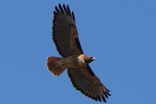
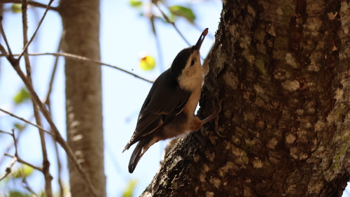
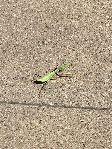
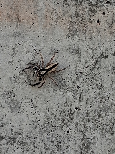
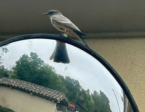
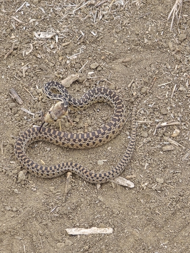
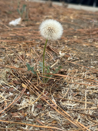
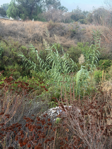
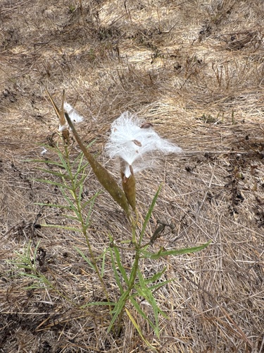
Research-grade observations from iNaturalist (within ~15 mi).
Nearest stream gauge
Events
Gallery
Sources
- • Wikipedia
- • US Census Bureau (ACS 5-year estimates)
- • NOAA National Weather Service
- • Wikidata
- • Open-Meteo Air Quality (CAMS)
- • USGS Earthquake Catalog (global feed)
- • NCES via Urban Institute Education Data Portal
- • GBIF (Global Biodiversity Information Facility)
- • iNaturalist
- • CDC PLACES
- • Open-Meteo / sunrise-sunset.org
- • Wikipedia Pageviews API
- • Open Library
- • NASA EONET