Browse / Canada / British Columbia / Iskut
Iskut
British Columbiavillage

Featured view
Iskut
Coordinates57.84°, -129.99°
Demographic figures from Statistics Canada. Overview below cites Wikipedia and may reference a different year.
Loading additional data from public sources…0 / 11
CensusWikipediaWeatherPlacesPeopleEnvironmentHealth & SchoolsRelatedGeography & CultureLive MonitoringEvents & Gallery
0% completeCity facts
Overview
Iskut is a small, mostly Indigenous community in the Stikine Country of northwestern British Columbia. It is located on Highway 37, at the north end of Eddontenajon Lake just south of Dease Lake and the crossing of the Stikine River.
Read more on WikipediaHistory & geography
Geography
Latitude
57.8389
Longitude
-129.9875
Water area
—
Coordinates & boundaries from the US Census TIGER/Line shapefiles.
Climate
Air quality
Walkability
Amenities nearby
Wildlife & biodiversity
Earthquake history
Photos
Sights & places nearby
Notable people from here
Geography & sun
Avg solar (kWh/m²/day)
2.71
Annual solar (kWh/m²)
988
Elevation, sunrise/sunset and daylight from Open-Meteo. Solar climatology from NASA POWER.
Nearby airports
Public attention
Wikipedia views (last 30 days)
343
Avg daily Wikipedia views
11
Attention level
Obscure
Pageview totals from the Wikimedia Pageviews API.
Books about Iskut
Iskut River
Geological Survey of Canada.
Lower Stikine and Western Iskut River Areas, British Columbia
Geological Survey of Canada. · 1948
Lower Stikine and western Iskut River areas, British Columbia
Stikine-Iskut hydroelectric development feasibility study
1981
Stikine-Iskut rivers hydroelectric project environmental feasibility studies, economic geology
B.C. Hydro · 1980
Hunting, trapping and fishing laws which affect the Iskut and Telegraph Creek bands
Gary Youngman · 1977
First Nations water rights in British Columbia
Rachel Abrams · 1997
Search results from Open Library.
Recent natural events nearby
Ground air-quality sensors
Recently spotted species
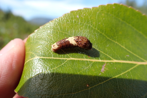
Canadian Tiger Swallowtail
Papilio canadensis
Seen 2026-09-04
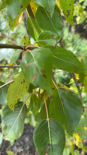
balsam poplar
Populus balsamifera
Seen 2026-09-02
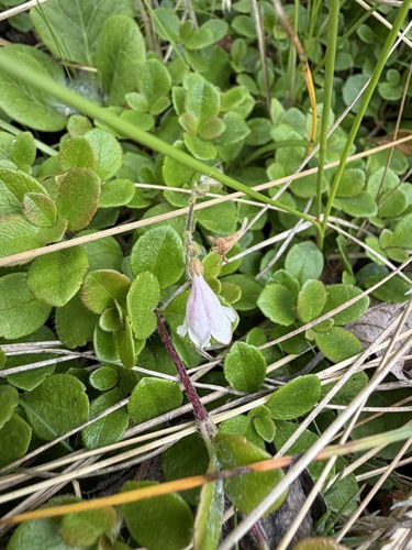
Twinflower
Linnaea borealis
Seen 2026-07-13
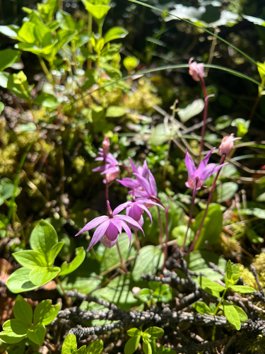
Eastern Fairy-slipper
Calypso bulbosa americana
Seen 2026-06-22
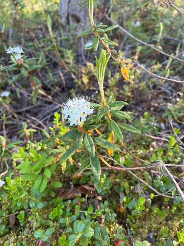
Bog Labrador Tea
Rhododendron groenlandicum
Seen 2026-06-22
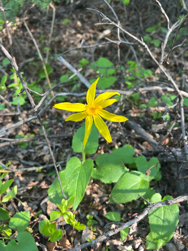
heartleaf arnica
Arnica cordifolia
Seen 2026-06-22
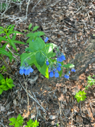
Tall Bluebell
Mertensia paniculata
Seen 2026-06-22
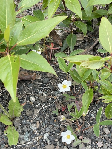
Virginia strawberry
Fragaria virginiana
Seen 2026-06-03
Hooded Merganser
Lophodytes cucullatus
Seen 2025-10-04
Research-grade observations from iNaturalist (within ~15 mi).
Events
Gallery
Sources
- • Wikipedia
- • iNaturalist
- • Open-Meteo / sunrise-sunset.org
- • Wikipedia Pageviews API
- • Open Library