Browse / Canada / British Columbia / Jaffray
Jaffray
British Columbiavillage

Jaffray
Total population
810
Demographic figures from Statistics Canada. Overview below cites Wikipedia and may reference a different year.
City facts
Overview
Jaffray is an unincorporated community on the west side of Little Sand Creek in the East Kootenay region of southeastern British Columbia. On BC Highway 3/93, the locality is by road about 80 kilometres (50 mi) southwest of Sparwood and 47 kilometres (29 mi) southeast of Cranbrook.
Read more on WikipediaHistory & geography
Geography
Coordinates & boundaries from the US Census TIGER/Line shapefiles.
Climate
Air quality
Walkability
Amenities nearby
Wildlife & biodiversity
Most-observed species
- Common RavenCorvus corax Linnaeus, 1758 · Aves2,274
- Red-breasted NuthatchSitta canadensis Linnaeus, 1766 · Aves2,197
- American RobinTurdus migratorius Linnaeus, 1766 · Aves2,166
- Northern FlickerColaptes auratus (Linnaeus, 1758) · Aves2,124
- Black-capped ChickadeePoecile atricapillus (Linnaeus, 1766) · Aves2,050
- American CrowCorvus brachyrhynchos C.L.Brehm, 1822 · Aves1,691
- MallardAnas platyrhynchos Linnaeus, 1758 · Aves1,641
- Canada Goose (canadensis Group)Branta canadensis (Linnaeus, 1758) · Aves1,538
Citizen-science & research observations from the Global Biodiversity Information Facility (GBIF).
Earthquake history
Most recent
- M 2.9 — 2026-04-157 km N of Sparwood, Canada
- M 2.9 — 2026-03-1332 km S of Pincher Creek, Canada
- M 2.7 — 2026-02-1834 km W of Kimberley, Canada
- M 2.54 — 2024-10-2511 km SSE of Elkford, Canada
- M 3.07 — 2023-07-29British Columbia, Canada
- M 2.7 — 2023-06-0716 km NNW of Elkford, Canada
Events from the USGS Earthquake Catalog (global) (FDSN Event Web Service).
Photos
Sights & places nearby
Notable people from here
Nearby places in British Columbia
Geography & sun
Elevation, sunrise/sunset and daylight from Open-Meteo. Solar climatology from NASA POWER.
Nearby airports
Public attention
Pageview totals from the Wikimedia Pageviews API.
Books about this place
Recent natural events nearby
- Wildfire Skillet, Lincoln, MontanaWildfires · 2026-07-29 · 64 mi
- Wildfire Parker Lake, Boundary, IdahoWildfires · 2026-08-23 · 69 mi
- Wildfire Silver, Boundary, IdahoWildfires · 2026-08-23 · 80 mi
- Wildfire Deer Creek, Lincoln, MontanaWildfires · 2026-08-20 · 84 mi
- Wildfire Dudley, Shoshone, IdahoWildfires · 2026-08-26 · 130 mi
- Wildfire FAIRVIEW, Spokane, WashingtonWildfires · 2026-08-01 · 146 mi
- Wildfire AUTUMN LANE, Spokane, WashingtonWildfires · 2026-08-01 · 152 mi
- Wildfire OLD TRAILS, Spokane, WashingtonWildfires · 2026-08-01 · 155 mi
Wildfires, storms and other events from NASA EONET (last 12 months, within 250 mi).
Ground air-quality sensors
Recently spotted species
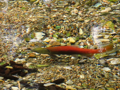
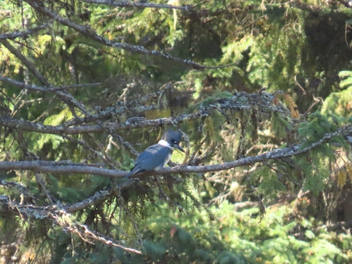
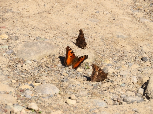
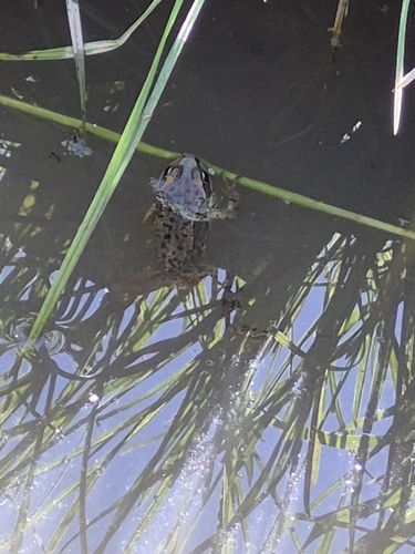
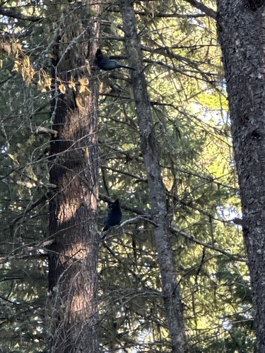
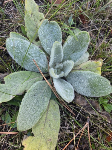
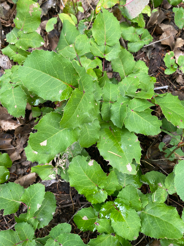
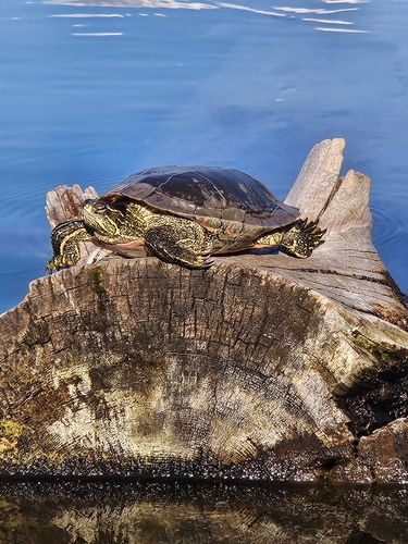
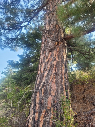
Research-grade observations from iNaturalist (within ~15 mi).
Events
Gallery
Sources
- • Wikipedia
- • USGS Earthquake Catalog (global feed)
- • GBIF (Global Biodiversity Information Facility)
- • iNaturalist
- • Open-Meteo / sunrise-sunset.org
- • Wikipedia Pageviews API
- • NASA EONET