Browse / Canada / British Columbia / Kamloops
Kamloops
British Columbiacity

Kamloops
Total population
97,902
Founded
1811
Air quality index
Demographic figures from Statistics Canada. Overview below cites Wikipedia and may reference a different year.
City facts
Sister cities
Facts from Wikidata (CC0).
Overview
Kamloops is a city in south-central British Columbia, Canada, at the confluence of the North and South Thompson Rivers, which join to become the Thompson River in Kamloops, and east of Kamloops Lake. The city is a commercial centre for, and largest city within, Thompson Country, a region of the British Columbia Interior.
Read more on WikipediaHistory & geography
History
The first European explorers arrived in 1811. David Stuart, a trader sent from Fort Astoria, then still a Pacific Fur Company post, spent a winter with the Secwépemc people. In May of the following year, trader Alexander Ross established a post, which was known as "Fort Cumcloups". The rival North West Company established Fort Shuswap nearby in the same year. The two businesses merged in 1813 when the North West Company bought the operations of the Pacific Fur Company. In 1821, the Hudson's Bay Company merged with the North West Company, and the post became known commonly as Thompson's River Post, or Fort Thompson. Later it was known as Fort Kamloops. The post's Chief Traders kept journals, which document a series of inter-Indian wars and personalities for the period, in addition to the daily business of the fur companies and their personnel along the entire Pacific Slope. Soon after the forts were founded, Kwa'lila, chief of the main local village of the Secwépemc, moved his people closer to the trading post, so they could control access and gain in prestige and security. After Kwa'lila died, his nephew and foster son Nicola became chief. He later led an alliance of Syilx (Okanagan) and Nlaka'pamux peoples in the plateau country to the south around Stump, Nicola and Douglas lakes. Relations between Nicola and the fur traders were often tense, but Chief Nicola was recognized for his aid to European settlers during the Fraser Canyon Gold Rush of 1858. He did try to control those who had been in parties waging violence and looting on the Okanagan Trail, which led from American territory to the Fraser goldfields. Throughout, Kamloops was an important way station on the route of the Hudson's Bay Brigade Trail, which connected Fort Vancouver with Fort Alexandria and the…
Geography
Kamloops is in the Thompson Valley and the Montane Cordillera Ecozone. The city's centre is in the valley near the confluence of the Thompson River's north and south branches. Suburbs stretch for more than a dozen kilometres along the north and south branches, as well as to the steep hillsides along the south portion of the city and lower northeast hillsides. The area surrounding the city is sometimes referred to as the Thompson Country. Robert W. Service in 1904 described Kamloops as his delightful life and wrote "Life was pleasant, and the work was light. At four o'clock we were on our horses, riding over the rolling ridges, or into spectral gulches that rose to ghostlier mountains. It was like the scenery of Mexico, weirdly desolate and aridly morose. A discouraging land, forbidding in its weariness and resigned to ruin." Kamloops Indian Band areas begin just to the northeast of the downtown core but are not within the city limits. As a result of this placement, it is necessary to leave Kamloops' city limits and pass through the band lands before re-entering the city limits to access the northernmost communities of Rayleigh and Heffley Creek. Kamloops is surrounded by the smaller communities of Cherry Creek, Pritchard, Savona, Scotch Creek, Adams Lake, Chase, Paul Lake, Pinantan and various others. The following are the officially recognized neighbourhoods within the city of Kamloops. Informally recognized sub-areas are listed beneath the neighbourhoods to which they belong: * Aberdeen **Pacific Way * Barnhartvale * Batchelor Heights **Batchelor Hills **Lac Du Bois * Brocklehurst **Airport Entry Corridor **Brock Centre **North Kamloops West **Ord Road * Campbell Creek **The Burrows * Dallas * Downtown **Columbia Precinct **Downtown Core **East End **East Entry…
Excerpted from the corresponding Wikipedia article (CC BY-SA).
Geography
Coordinates & boundaries from the US Census TIGER/Line shapefiles.
Climate
Air quality
Current readings from Open-Meteo Air Quality API (Copernicus CAMS European reanalysis).
Walkability
Amenities nearby
Wildlife & biodiversity
Most-observed species
- MallardAnas platyrhynchos Linnaeus, 1758 · Aves4,257
- Northern FlickerColaptes auratus (Linnaeus, 1758) · Aves4,133
- American CrowCorvus brachyrhynchos C.L.Brehm, 1822 · Aves4,116
- Black-billed MagpiePica hudsonia (Sabine, 1823) · Aves4,009
- Canada Goose (canadensis Group)Branta canadensis (Linnaeus, 1758) · Aves3,482
- American RobinTurdus migratorius Linnaeus, 1766 · Aves3,377
- European StarlingSturnus vulgaris Linnaeus, 1758 · Aves3,354
- Common RavenCorvus corax Linnaeus, 1758 · Aves3,018
Citizen-science & research observations from the Global Biodiversity Information Facility (GBIF).
Earthquake history
Most recent
- M 3.4 — 2015-12-1622 km E of Cache Creek, Canada
- M 2.5 — 2013-08-244 km NNE of Merritt, Canada
- M 3.2 — 2003-08-2039 km ESE of Merritt, Canada
- M 4.5 — 2002-08-1739 km ESE of Merritt, Canada
Events from the USGS Earthquake Catalog (global) (FDSN Event Web Service).
Photos
Sights & places nearby
Notable people from here


People born within ~10 km, from Wikidata (CC0). Click any name for their Wikipedia article.
Nearby places in British Columbia
Geography & sun
Elevation, sunrise/sunset and daylight from Open-Meteo. Solar climatology from NASA POWER.
Nearby airports
Public attention
Pageview totals from the Wikimedia Pageviews API.
Books about Kamloops
Search results from Open Library.
Recent natural events nearby
- Omak Lake Road Wildfire, Okanogan, WashingtonWildfires · 2026-06-16 · 171 mi
- Kartar Wildfire, Okanogan, WashingtonWildfires · 2026-06-16 · 173 mi
- CHESTNUT Wildfire, Chelan, WashingtonWildfires · 2026-06-06 · 200 mi
Wildfires, storms and other events from NASA EONET (last 12 months, within 250 mi).
Ground air-quality sensors
Recently spotted species
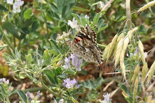
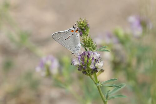
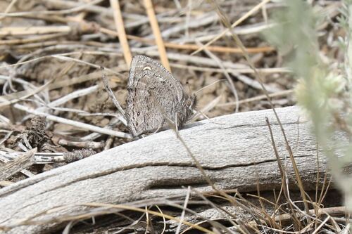
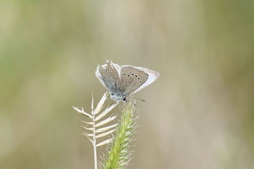
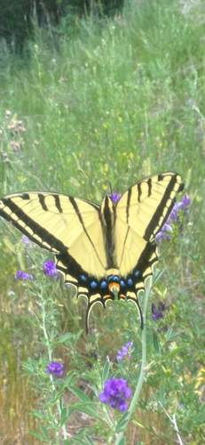
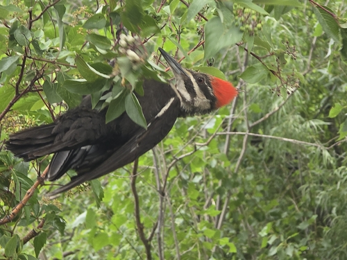
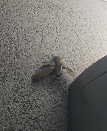
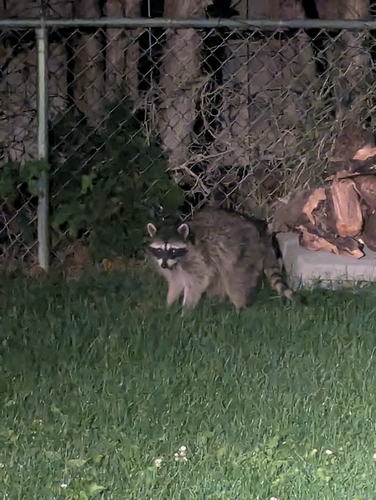
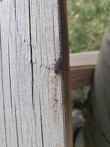
Research-grade observations from iNaturalist (within ~15 mi).
Events
Notable, recurring, and historical events associated with Kamloops, sourced from Wikidata.
- 1998 Skate Canada International - men's singlesNov 1, 1998sporting event
Source: Wikidata (CC0).
Gallery
Geotagged photos within ~6 miles of Kamloops, from Wikimedia Commons contributors.
 0 mi
0 mi.jpg) 0 mi
0 mi.jpg) 0 mi
0 mi.jpg) 0 mi
0 mi 0 mi
0 mi 0.1 mi
 0.1 mi
 0.1 mi
 0.1 mi
 0.1 mi
,_Kamloops,_Colombie_Britannique,_1886.jpg) 0.1 mi
0.1 mi 0.1 mi
,_Kamloops,_Colombie_Britannique,_1886_-_4574866746.jpg) 0.1 mi
0.1 mi.jpg) 0.1 mi
0.1 mi,_Kamloops.jpg) 0.1 mi
0.1 mi 0.1 mi
 0.1 mi
.jpg) 0.1 mi
0.1 mi.jpg) 0.1 mi
0.1 mi.jpg) 0.1 mi
0.1 mi.jpg) 0.1 mi
0.1 mi.jpg) 0.1 mi
0.1 mi 0.2 mi
 0.2 mi
Photos via Wikimedia Commons — see each image page for license & attribution.
Official Identifiers
StatCan — Statistics Canada
- SGC code
- 5933042
- Population (Wikidata)
- 97,902
- Wikidata
- Q473209
Standard Geographical Classification (SGC) via Wikidata P3012
Sources
- • Wikipedia
- • Wikimedia Commons
- • Wikidata
- • Open-Meteo Air Quality (CAMS)
- • USGS Earthquake Catalog (global feed)
- • GBIF (Global Biodiversity Information Facility)
- • iNaturalist
- • Open-Meteo / sunrise-sunset.org
- • Wikipedia Pageviews API
- • Open Library
- • NASA EONET
- • StatCan — Statistics Canada — Standard Geographical Classification (SGC) via Wikidata P3012