Browse / Canada / Alberta / Kapasiwin
Kapasiwin
Albertavillage
Demographic figures from Statistics Canada. Overview below cites Wikipedia and may reference a different year.
City facts
Facts from Wikidata (CC0).
Overview
Kapasiwin is a summer village in Alberta, Canada. It is located in the eastern shore of Wabamun Lake, south of Wabamun Lake Provincial Park and the Yellowhead Highway. The name derives from kapesiwin (ᑲᐯᓯᐃᐧᐣ), the Cree word for "campground". It was known as the Village of Wabamun Beach from 1913 to 1918 and was the first incorporated summer village in Alberta.
Read more on WikipediaHistory & geography
History
Kapasiwin was originally incorporated on October 25, 1913 as the Village of Wabamun Beach. It was renamed to the Village Municipality of Kepasiwin on August 28, 1918. Recognizing that the village acted like a summer village, the Province of Alberta officially incorporated it as the Summer Village of Kapasiwin on September 1, 1993.
Excerpted from the corresponding Wikipedia article (CC BY-SA).
Geography
Coordinates & boundaries from the US Census TIGER/Line shapefiles.
Climate
Air quality
Walkability
Amenities nearby
Wildlife & biodiversity
Most-observed species
- Black-capped ChickadeePoecile atricapillus (Linnaeus, 1766) · Aves1,379
- MallardAnas platyrhynchos Linnaeus, 1758 · Aves976
- Common RavenCorvus corax Linnaeus, 1758 · Aves954
- Common GoldeneyeBucephala clangula (Linnaeus, 1758) · Aves846
- Blue JayCyanocitta cristata (Linnaeus, 1758) · Aves812
- Canada Goose (canadensis Group)Branta canadensis (Linnaeus, 1758) · Aves782
- Black-billed MagpiePica hudsonia (Sabine, 1823) · Aves684
- Downy WoodpeckerDryobates pubescens (Linnaeus, 1766) · Aves660
Citizen-science & research observations from the Global Biodiversity Information Facility (GBIF).
Earthquake history
Most recent
- M 4.3 — 2026-04-0110 km N of Bon Accord, Canada
Events from the USGS Earthquake Catalog (global) (FDSN Event Web Service).
Photos
Sights & places nearby
Notable people from here
Nearby places in Alberta
- Keephills8.2 mi away
- Fallis8.3 mi away
- Tomahawk16.7 mi away
- Warburg Hutterite Colony20.8 mi away
- Cherhill21.3 mi away
- Old Entwistle21.9 mi away
- Spruce Grove22.2 mi away · pop. 37,645
- Entwistle22.7 mi away
- Sunnybrook26.3 mi away
- Rochfort Bridge Hutterite Colony30.2 mi away
- Morinville Hutterite Colony33.2 mi away
- Buck Creek35.7 mi away
Geography & sun
Elevation, sunrise/sunset and daylight from Open-Meteo. Solar climatology from NASA POWER.
Nearby airports
Public attention
Pageview totals from the Wikimedia Pageviews API.
Books about Kapasiwin
Search results from Open Library.
Recent natural events nearby
Ground air-quality sensors
Recently spotted species
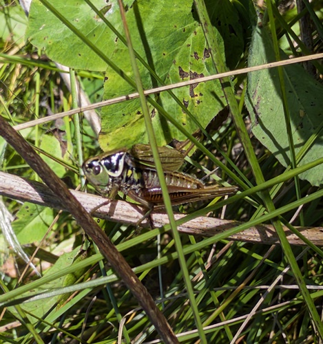
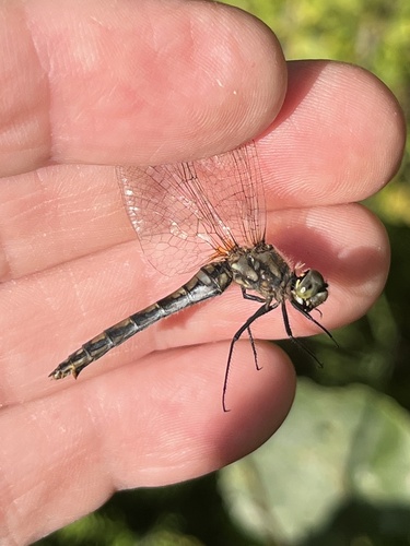
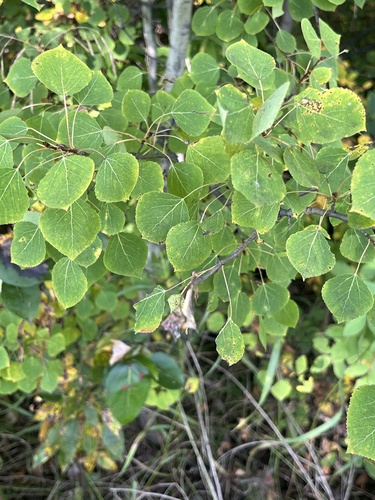
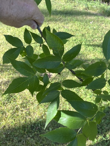
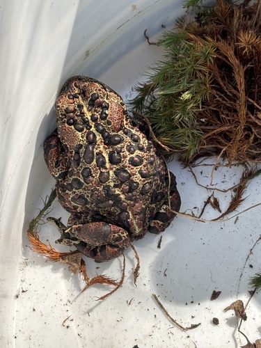
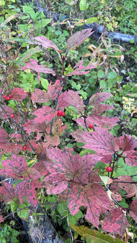
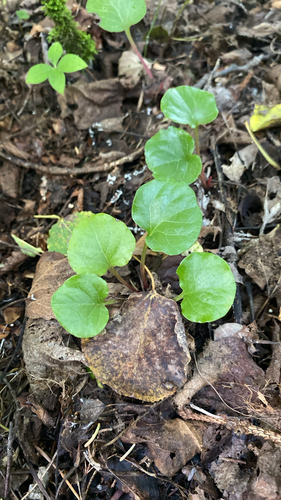
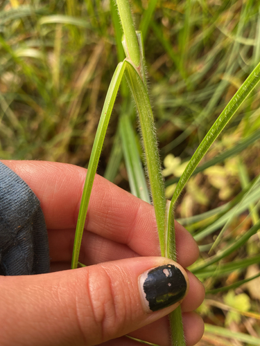
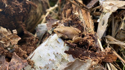
Research-grade observations from iNaturalist (within ~15 mi).
Events
Gallery
Official Identifiers
StatCan — Statistics Canada
- SGC code
- 4811044
- Population (Wikidata)
- 10
- Wikidata
- Q6366493
Standard Geographical Classification (SGC) via Wikidata P3012
Sources
- • Wikipedia
- • Wikidata
- • USGS Earthquake Catalog (global feed)
- • GBIF (Global Biodiversity Information Facility)
- • iNaturalist
- • Open-Meteo / sunrise-sunset.org
- • Wikipedia Pageviews API
- • Open Library
- • StatCan — Statistics Canada — Standard Geographical Classification (SGC) via Wikidata P3012