Browse / Canada / Ontario / Kemptville
Kemptville
Ontariovillage

Kemptville
Demographic figures from Statistics Canada. Overview below cites Wikipedia and may reference a different year.
City facts
Overview
Kemptville is a community located in the Municipality of North Grenville in Eastern Ontario, Canada in the northernmost part of the United Counties of Leeds and Grenville. It is located approximately 56 km (35 mi) south of the downtown core of Ottawa and 2.5 to 3 km south of the Rideau River.
Read more on WikipediaHistory & geography
History
The small town of Kemptville began to emerge from the forest in the township of Oxford when Lyman Clothier, a resident of New England, bought of land in Concession 3 of Oxford-on-Rideau Township from a John Byce in 1819 for C£75. Mr. Clothier began construction of a saw mill with the assistance of his four sons, and they built two dwellings in what is now Kemptville. This mill was extremely important for the settling of the community, as in order to construct a crude dwelling, lumber was required - and so, the mill began to facilitate the construction of dwellings for settlers all over Oxford Township. The Clothiers placed some grinding stones in the lower part of their saw mill. As a result of this, rather than taking their grain to a site on the Saint Lawrence River, which would be a daunting hike in the best of conditions, or grinding the grain in an extremely ineffective and crude fashion, the settlers could now take it to this grist mill. After this was established, a blacksmith's shop was established, run also by the Clothiers. A schoolhouse was established in 1823, which served the surrounding communities for many years. The first physician arrived in the community the year after the school was established. The small village was expanding quickly and the residents of the region were beginning to think about officially giving a dignified name to the location in which they lived. Initially, the community was known as "Clothier's Mill". So, during a public meeting at this time, the name "Kemptville" was suggested, to honour Sir James Kempt, the Governor of Upper Canada in 1829, who was said to have camped on the banks of the Rideau River near the settlement. The name was adopted in 1829 and the first map with the name "Kemptville" was produced in 1830. The…
Excerpted from the corresponding Wikipedia article (CC BY-SA).
Geography
Coordinates & boundaries from the US Census TIGER/Line shapefiles.
Climate
Air quality
Walkability
Amenities nearby
Wildlife & biodiversity
Earthquake history
Photos
Sights & places nearby
Notable people from here


People born within ~10 km, from Wikidata (CC0). Click any name for their Wikipedia article.
Geography & sun
Nearby airports
Public attention
Books about this place
Recent natural events nearby
Ground air-quality sensors
Recently spotted species
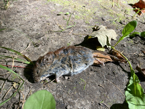
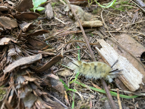
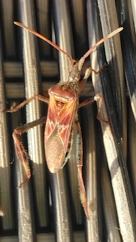
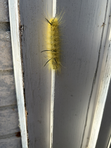
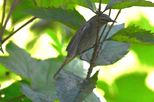
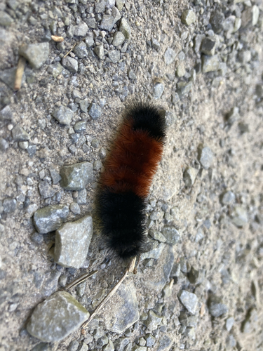
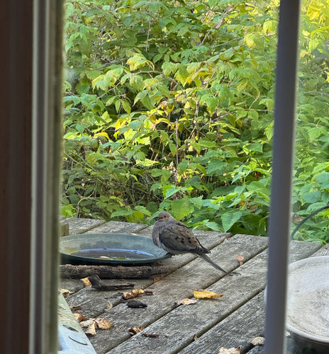
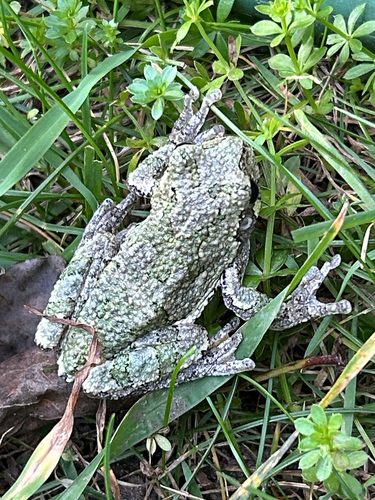
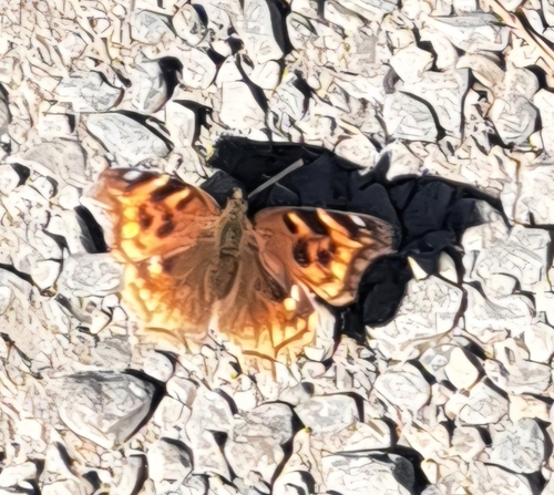
Research-grade observations from iNaturalist (within ~15 mi).
Events
Gallery
Sources
- • Wikipedia
- • Wikidata
- • iNaturalist