Browse / Canada / Nova Scotia / Kentville
Kentville
Nova Scotiatown

Kentville
Total population
6,630
Demographic figures from Statistics Canada. Overview below cites Wikipedia and may reference a different year.
City facts
Facts from Wikidata (CC0).
Overview
The Town of Kentville is an incorporated town in Nova Scotia, Canada. It is the most populous town in the Annapolis Valley. As of 2021, the town's population was 6,630. Its census agglomeration is 26,929.
Read more on WikipediaHistory & geography
History
Kentville/Obsitquetchk owes its location to the Cornwallis River which, downstream from the Town, becomes a large tidal river at the Minas Basin. The riverbank at the current location of Kentville provided an easy fording point. The Mi'kmaq name for the location was "Obsitquetchk". The ford and later the bridge in Kentville made the area an important crossroads for other settlements in the Annapolis Valley. Kentville also marked the limit of navigation of sailing ships. The area was first settled by Acadians, who built many dykes along the river to keep the high Bay of Fundy tides out of their farmland. These dykes created the ideal fertile soil that the Annapolis Valley is known for. The Acadians were expelled from the area in the Bay of Fundy Campaign (1755) by the British authorities because they would not swear allegiance to the British king. The area was then settled by New England Planters. Settlement was expedited by the United Empire Loyalists during the American Revolution. The town was originally known as Horton's Corner, but was named Kentville in 1826 after Prince Edward Augustus, Duke of Kent (son of King George III and father of Queen Victoria), who resided in Nova Scotia from 1794 to 1800. The village was at first relatively small and dwarfed by larger valley towns with better harbours such as Canning and Wolfville. The crossroads location did attract early shopkeepers and several stagecoach inns. Small schooners were able to land cargos in the "Klondyke" neighhourhood by the Cornwallis River which marked the height of navigation. Kentville developed a reputation for rowdy drinking and horse races in the early 19th century, earning the nickname "The Devil's Half Acre." Prior to the Town's establishment, the northern areas close to the Cornwallis…
Excerpted from the corresponding Wikipedia article (CC BY-SA).
Geography
Coordinates & boundaries from the US Census TIGER/Line shapefiles.
Climate
Air quality
Walkability
Amenities nearby
Wildlife & biodiversity
Earthquake history
Photos
Sights & places nearby
Notable people from here


People born within ~10 km, from Wikidata (CC0). Click any name for their Wikipedia article.
Nearby places in Nova Scotia
Geography & sun
Elevation, sunrise/sunset and daylight from Open-Meteo. Solar climatology from NASA POWER.
Nearby airports
Public attention
Pageview totals from the Wikimedia Pageviews API.
Books about Kentville


Search results from Open Library.
Recent natural events nearby
Ground air-quality sensors
Recently spotted species
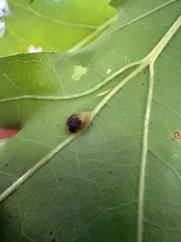
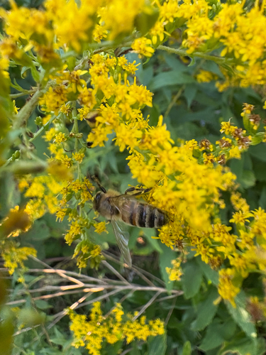
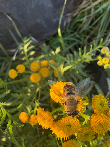
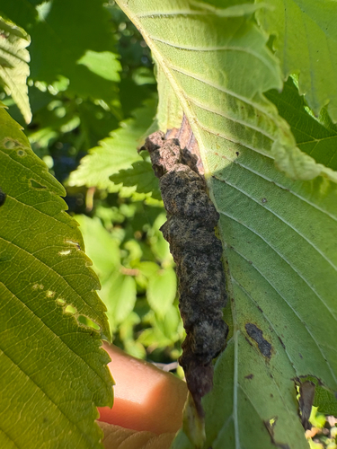
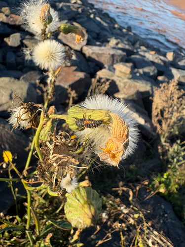
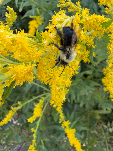
Research-grade observations from iNaturalist (within ~15 mi).
Events
Gallery
Official Identifiers
StatCan — Statistics Canada
- SGC code
- 1207012
- Population (Wikidata)
- 6,271
- Wikidata
- Q992432
Standard Geographical Classification (SGC) via Wikidata P3012
Sources
- • Wikipedia
- • Wikidata
- • iNaturalist
- • Open-Meteo / sunrise-sunset.org
- • Wikipedia Pageviews API
- • Open Library
- • StatCan — Statistics Canada — Standard Geographical Classification (SGC) via Wikidata P3012