Browse / United States / California / Kenwood
Kenwood
CaliforniaCDP

Kenwood
Total population
1,028
Median home value
$881,900
Bachelor's+
Median income
$99,526
Demographic figures from US Census Bureau · ACS 5-year estimates. Overview below cites Wikipedia and may reference a different year.
- Coastal Flood Advisory · MinorCoastal Flood Advisory issued October 1 at 12:20PM PDT until October 2 at 6:00PM PDT by NWS San Francisco CA
Source: NOAA National Weather Service.
City facts
Overview
Kenwood is an unincorporated community and census-designated place (CDP) in Sonoma County, California, United States, located on Sonoma Highway between the cities of Santa Rosa and Sonoma. It lies east of Sonoma Creek in the upper part of Sonoma Valley, a region sometimes called the Valley of the Moon. Bennett Mountain lies west of the town, and Sugarloaf Ridge to the northeast. The population was 852 at the 2020 census.
Read more on WikipediaHistory & geography
History
Kenwood is located on the Rancho Los Guilicos Mexican land grant. In 1887, the Sonoma Land & Improvement Company, which owned the property on which the town now sits, laid out lots in anticipation of the railroad which would arrive the following year. The infant community tried on many names: Rohrerville, for one of the owners of the land company; Los Guilicos, and then South Los Guilicos, for the Mexican land grant. South Los Guilicos Depot on the Santa Rosa and Carquinez Railroad opened in 1887. The First Congregational Church of Los Guilicos was built in 1888. It was relocated from the corner of Los Guilicos and Laurel to its present site in 1893. The parsonage was used for the Kenwood School until construction was completed in 1960. The original name of the church was changed first to Los Guilicos Congregational Church and then to its current name Kenwood Community Church. In 1981, the church was designated Historic Landmark 82 by the County of Sonoma. A number of townspeople were unhappy, complaining that "Guilicos" was hard to pronounce. Around 1895 a vote was taken to change the name again. One story says that Kenwood won because many of the settlers had come from Kenwood, Illinois. Another traces the choice to the fact that many landowners in the area were from old English families and so were familiar with London's Kenwood House. It is possible that both stories are true, and the name's permanence stemmed from its acceptability to different groups. Some notable people had ranches in the area, including mining, railroad, newspaper and banking magnate, Thomas Kearns, who was also a U.S. Senator from Utah. It is reported that he entertained President Theodore Roosevelt there at the Kearns Ranch, also known as the William Hood House. The World Pillow Fight…
Geography
According to the United States Census Bureau, the CDP covers an area of , all land. Under the Köppen Climate Classification climate classification, "dry-summer subtropical" climates are often referred to as "Mediterranean". This climate zone has an average temperature above in the warmest months, and an average in the coldest between . Summers tend to be dry with less than one-third that of the wettest winter month, and with less than of precipitation in a summer month.
Excerpted from the corresponding Wikipedia article (CC BY-SA).
Demographics & economy
Race & ethnicity
Source: US Census Bureau — American Community Survey, 5-year estimates.
Geography
Coordinates & boundaries from the US Census TIGER/Line shapefiles.
Climate
10-year averages from ERA5 reanalysis (Open-Meteo).
Current forecast
Forecast for Kenwood, CA from NOAA NWS API.
Air quality
Industrial & pollution facilities
Natural hazard risk
Health (adults)
Age-adjusted prevalence estimates from CDC PLACES (latest release).
Walkability
Amenities nearby
Wildlife & biodiversity
Most-observed species
- American CrowCorvus brachyrhynchos C.L.Brehm, 1822 · Aves16,412
- California TowheeMelozone crissalis (Vigors, 1839) · Aves15,904
- House FinchHaemorhous mexicanus (P.L.Statius Müller, 1776) · Aves15,767
- Oak TitmouseBaeolophus inornatus (Gambel, 1845) · Aves15,668
- California/Woodhouse's Scrub-JayAphelocoma californica (Vigors, 1839) · Aves15,210
- Anna's HummingbirdCalypte anna (R.Lesson, 1829) · Aves14,483
- Dark-eyed JuncoJunco hyemalis (Linnaeus, 1758) · Aves12,658
- Turkey VultureCathartes aura (Linnaeus, 1758) · Aves12,162
Citizen-science & research observations from the Global Biodiversity Information Facility (GBIF).
Schools
Largest nearby schools
- Rancho Cotate HighHigh · Rohnert Park · 1,611 students · 21.8:1 ratio
- Maria Carrillo HighHigh · Santa Rosa · 1,591 students · 23.4:1 ratio
- Montgomery HighHigh · Santa Rosa · 1,572 students · 20.4:1 ratio
- Lawrence E. Jones MiddleMiddle · Rohnert Park · 791 students · 22:1 ratio
- Rincon Valley MiddleMiddle · Santa Rosa · 786 students · 24.6:1 ratio
- Herbert Slater MiddleMiddle · Santa Rosa · 716 students · 21.1:1 ratio
- Yulupa ElementaryElementary · Santa Rosa · 579 students · 21.4:1 ratio
- Evergreen ElementaryElementary · Rohnert Park · 558 students · 23.3:1 ratio
Public K–12 schools within ~10 mi from Urban Institute Education Data Portal (NCES Common Core of Data, 2022).
Earthquake history
Photos
Sights & places nearby
Notable people from here
Nearby places in California
- Glen Ellen4.2 mi away · pop. 1,078
- Eldridge5.9 mi away
- Fetters Hot Springs-Agua Caliente6.7 mi away
- Oakville7.3 mi away
- El Verano8.5 mi away
- Deer Park9.1 mi away · pop. 720
- Penngrove10.7 mi away
- Petaluma Center17.7 mi away
- Moskowite Corner18.9 mi away
- Black Point-Green Point21.1 mi away
- Occidental21.5 mi away
- American Canyon22.3 mi away · pop. 21,837
Geography & sun
Elevation, sunrise/sunset and daylight from Open-Meteo. Solar climatology from NASA POWER.
Nearby airports
Public attention
Pageview totals from the Wikimedia Pageviews API.
Books about Kenwood
Search results from Open Library.
Recent natural events nearby
- Wildfire FELIZ, Mendocino, CaliforniaWildfires · 2026-08-01 · 52 mi
- Wildfire LUCAS, Lake, CaliforniaWildfires · 2026-09-10 · 62 mi
- Wildfire LUCAS, Lake, CaliforniaWildfires · 2026-09-10 · 62 mi
- Wildfire GANN, Calaveras, CaliforniaWildfires · 2026-08-03 · 98 mi
- Wildfire FLORISTON, Nevada, CaliforniaWildfires · 2026-09-16 · 151 mi
- Wildfire Hawk, Washoe, NevadaWildfires · 2026-08-22 · 159 mi
- Wildfire Hawk, Washoe, NevadaWildfires · 2026-08-22 · 159 mi
- Wildfire Timber, Monterey, CaliforniaWildfires · 2026-08-09 · 159 mi
Wildfires, storms and other events from NASA EONET (last 12 months, within 250 mi).
Ground air-quality sensors
Recently spotted species
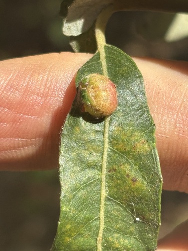
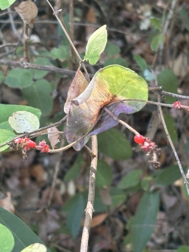
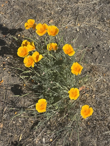
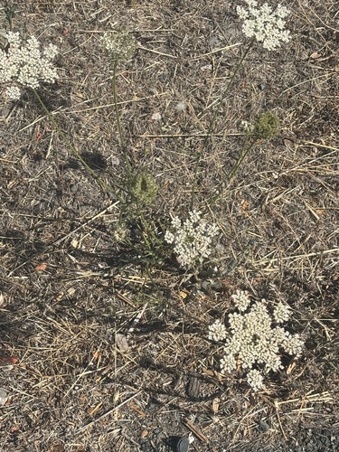
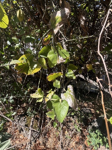
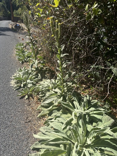
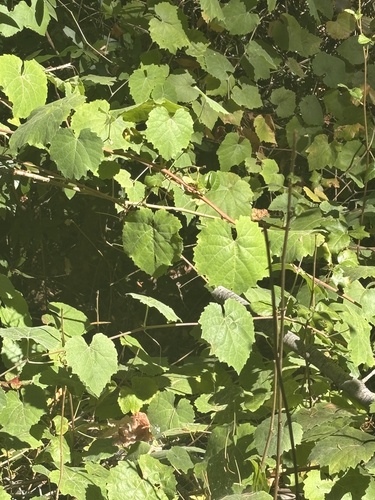
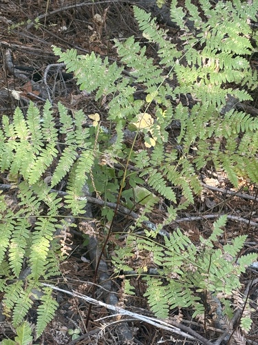
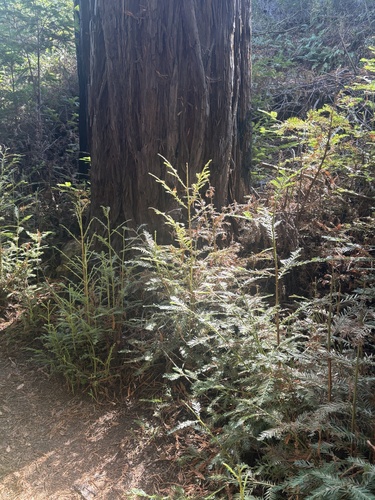
Research-grade observations from iNaturalist (within ~15 mi).
Nearest stream gauge
Events
Gallery
Sources
- • Wikipedia
- • US Census Bureau (ACS 5-year estimates)
- • Open-Meteo (ERA5 reanalysis)
- • NOAA National Weather Service
- • NCES via Urban Institute Education Data Portal
- • GBIF (Global Biodiversity Information Facility)
- • iNaturalist
- • CDC PLACES
- • Open-Meteo / sunrise-sunset.org
- • Wikipedia Pageviews API
- • Open Library
- • NASA EONET