Browse / Canada / Quebec / Kitigan Zibi
Kitigan Zibi
Quebecvillage

Kitigan Zibi
Total population
1,448
Founded
1849
Air quality index
Demographic figures from Statistics Canada. Overview below cites Wikipedia and may reference a different year.
City facts
Facts from Wikidata (CC0).
Overview
Kitigan Zibi is a First Nations reserve of the Kitigan Zibi Anishinabeg First Nation, an Algonquin band. It is situated near the confluence of the Désert and Gatineau Rivers, and borders south-west on the Town of Maniwaki in the Outaouais region of Quebec, Canada. Having a total area of 210.09 km2 (81.12 sq mi), it is the largest Algonquin Nation in Canada in both area and population.
Read more on WikipediaHistory & geography
History
The history of the reserve is closely linked to that of the Town of Maniwaki, which developed concurrently. In the first half of the 19th century, Algonquins of the mission at Lake of Two Mountains, under the leadership of Chief Pakinawatik, came to the area of the Désert River. Shortly after, in 1832, the Hudson's Bay Company followed them and installed a trading post at the mouth of this river (now within the municipal boundaries of Maniwaki). A decade later, Missionary Oblates of Mary Immaculate established the mission of Notre-Dame-du-Desert and, from 1849, they demanded of the authorities the demarcation of a township in order to establish a reserve for the Algonquins. Chief Pakinawatik, along with other leaders, journeyed by canoe on three occasions to Upper Canada (Toronto) and negotiated the terms for the setting aside of the reserve land. The township limits were drawn in 1850 and given the name of Maniwaki by the Oblates at this time. Legally established in 1851, the reserve was demarcated in 1853. In the decree implementing it, the reserve was called "Manawaki" (after mani aki meaning "Mary's Land") and also "River Desert". The name "Kitigan Zibi" came to replace the other two on September 24, 1994, when the band council gave this title to the reserve. The same community filed in December 2016 a claim in Ontario Superior Court, claiming it never surrendered and still owns the land in Ottawa on which Parliament of Canada stands.
Geography
The reserve is bounded by the Eagle River along its west side, by the Désert River on the north side, and the Gatineau River on the east side. Most of its development is along or near Highway 105, while forest still covers much of the reserve. It is also home to 13 fresh water lakes with areas in excess of and approximately 29 smaller lakes and streams located throughout the territory. Fish species found within these waters include walleye, pike, bass, trout, carp, catfish, and fresh water sturgeon. Mammals found within the reserve include beaver, muskrat, fisher, marten, mink, otter, bobcat, lynx, cougar, deer, black bear, wolf, and moose.
Excerpted from the corresponding Wikipedia article (CC BY-SA).
Geography
Coordinates & boundaries from the US Census TIGER/Line shapefiles.
Climate
Air quality
Current readings from Open-Meteo Air Quality API (Copernicus CAMS European reanalysis).
Walkability
Amenities nearby
Wildlife & biodiversity
Most-observed species
- Blue JayCyanocitta cristata (Linnaeus, 1758) · Aves406
- Black-capped ChickadeePoecile atricapillus (Linnaeus, 1766) · Aves401
- American CrowCorvus brachyrhynchos C.L.Brehm, 1822 · Aves297
- American RobinTurdus migratorius Linnaeus, 1766 · Aves237
- American GoldfinchSpinus tristis (Linnaeus, 1758) · Aves220
- Song SparrowMelospiza melodia (A.Wilson, 1810) · Aves211
- Red-breasted NuthatchSitta canadensis Linnaeus, 1766 · Aves194
- Common GrackleQuiscalus quiscula (Linnaeus, 1758) · Aves173
Citizen-science & research observations from the Global Biodiversity Information Facility (GBIF).
Earthquake history
Most recent
- M 4 — 2026-04-1421 km NNE of Shawville, Canada
- M 2.9 — 2025-09-2222 km NW of Notre-Dame-du-Mont-Carmel, Canada
- M 3.7 — 2025-03-1917 km W of Rivière-Rouge, Canada
- M 3.7 — 2024-12-2961 km NNW of Saint-Boniface, Canada
- M 3.3 — 2024-04-0772 km NNW of Saint-Boniface, Canada
- M 3.2 — 2023-12-3013 km WSW of Notre-Dame-du-Mont-Carmel, Canada
Events from the USGS Earthquake Catalog (global) (FDSN Event Web Service).
Photos
Sights & places nearby
Notable people from here


People born within ~10 km, from Wikidata (CC0). Click any name for their Wikipedia article.
Nearby places in Quebec
- Lac-Cayamant19.3 mi away
- Saint-Aimé-du-Lac-des-Îles23 mi away
- Saint-Jean-sur-le-Lac24.2 mi away
- Danford Lake31.1 mi away
- Ferme-Neuve35.4 mi away
- Bowman37.7 mi away
- Otter Lake40.8 mi away
- Mont-Saint-Michel43 mi away
- Lac-des-Loups47.7 mi away
- Sainte-Véronique49.5 mi away
- Sainte-Cécile-de-Masham49.8 mi away
- Wakefield50 mi away
Geography & sun
Elevation, sunrise/sunset and daylight from Open-Meteo. Solar climatology from NASA POWER.
Nearby airports
Public attention
Pageview totals from the Wikimedia Pageviews API.
Books about this place
Recent natural events nearby
Ground air-quality sensors
Recently spotted species
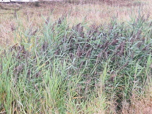
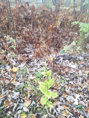
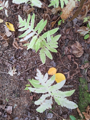
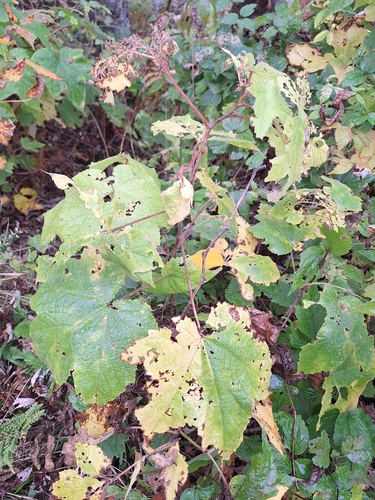
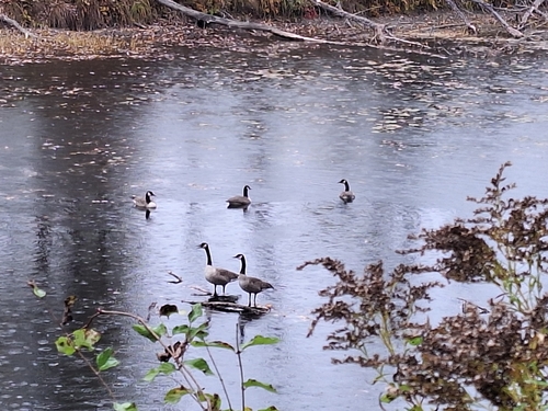
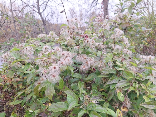
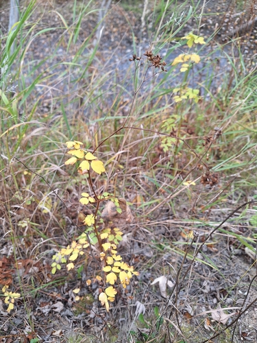
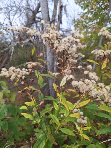
Research-grade observations from iNaturalist (within ~15 mi).
Events
Gallery
Official Identifiers
StatCan — Statistics Canada
- SGC code
- 2483802
- Population (Wikidata)
- 1,204
- Wikidata
- Q3197586
Standard Geographical Classification (SGC) via Wikidata P3012
Sources
- • Wikipedia
- • Wikidata
- • Open-Meteo Air Quality (CAMS)
- • USGS Earthquake Catalog (global feed)
- • GBIF (Global Biodiversity Information Facility)
- • iNaturalist
- • Open-Meteo / sunrise-sunset.org
- • Wikipedia Pageviews API
- • StatCan — Statistics Canada — Standard Geographical Classification (SGC) via Wikidata P3012