Browse / Canada / British Columbia / Kitimat
Kitimat
British Columbiacity

Kitimat
Total population
8,236
Demographic figures from Statistics Canada. Overview below cites Wikipedia and may reference a different year.
City facts
Facts from Wikidata (CC0).
Overview
Kitimat is a district municipality in the North Coast region of British Columbia, Canada. It is a member municipality of the Regional District of Kitimat–Stikine regional government. The Kitimat Valley is part of the most populous urban district in northwest British Columbia, which includes Terrace to the north along the Skeena River Valley. The city was planned and built by the Aluminum Company of Canada (Alcan) during the 1950s. Its post office was approved on 6 June 1952.
Read more on WikipediaHistory & geography
History
"Kitimat" in the Tsimshian language refers to the Haisla First Nation as the "People of the Snow". Before 1950 the Kitimat township was a small fishing village at the head of the Kitimat Arm of the Douglas Channel, a deepwater fjord. The municipal town of Kitimat came into existence in 1951 after the Provincial Government of British Columbia invited Alcan to develop hydroelectric facilities to support one of the most power-intensive of all industries—the aluminum smelting industry. The company built a dam, tunnel, powerhouse, transmission line, a deep-sea terminal and smelter. The company also designed, laid out and assisted with the initial construction of the city. At the time, the combined development was considered "the most expensive project ever attempted by private industry." Today, Kitimat benefits from the quality of planning resulting from the Garden City design concept. Stein's design kept industry well separated from the community with large areas for expansion. He also created looped streets surrounding an urban city centre mall and linked by over of walkways connecting to all areas of the community. The substantial greenspace areas and future expansion concepts designed by Stein have been upheld to this day by the city planners, thereby resulting in a low-density settlement pattern interspersed with forested patches. Also, the Alcan-based city origin and land provenance remain documented in the form of restrictive covenants registered on title.
Geography
Kitimat is located south of Terrace and Thornhill on Highway 37. Prince Rupert is northwest, and Prince George is to the east.
Excerpted from the corresponding Wikipedia article (CC BY-SA).
Geography
Coordinates & boundaries from the US Census TIGER/Line shapefiles.
Climate
Air quality
Walkability
Amenities nearby
Wildlife & biodiversity
Earthquake history
Photos
Sights & places nearby
Notable people from here


People born within ~10 km, from Wikidata (CC0). Click any name for their Wikipedia article.
Nearby places in British Columbia
Geography & sun
Elevation, sunrise/sunset and daylight from Open-Meteo. Solar climatology from NASA POWER.
Nearby airports
Public attention
Pageview totals from the Wikimedia Pageviews API.
Books about Kitimat
Search results from Open Library.
Recent natural events nearby
Ground air-quality sensors
Recently spotted species
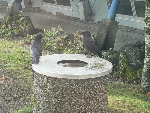
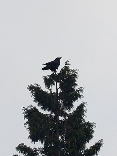
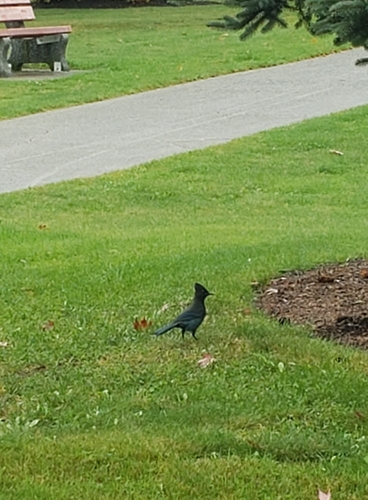
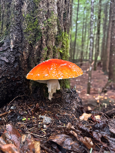
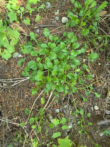


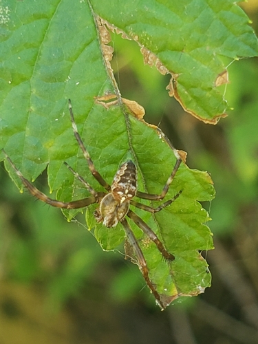

Research-grade observations from iNaturalist (within ~15 mi).
Events
Gallery
Official Identifiers
StatCan — Statistics Canada
- SGC code
- 5949005
- Population (Wikidata)
- 8,131
- Wikidata
- Q1307936
Standard Geographical Classification (SGC) via Wikidata P3012
Sources
- • Wikipedia
- • Wikidata
- • iNaturalist
- • Open-Meteo / sunrise-sunset.org
- • Wikipedia Pageviews API
- • Open Library
- • StatCan — Statistics Canada — Standard Geographical Classification (SGC) via Wikidata P3012