Browse / Canada / British Columbia / Kitkatla
Kitkatla
British Columbiavillage

Kitkatla
Total population
490
Demographic figures from Statistics Canada. Overview below cites Wikipedia and may reference a different year.
City facts
Overview
Kitkatla is the name of the people who live in Lax Klan, a small Sm'algyax-speaking village situated approximately 45 km S.W. of Prince Rupert, British Columbia, Canada, on the north side of Dolphin Island. The village is accessible via Prince Rupert by regular float plane flights or by boat. It is home to the Gitxaała people, and the place is called Lax Klan.
Read more on WikipediaHistory & geography
Geography
Coordinates & boundaries from the US Census TIGER/Line shapefiles.
Climate
Air quality
Walkability
Amenities nearby
Wildlife & biodiversity
Earthquake history
Photos
Sights & places nearby
Notable people from here
Nearby places in British Columbia
Geography & sun
Elevation, sunrise/sunset and daylight from Open-Meteo. Solar climatology from NASA POWER.
Nearby airports
Public attention
Pageview totals from the Wikimedia Pageviews API.
Books about this place
Recent natural events nearby
Ground air-quality sensors
Recently spotted species
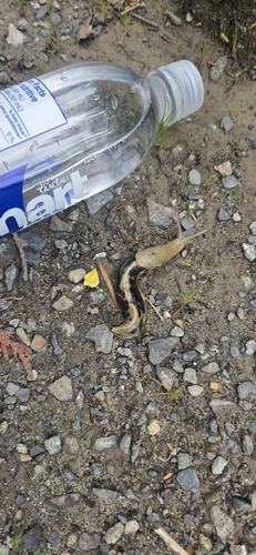
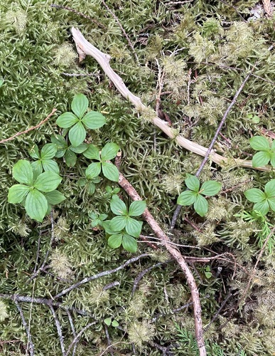

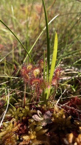
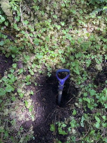
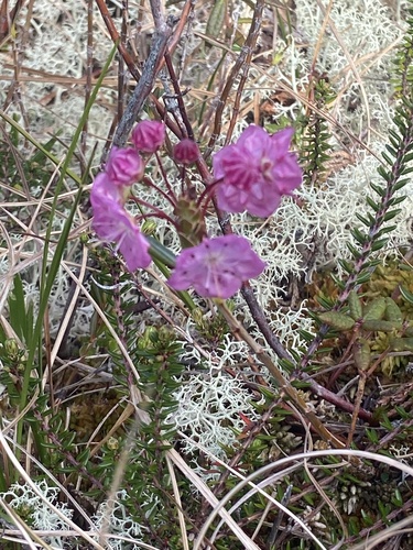
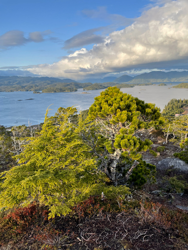
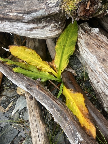
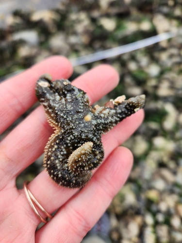
Research-grade observations from iNaturalist (within ~15 mi).
Events
Gallery
Sources
- • Wikipedia
- • iNaturalist
- • Open-Meteo / sunrise-sunset.org
- • Wikipedia Pageviews API