Browse / Canada / British Columbia / Krestova
Krestova
British Columbiahamlet

Krestova
Demographic figures from Statistics Canada. Overview below cites Wikipedia and may reference a different year.
City facts
Overview
Krestova is an unincorporated community of about 150 people in the Kootenay region of British Columbia, Canada. The community was established by members of the Doukhobor religious group, who originally immigrated from Ukraine and Russia, in 1911-12. The name comes from the Russian "Dolina Krestova ", meaning "valley of the cross". The area is still home to the "Sons of Freedom" movement, which split from the Doukhobor community in the early 1900s.
Read more on WikipediaHistory & geography
History
Krestova was the centre of decades of conflict between the Sons of Freedom, and the British Columbia government, the Royal Canadian Mounted Police (RCMP), and moderate Doukhobors. The Sons of Freedom, also known as "Freedomites", had moved to Krestova in 1929 and were opposed to many government requirements, especially compulsory public education. Members burned down schools, public buildings, and their own homes — in the summer of 1953, 400 homes in the Krestova area were destroyed. Sons of Freedom staged protests against government actions, often in the nude. In the 1950s, Sons of Freedom children in Krestova were forcibly relocated by the RCMP to a residential school in New Denver, B.C. The provincial government issued a "statement of regret" for these actions in 2004.
Geography
The town is located northwest of the confluence of the Slocan and Kootenay rivers, in the southern region of the province of British Columbia. It is part of the Electoral Area H of the Regional District of Central Kootenay. The nearest large towns are Castlegar to the southwest, and Nelson to the east.
Excerpted from the corresponding Wikipedia article (CC BY-SA).
Geography
Coordinates & boundaries from the US Census TIGER/Line shapefiles.
Climate
Air quality
Walkability
Amenities nearby
Wildlife & biodiversity
Earthquake history
Photos
Sights & places nearby
Notable people from here
Nearby places in British Columbia
Geography & sun
Elevation, sunrise/sunset and daylight from Open-Meteo. Solar climatology from NASA POWER.
Nearby airports
Public attention
Pageview totals from the Wikimedia Pageviews API.
Books about this place
Recent natural events nearby
- Wildfire Parker Lake, Boundary, IdahoWildfires · 2026-08-23 · 59 mi
- Wildfire Silver, Boundary, IdahoWildfires · 2026-08-23 · 70 mi
- Wildfire HUDSPETH, Stevens, WashingtonWildfires · 2026-08-01 · 97 mi
- Wildfire SINLAHEKIN, Okanogan, WashingtonWildfires · 2026-07-26 · 108 mi
- Wildfire MITRE ROCK, Stevens, WashingtonWildfires · 2026-08-01 · 111 mi
- Wildfire AUTUMN LANE, Spokane, WashingtonWildfires · 2026-08-01 · 114 mi
- Wildfire FAIRVIEW, Spokane, WashingtonWildfires · 2026-08-01 · 117 mi
- Wildfire OLD TRAILS, Spokane, WashingtonWildfires · 2026-08-01 · 122 mi
Wildfires, storms and other events from NASA EONET (last 12 months, within 250 mi).
Ground air-quality sensors
Recently spotted species
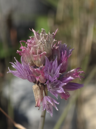
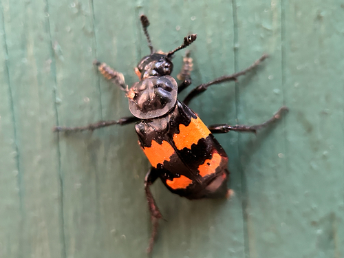
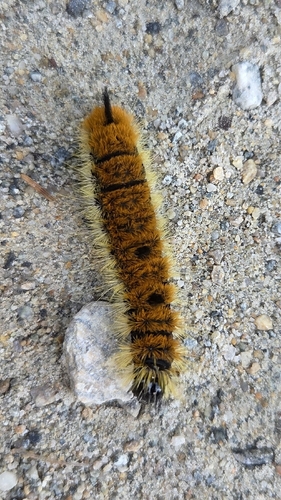
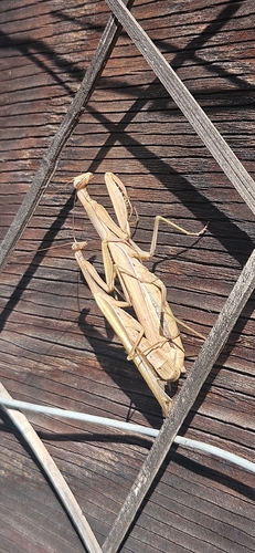
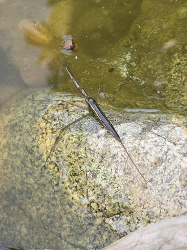
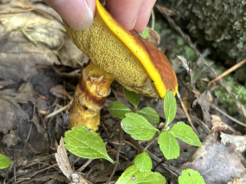
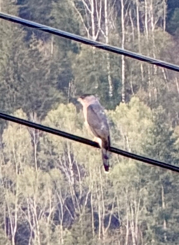
Research-grade observations from iNaturalist (within ~15 mi).
Events
Gallery
Sources
- • Wikipedia
- • Wikidata
- • iNaturalist
- • Open-Meteo / sunrise-sunset.org
- • Wikipedia Pageviews API
- • NASA EONET